2 m away
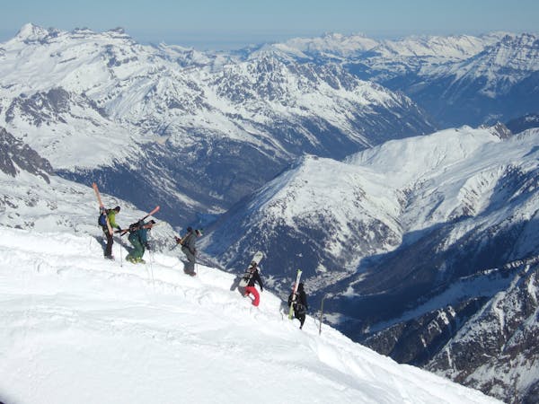
Tête du Géant: North Couloir

Short but steep couloir that often retains brilliant snow conditions.
Extreme Freeride Skiing
- Distance
- 1.8 km
- Ascent
- 263 m
- Descent
- 464 m

A really nice line where you will be alone, only for expert skiers.
Freeride Skiing Extreme

A similar line that the "Leche's expedition line", but this time you are taking an easier entrance. The entrance is steep at about 50 degrees, technical and complicated. You start your line where people usually go to look at the view, your line is an E face which means it gets early sun. The main issue will be your entrance, remember we are only just above 2000 meters and in case of warm weather beforehand this part can be icy. Sharp edges essential. Once the entrance has been negotiated you aim to get to the left side of the mountain in order to get back close the "Leche's expedition line". For this you turn to the left and pass on top of a little ridge. This will avoid you staying in the middle of a big line with avalanche risks. A good weather window will be needed for this line as it will take some time. Once the ridge is passed it is less steep. You will then later on join a wooded area where some good turns can be found. Passing this area you will need to cross over a river and hike back to the blue slope "31 - La Tovassière", which will bring you back to the Morgins village. This walk might take about 30 minutes and there is a little wooden bridge there to cross the river.
Extreme
Extreme skiing terrain above 45 degrees. These routes are reserved for experienced experts.
2 m away

Short but steep couloir that often retains brilliant snow conditions.
Extreme Freeride Skiing
9 m away

A steep hike with a short line but really steep.
Extreme Freeride Skiing
282 m away

Nice shortcut to reach the bottom of the Linga's sector. Very steep
Severe Freeride Skiing
357 m away

An experts only line, requiring quite a significant approach.
Extreme Freeride Skiing
414 m away

A long line without many skills required, although the lower part of the line does get slightly steeper.
Severe Freeride Skiing
425 m away

A long line with 100 metres of steep skiing.
Extreme Freeride Skiing
429 m away

A really technical and isolated line where high skills are needed.
Extreme Freeride Skiing
430 m away

A short line with a really steep and very technical part
Extreme Freeride Skiing
737 m away

A really nice traverse line that is good in bad visibility and often untracked.
Difficult Freeride Skiing
766 m away

A nice line, well protected from the sun, starting around 2000 meters where there is often fresh snow.
Extreme Freeride Skiing

18 routes · Freeride Skiing