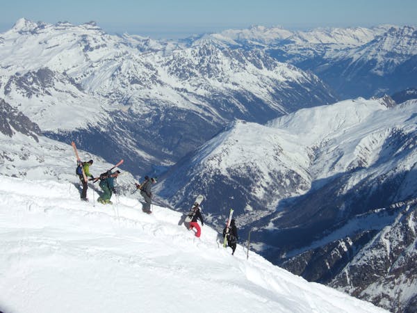
4 m away
Combe's engaged line.

A long line with 100 metres of steep skiing.
Extreme Freeride Skiing
- Distance
- 1.6 km
- Ascent
- 32 m
- Descent
- 457 m

A really technical and isolated line where high skills are needed.
Freeride Skiing Extreme

At the top of "L'echo Alpin" chairlift turn right. The first section of the line is not steep and can feel like a slope isolated but navigation skills are really high. After the gentle part about 200 meters long, go to the right where you can see the "L'echo alpin" chairlift. Steep and technical part is here, with a lot of avalanche risks, remember right side is a ridge so keep straight in the steep part. The line gets a lot of snow and well protected from the sun as North Est, good snow are often present here, or icy snow is case of rainfall. Lowest part of the line will be into a large gully with still a high risk of avalanches. The line finishes on top of "Linga" gondola, or red slope Le Linga" which leads back to the bottom of the linga.
Extreme
Extreme skiing terrain above 45 degrees. These routes are reserved for experienced experts.
4 m away

A long line with 100 metres of steep skiing.
Extreme Freeride Skiing
4 m away

A short line with a really steep and very technical part
Extreme Freeride Skiing
139 m away

An experts only line, requiring quite a significant approach.
Extreme Freeride Skiing
153 m away

Nice shortcut to reach the bottom of the Linga's sector. Very steep
Severe Freeride Skiing
189 m away

A long line without many skills required, although the lower part of the line does get slightly steeper.
Severe Freeride Skiing
421 m away

A steep hike with a short line but really steep.
Extreme Freeride Skiing
429 m away

Short but steep couloir that often retains brilliant snow conditions.
Extreme Freeride Skiing
429 m away

A really nice line where you will be alone, only for expert skiers.
Extreme Freeride Skiing
618 m away

A really nice traverse line that is good in bad visibility and often untracked.
Difficult Freeride Skiing
659 m away

A nice line, well protected from the sun, starting around 2000 meters where there is often fresh snow.
Extreme Freeride Skiing

18 routes · Freeride Skiing