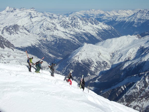
187 m away
Combe's engaged line.

A long line with 100 metres of steep skiing.
Extreme Freeride Skiing
- Distance
- 1.6 km
- Ascent
- 32 m
- Descent
- 457 m

A long line without many skills required, although the lower part of the line does get slightly steeper.
Freeride Skiing Severe

Start the line from the red slope "Les Combes", and turn to the right side instead of going down the red slope. Keep your speed as you will need to cross a higher part into the middle section. Other than a few rocks in the middle of the line, there are not many hazards over this part of the mountain, just remember that this area is well exposed to the sun which means that hard packed snow can be found in case after wet weather and cold temperatures. Stay as high as the chairlift as a navigation guide, then we will have to cross this into the steepest part. The crossing will happen after the little patch of trees, in the middle more or less of the "Les Combes" chairlift. Here will be the steepest part, where avalanches risk will be at the highest, but it's only 50 meters long and provides access to the red slope "Les Combes" and to the same chairlift including the "Cornebois" one. This area is often tracked as it is easy to reach.
Severe
Steep skiing at 38-45 degrees. This requires very good technique and the risk of falling has serious consequences.
187 m away

A long line with 100 metres of steep skiing.
Extreme Freeride Skiing
189 m away

A really technical and isolated line where high skills are needed.
Extreme Freeride Skiing
193 m away

A short line with a really steep and very technical part
Extreme Freeride Skiing
235 m away

Nice shortcut to reach the bottom of the Linga's sector. Very steep
Severe Freeride Skiing
290 m away

An experts only line, requiring quite a significant approach.
Extreme Freeride Skiing
408 m away

A steep hike with a short line but really steep.
Extreme Freeride Skiing
414 m away

Short but steep couloir that often retains brilliant snow conditions.
Extreme Freeride Skiing
414 m away

A really nice line where you will be alone, only for expert skiers.
Extreme Freeride Skiing
438 m away

A really nice traverse line that is good in bad visibility and often untracked.
Difficult Freeride Skiing
839 m away

A nice line, well protected from the sun, starting around 2000 meters where there is often fresh snow.
Extreme Freeride Skiing

18 routes · Freeride Skiing