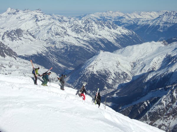
95 m away
Linga's short cut line

Nice shortcut to reach the bottom of the Linga's sector. Very steep
Severe Freeride Skiing
- Distance
- 624 m
- Ascent
- 5 m
- Descent
- 173 m

An experts only line, requiring quite a significant approach.
Freeride Skiing Extreme

Cut out to the right of the red slope "Le Linga". Keep your speed here, but usually this is already tracked. Keep going, crossing an awkward ridge, traversing "Leche's" main face to reach the other ridge. Crossing the second ridge will be even more complicated, as this is into a really awkward exposed part. Allow 30 mins to cross from one ridge to the next. Once the second ridge is passed you are at the top of the main line, the most dangerous part is done, however you are still in a steep area where no one can see you. It is SE facing meaning early sun so watch the timing as it may be icy if you are too early, avalanche prone if you are too late. There shouldn't be any rocks once beyond the ridge. At the bottom of the run you will join a wooded part where trees can make the way difficult, however your aim is to join the blue slope "31 - La Tovassière" and getting access back to Morgins village. This will take 30 minutes of walking minimum before getting back to the piste.
Extreme
Extreme skiing terrain above 45 degrees. These routes are reserved for experienced experts.
95 m away

Nice shortcut to reach the bottom of the Linga's sector. Very steep
Severe Freeride Skiing
137 m away

A short line with a really steep and very technical part
Extreme Freeride Skiing
138 m away

A long line with 100 metres of steep skiing.
Extreme Freeride Skiing
139 m away

A really technical and isolated line where high skills are needed.
Extreme Freeride Skiing
290 m away

A long line without many skills required, although the lower part of the line does get slightly steeper.
Severe Freeride Skiing
348 m away

A steep hike with a short line but really steep.
Extreme Freeride Skiing
357 m away

A really nice line where you will be alone, only for expert skiers.
Extreme Freeride Skiing
357 m away

Short but steep couloir that often retains brilliant snow conditions.
Extreme Freeride Skiing
553 m away

A nice line, well protected from the sun, starting around 2000 meters where there is often fresh snow.
Extreme Freeride Skiing
667 m away

A really long and nice line with steep and technical access.
Extreme Freeride Skiing

18 routes · Freeride Skiing