6.7 km away
The Garden of Eden - Morenia Lift

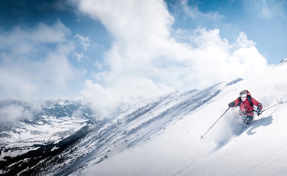
A large area full of fun and wide off-piste sections of plenty of powder with various gradients.
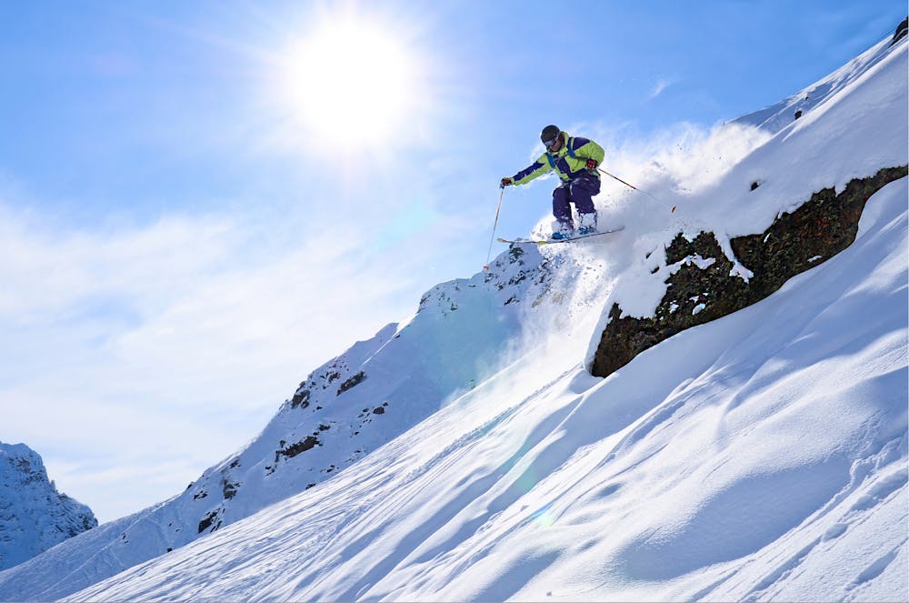
Difficult Freeride Skiing
- Distance
- 2.4 km
- Ascent
- 12 m
- Descent
- 749 m
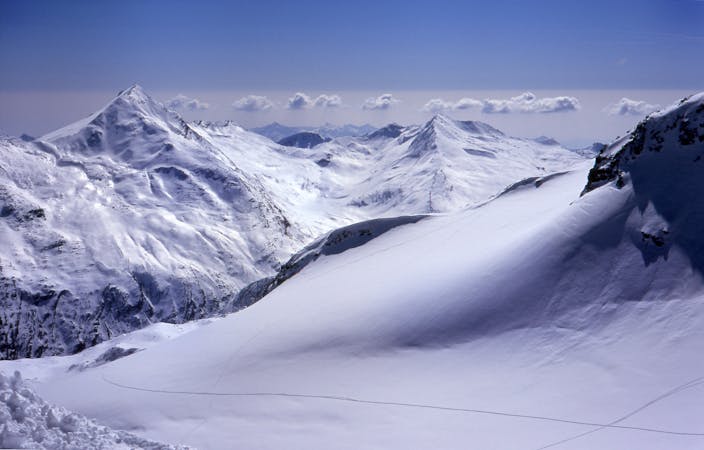
Epic views and incredible run down
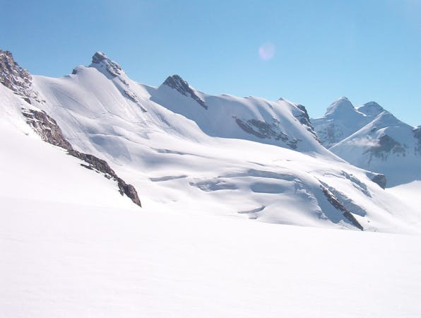
Freeride Skiing Difficult

This is a popular freeride skiing route which is generally considered to be difficult. It's very remote, it features high exposure (e3) and is typically done between January and March. From a low point of 3.8 km to the maximum altitude of 4.2 km, the route covers 1.4 km, 2 vertical metres of ascent and 417 vertical metres of descent. It's graded 3.1 and Labande grade 3. You'll need rope, skins, ice axe, crampons and glacier kit to complete it safely.
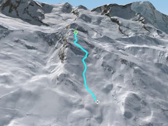
From the summit of Strahlhorn, 4190m, head west along the ridge and you'll see a clear bowl to drop into after 500m.
Difficult
Serious gradient of 30-38 degrees where a real risk of slipping exists.

In case of a fall, death is highly likely.
Little chance of being seen or helped in case of an accident.
6.7 km away
A large area full of fun and wide off-piste sections of plenty of powder with various gradients.
Difficult Freeride Skiing
6.8 km away

A great, medium length off-piste route. With a choice of bumps on the right, more powdery snow the to left, open at the top and running under the cliff face to the left towards the bottom.
Difficult Freeride Skiing
7.3 km away

The varied bottom section to the Triftji ski area. Boasts some great short pitches and some traverses to take you back to the main ski area.
Moderate Freeride Skiing
7.4 km away

Alternative route after Triftji which requires a hike at the end
Difficult Freeride Skiing
7.6 km away

A classic off-piste route in Zermatt. Powder dreams after fresh snow, or an excellent bump run
Moderate Freeride Skiing
8.2 km away
Steep terrrain linking the Hohtalli station to the 'Platte 31' off-piste run.
Difficult Freeride Skiing
8.2 km away

A short traverse through rolling terrain which leads to great skiing on a long and sustained slope.
Difficult Freeride Skiing
8.4 km away

The front of the Rothorn face which features a variety of gullies and ridges to play around on - just don't stray too far left of the poles as the aspect changes to South.
Difficult Freeride Skiing
8.5 km away

A large area full of fun and wide off piste sections of plenty of powder with various gradients.
Difficult Freeride Skiing
8.6 km away

A short but fun riverbed ski line, close to the pistes and not too challenging so open to many levels of skier and snowboarder.
Moderate Freeride Skiing
6 routes · Freeride Skiing
20 routes · Freeride Skiing