187 m away
Approach to the Aiguilles Rouges Hut
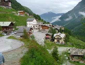
A lovely walk up a well marked trail, strenuous in its first half
Difficult Hiking
- Distance
- 5.9 km
- Ascent
- 750 m
- Descent
- 16 m
Beautiful path through the forest to go to the blue lake of Arolla.
Hiking Moderate

This is a popular hiking route which is generally considered to be moderate. It's very remote, it features low exposure and is typically done between April and October. From a low point of 1.8 km to the maximum altitude of 2.2 km, the route covers 9.6 km, 630 vertical metres of ascent and 636 vertical metres of descent.
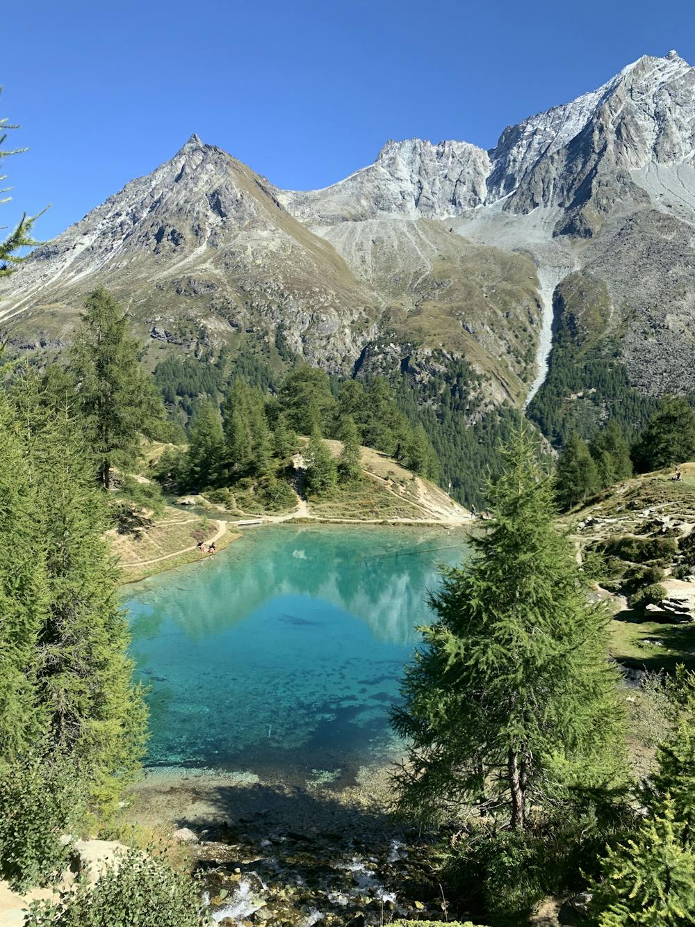
Beautiful path in the forest, the climb is not so hard and can be done with children and dogs. The lake has an amazing blue color and there are places to make fire and picnic tables. The water is very cold but dogs like it.
Moderate
Hiking along trails with some uneven terrain and small hills. Small rocks and roots may be present.

The path is on completely flat land and potential injury is limited to falling over.

Little chance of being seen or helped in case of an accident.
187 m away
A lovely walk up a well marked trail, strenuous in its first half
Difficult Hiking
6.4 km away
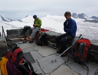
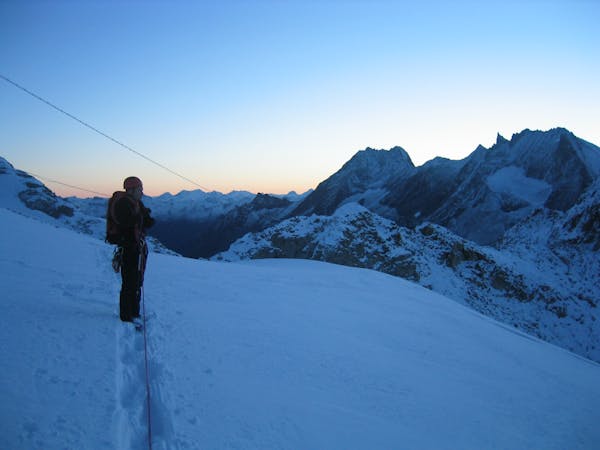
A long, tough climb to a spectacularly situated Swiss mountain hut.
Difficult Hiking

10 routes · Alpine Climbing · Hiking
6 routes · Alpine Climbing · Hiking

20 routes · Alpine Climbing · Hiking