4.2 km away
Approach to the Aiguilles Rouges Hut
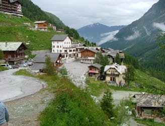
A lovely walk up a well marked trail, strenuous in its first half
Difficult Hiking
- Distance
- 5.9 km
- Ascent
- 750 m
- Descent
- 16 m
Total walking time: 7-8 hours, 650m of ascent, 1,750m of descent.
Hiking Moderate

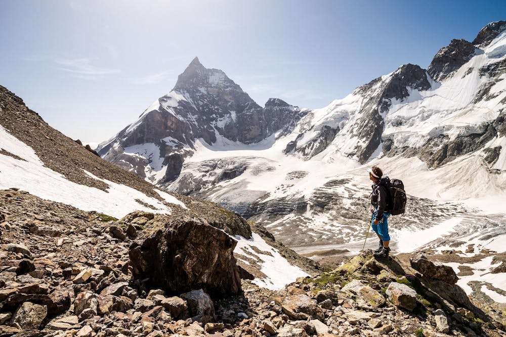
It is possible to start the day with an early ascent of the Pigne d’Arolla (3,792m), the highest point on the Haute Route from where you can enjoy wonderful panoramic views. On the way down, pick up your packs from the Vignettes Hut before descending to the small village of Arolla. You will travel through a variety of different landscapes today from the high mountain ice and snow to the sub-mountain flora and fauna and down into the beautiful larch and pine forests above Arolla.
Moderate
Hiking along trails with some uneven terrain and small hills. Small rocks and roots may be present.
4.2 km away
A lovely walk up a well marked trail, strenuous in its first half
Difficult Hiking
9.6 km away
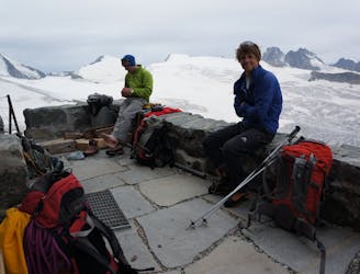
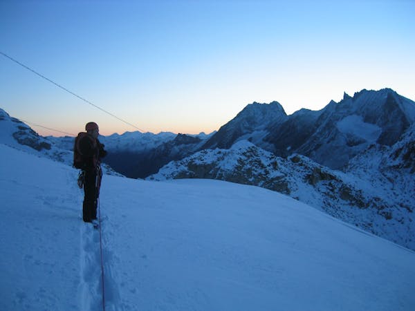
A long, tough climb to a spectacularly situated Swiss mountain hut.
Difficult Hiking

10 routes · Alpine Climbing · Hiking
6 routes · Alpine Climbing · Hiking

20 routes · Alpine Climbing · Hiking