219 m away
Approach to the Aiguilles Rouges Hut
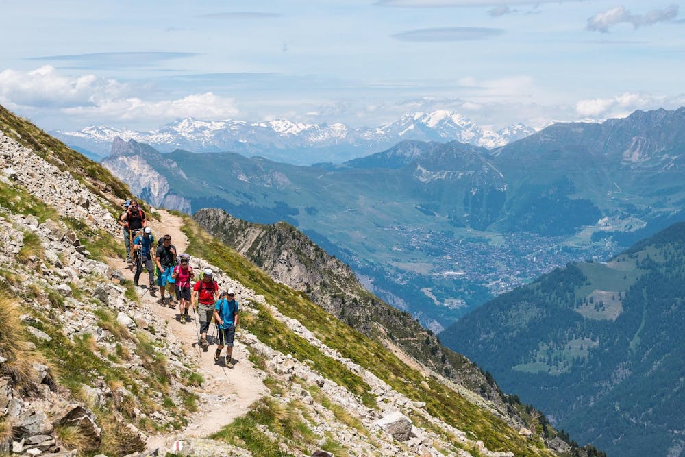
A lovely walk up a well marked trail, strenuous in its first half
Difficult Hiking
- Distance
- 5.9 km
- Ascent
- 750 m
- Descent
- 16 m
Total walking time: 5-6 hours, 1300m of ascent.
Hiking Difficult

This is a popular hiking route which is generally considered to be difficult. It's an unknown remoteness, it features unknown exposure and is typically done in an unknown time of year. From a low point of 2 km to the maximum altitude of 3.3 km, the route covers 8.3 km, 1293 vertical metres of ascent and 44 vertical metres of descent.
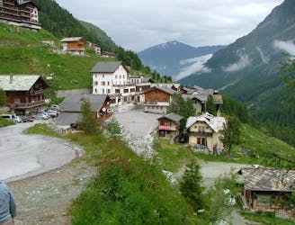
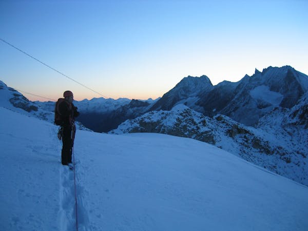
From Arolla village you ascend to the Bertol hut (3311m), this hut is perched high on the rock above the glaciers below, one of the best-located huts in the Alps. The long uphill takes you back through the forest until you reach the moraine and glaciers below the hut.
Difficult
Hiking trails where obstacles such as rocks or roots are prevalent. Some obstacles can require care to step over or around. At times, the trail can be worn and eroded. The grade of the trail is generally quite steep, and can often lead to strenuous hiking.
219 m away
A lovely walk up a well marked trail, strenuous in its first half
Difficult Hiking
6.5 km away
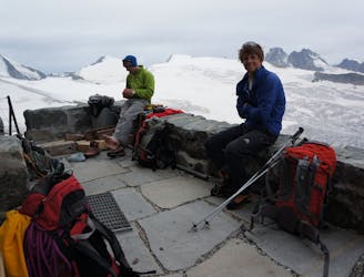
A long, tough climb to a spectacularly situated Swiss mountain hut.
Difficult Hiking

10 routes · Alpine Climbing · Hiking
6 routes · Alpine Climbing · Hiking

20 routes · Alpine Climbing · Hiking