4.4 km away
Approach to the Aiguilles Rouges Hut
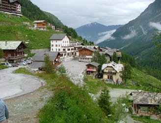
A lovely walk up a well marked trail, strenuous in its first half
Difficult Hiking
- Distance
- 5.9 km
- Ascent
- 750 m
- Descent
- 16 m
Total walking time: 9-10 hours, 890m of ascent, 1,400m of descent.
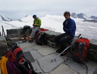
Hiking Severe

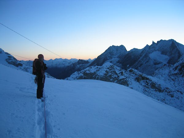
Starting early from the Bertol hut, climb to the summit of the Tete Blanche (3710m). From here, descend over the spectacular Stockli glacier, after which you have a final short climb to the Schönbielhütte. A long day with some technical ground to cover over rock, ice and large moraine walls. Getting to the end of this long and arduous day of is not the only reward, this the most beautiful stage of the Classic Haute Route, a real jaw-dropper!
Severe
Hiking challenging trails where simple scrambling, with the occasional use of the hands, is a distinct possibility. The trails are often filled with all manner of obstacles both small and large, and the hills are very steep. Obstacles and challenges are often unexpected and can be unpredictable.
4.4 km away
A lovely walk up a well marked trail, strenuous in its first half
Difficult Hiking
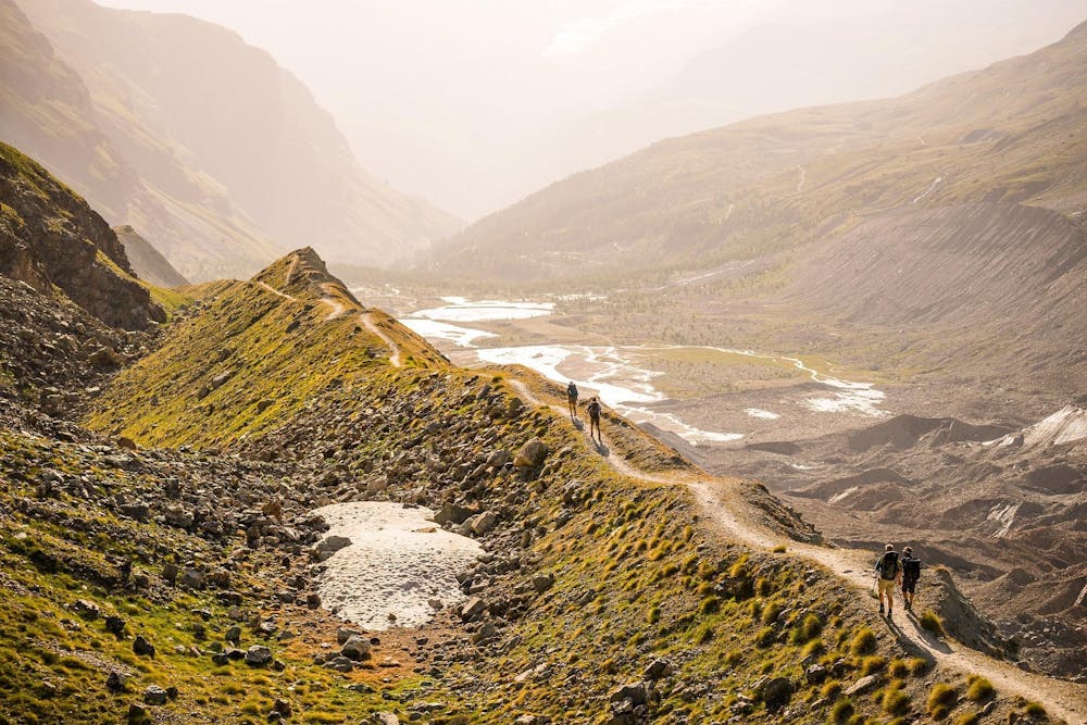
6.2 km away
A long, tough climb to a spectacularly situated Swiss mountain hut.
Difficult Hiking
7.9 km away
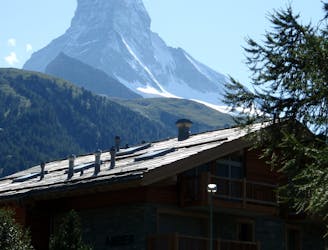
A downhill stroll into Zermatt past some epic scenery.
Moderate Hiking

9 routes · Alpine Climbing · Hiking

10 routes · Alpine Climbing · Hiking
6 routes · Alpine Climbing · Hiking

20 routes · Alpine Climbing · Hiking