

8 m away
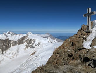
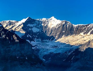
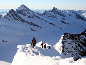
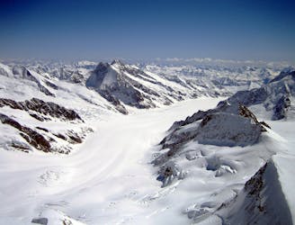
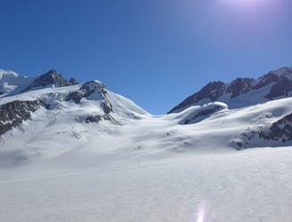
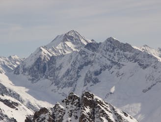
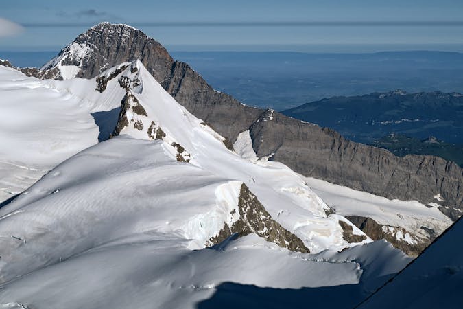
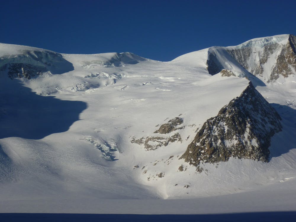
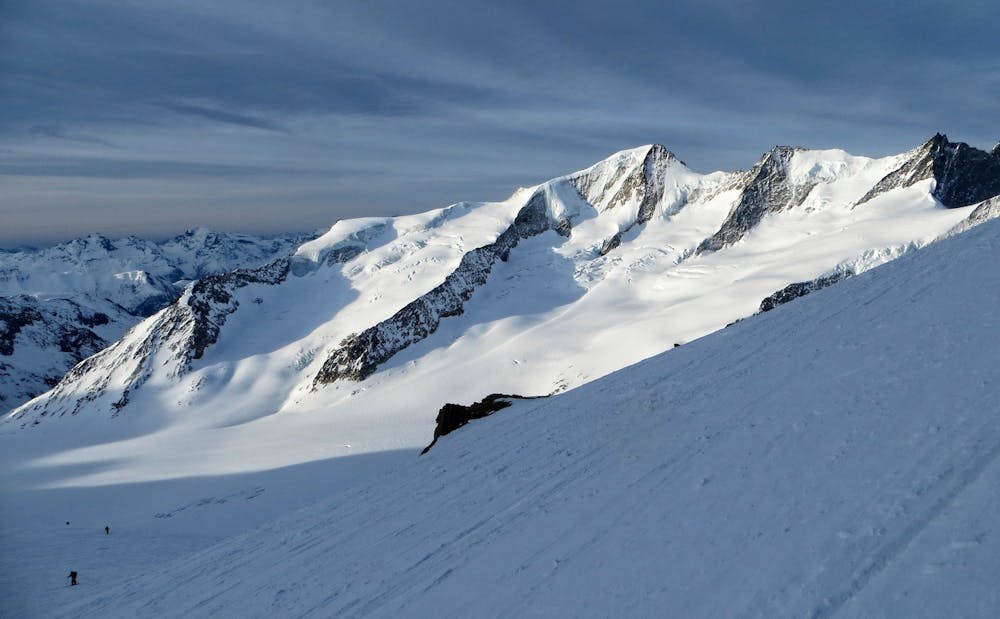
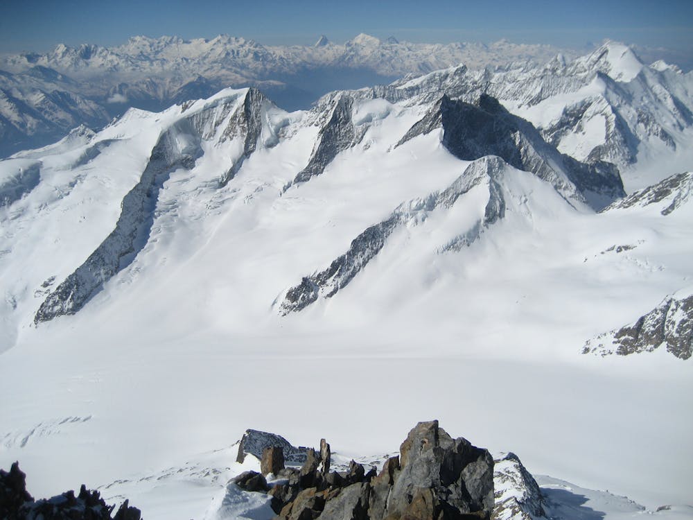
Bernese Oberland 4000m Peak Tour: Finsteraarhorn Hut to the Aletschorn
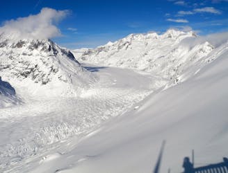
Day 4: This is a long distance journey to relocate to beneath the Aletschhorn. NOTE THE OLD BIVI HUT HERE WAS COMPLETELY DESTROYED BY AVALANCHE JAN '19 SO THERE IS NO HUT ANY MORE
Moderate Ski Touring
- Distance
- 19 km
- Ascent
- 1.2 km
- Descent
- 1.2 km