1.5 km away
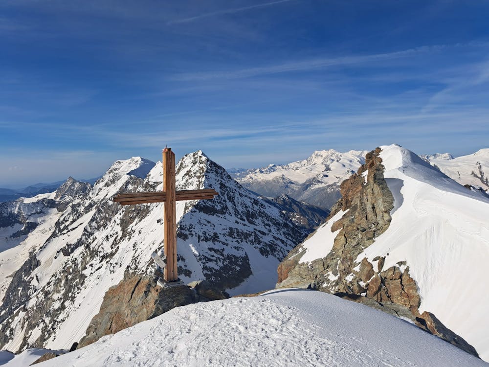
Swiss 4000ers: Weissmies 4017m
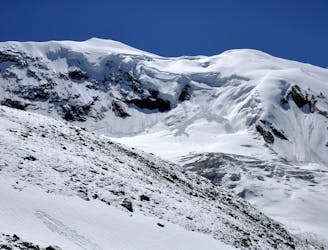
A complicated and isolated glacial peak with amazing views.
Severe Ski Touring
- Distance
- 5.2 km
- Ascent
- 951 m
- Descent
- 951 m
A unique traverse to enjoy the best of skiing
Ski Touring Moderate

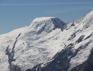
Fletschhorn is a surprisingly famous summit among mountaineers despite its lower altitude (3993m), preventing it from joining the club of 4000.
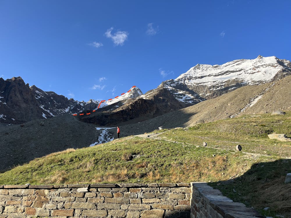
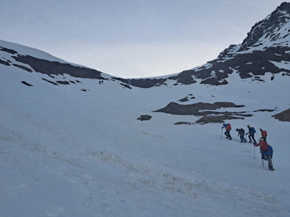
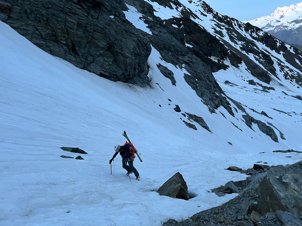
This is certainly due to the very impressive North Face of Fletschhorn, which endlessly attracts many steep skiers and alpinists...
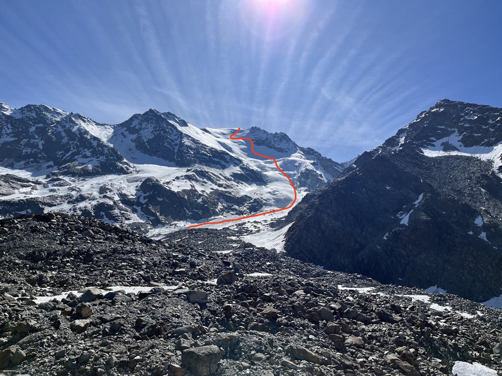
But the less known normal route combined with the descent on Grübengletscher has nothing to envy to it.
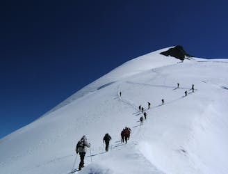
The way up to the summit via the normal route (from Weissmiesshütte) is a nice alternative to avoid seracs exposure on the Grübengletscher (however, watch out for the steep and icy parts; some ice screws might be necessary).
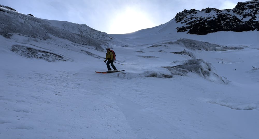
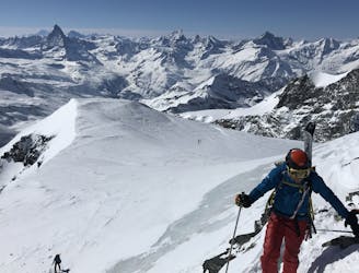
Taking the way down on the Grübengletscher is definitely one of the most rewarding skiing descent you can make: offering a perfect slope (never too steep, never too flat, max 35-40°) between impressive crevasses and seracs, in a very long descent towards Saas Balen...
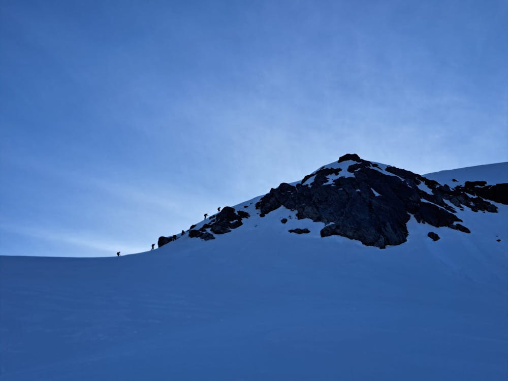
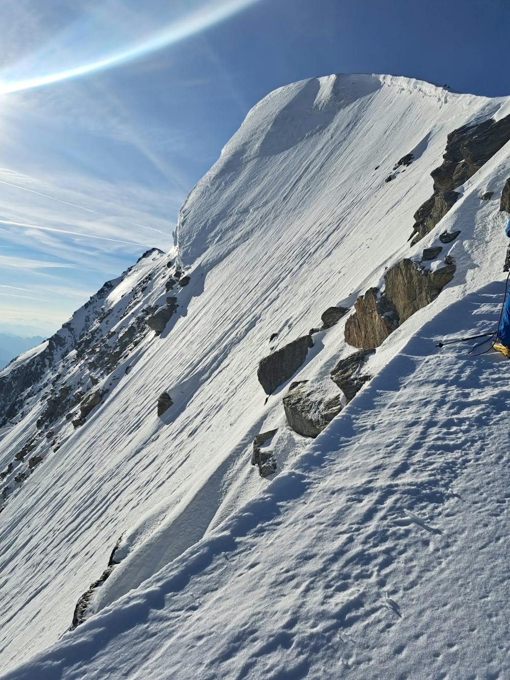
Moderate
Slopes become slightly steeper at around 25-30 degrees.

In case of a fall, death is highly likely.
Little chance of being seen or helped in case of an accident.
1.5 km away
A complicated and isolated glacial peak with amazing views.
Severe Ski Touring
5.4 km away
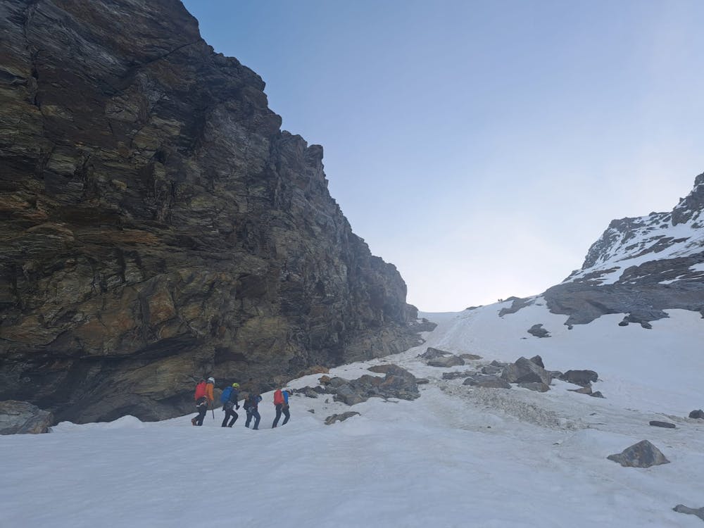
Traversing this fine and isolated mountain from a beautiful and remote, unguarded mountain hut provides an aesthetic and excellent day.
Difficult Ski Touring
5.7 km away
A couple of cols and N facing descents
Difficult Ski Touring
9.3 km away
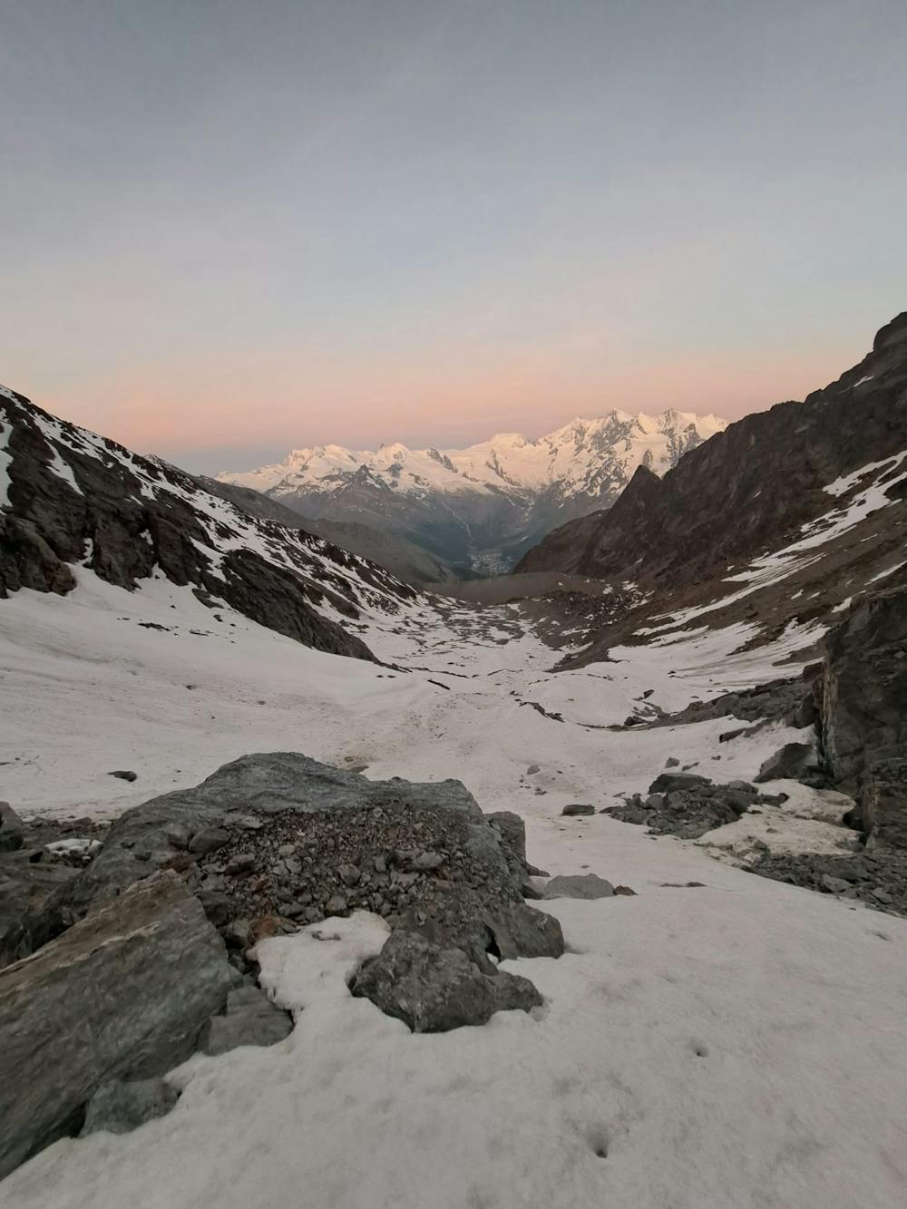
A long but relatively steady ascent up a big remote glacial peak, with great views of the giant Weisshorn nearby.
Severe Ski Touring
9.5 km away
A shorter day to yet another fine summit, allowing you lighter packs as you will be returning to the same hut.
Moderate Ski Touring
9.9 km away
A long journey to a watershed peak between the Saas and Zermatt valleys, with a nearly 3000m descent to finish!
Difficult Ski Touring

6 routes · Ski Touring
16 routes · Ski Touring