1.1 km away
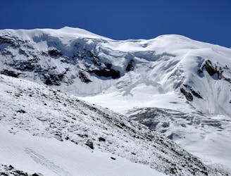
Swiss 4000ers: Strahlhorn, 4190m.
A long journey to a watershed peak between the Saas and Zermatt valleys, with a nearly 3000m descent to finish!
Difficult Ski Touring
- Distance
- 22 km
- Ascent
- 1.3 km
- Descent
- 2.6 km
A shorter day to yet another fine summit, allowing you lighter packs as you will be returning to the same hut.
Ski Touring Moderate

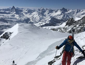
After 3 days of consecutive 4000ers, assuming you are following our week long 4000m peak itinerary, this is a slightly shorter day to recharge the batteries before a big final day. You will be staying at the Britannia Hut again this evening, so you can leave a few things there on the way up before continuing your journey to the summit.
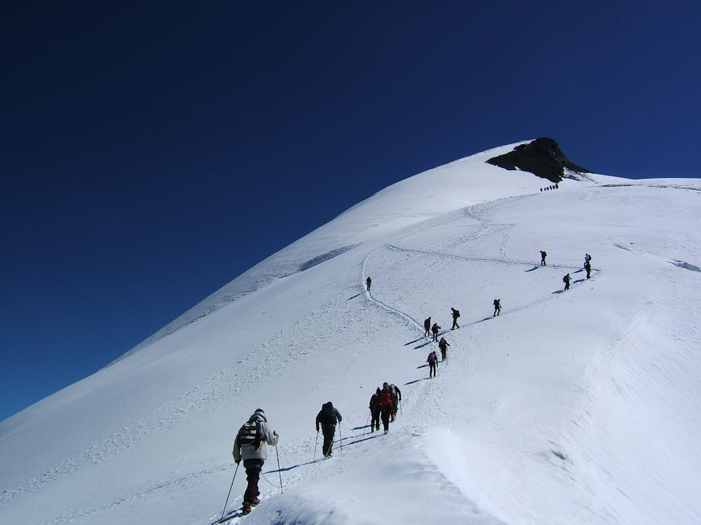
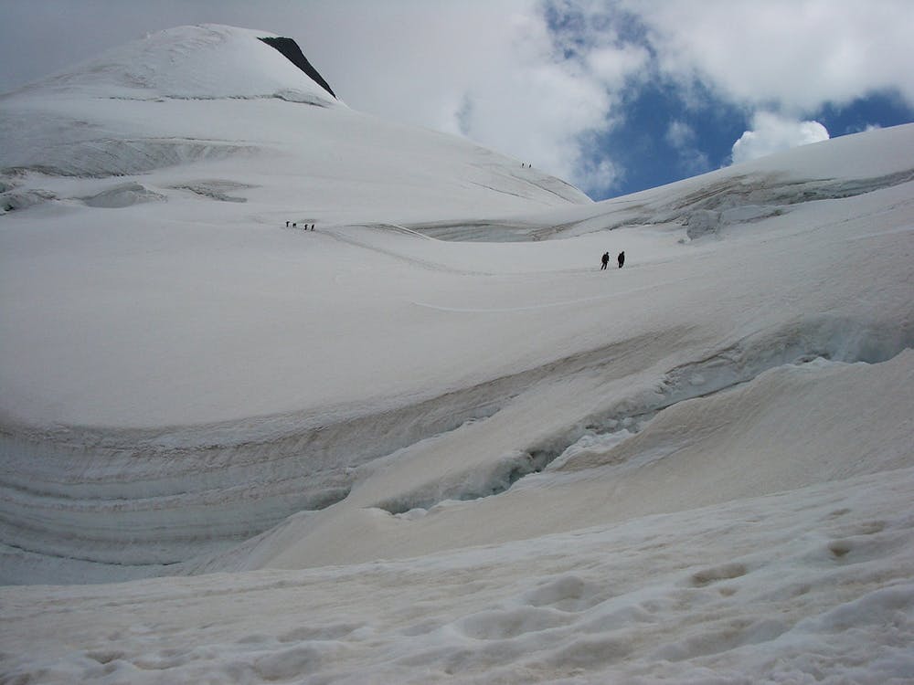
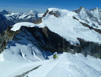
As you leave the hut in the morning you will be with a large number of others, who will mainly be going to the Alphubel. Ski down from the hut diagonally onto the flat glacier below, then slowly make your way up the glacier, taking care not to miss the turning left, heading S to the slightly steeper skin up the Fluchthorn.
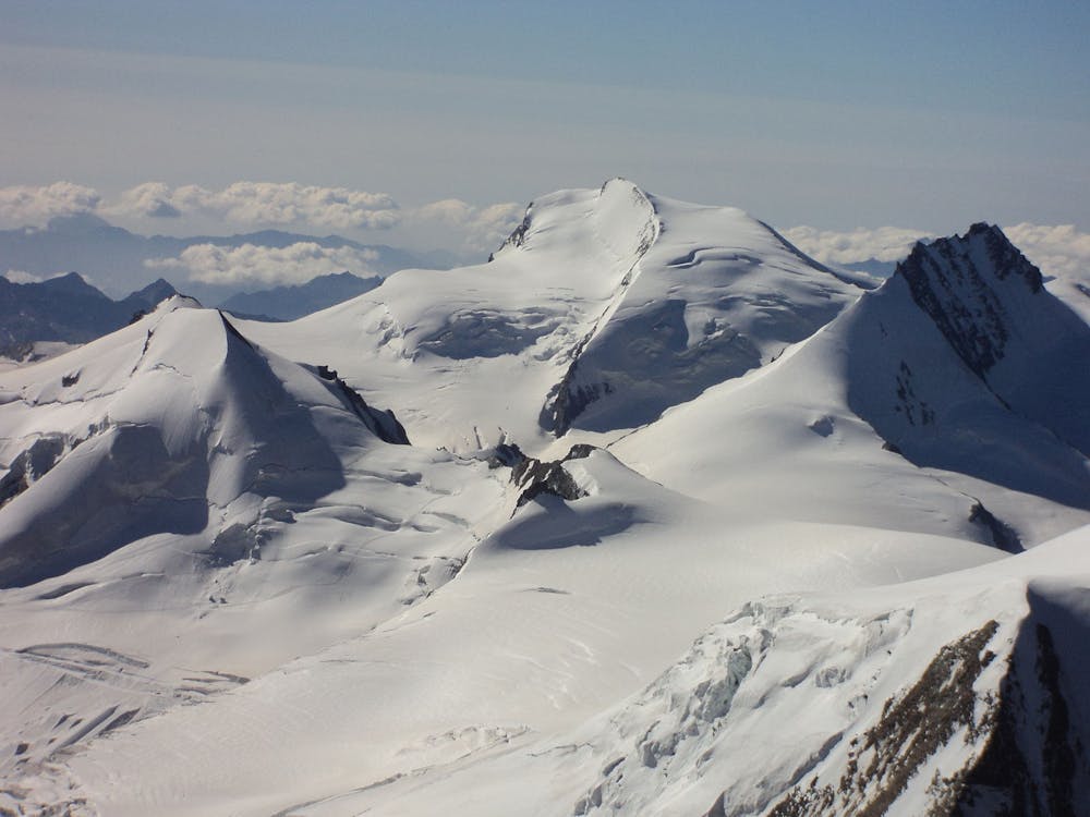
You leave this main Alphubel track roughly at the foot of the steep cliff that drops down from the summit of the Allalinhorn, where you may have been a few days earlier. The broad glacial ascent is relatively non-technical, approaching the summit from the W. It gives brilliant views of the Strahlhorn, which hopefully you will be doing the following day, as well as the Allalinhorn, Rimpfischhorn and Monte Rosa. The ski down is the reverse of your ascent route, with a final sting-in-the-tail short skin back to the Britannia Hut.
Moderate
Slopes become slightly steeper at around 25-30 degrees.

As well as the slope itself, there are some obstacles (such as rock outcrops) which could aggravate injury.

Little chance of being seen or helped in case of an accident.
1.1 km away
A long journey to a watershed peak between the Saas and Zermatt valleys, with a nearly 3000m descent to finish!
Difficult Ski Touring
2.7 km away
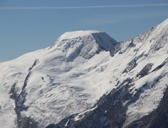
One of the easier 4000m peaks in the Alps
Moderate Ski Touring
2.9 km away
A long but relatively steady ascent up a big remote glacial peak, with great views of the giant Weisshorn nearby.
Severe Ski Touring
3.9 km away
A couple of cols and N facing descents
Difficult Ski Touring
4.2 km away
Traversing this fine and isolated mountain from a beautiful and remote, unguarded mountain hut provides an aesthetic and excellent day.
Difficult Ski Touring
9.5 km away
A complicated and isolated glacial peak with amazing views.
Severe Ski Touring

50 routes · Freeride Skiing · Ski Touring

6 routes · Ski Touring
16 routes · Ski Touring