1.8 km away
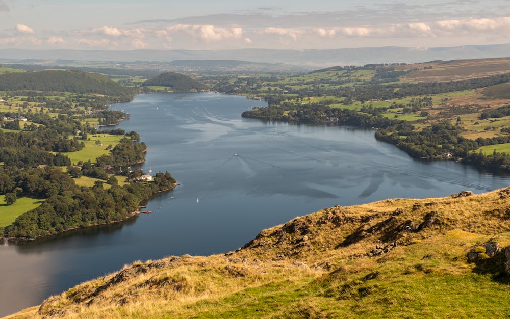
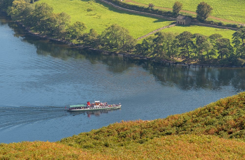
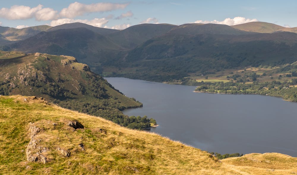
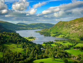
Place Fell and Ullswater
Place Fell rises alone, a hub-like point at the centre of a great arc of mountains running from Helvellyn and the Dodds to the High Street range.
Difficult Hiking
- Distance
- 12 km
- Ascent
- 629 m
- Descent
- 679 m
With a high start and a low summit this likeable mini fell must be one of the easiest ascents in the Lake District, by its standard route.
Hiking Moderate
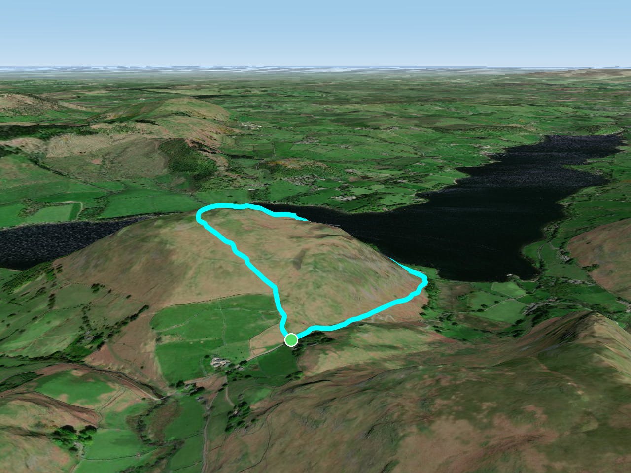
With a high start and a low summit this likeable mini fell must be one of the easiest ascents in the Lake District, by its standard route. It's very family friendly, but for minimal effort you still get a big view out over Ullswater, with the High Street and Helvellyn hills ranged across the skyline. A steeper variation on the descent adds some modest challenge to the walk.
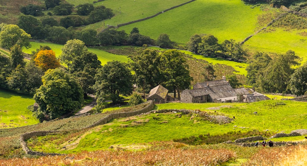
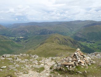
Cross the road and go northwest up the obvious grassy path, at first beside a drystone wall and then over open hillside. It's a steady climb onto the knobbly fell top. On the high point is an impressive obelisk cairn, a big construction for such a wee hill.
Head roughly northeast. The main path soon swings rightwards to complete a quick loop back to the car park, but to add a little extra time out go straight on here, on a less well-defined trail. At a steep headland directly overlooking Ullswater the path cuts left, descending a steep grass slope below a line of small rock outcrops to reach the busy path at the foot of the fell.
Turn right onto the main path, following a field boundary around the base of Hallin Fell. It's soon possible to pop down to the shoreline of Ullswater (nice gravel beaches here); otherwise, stay with the path for the steady climb above the road, back up to the car park on top of the pass.
© Dan Bailey - UKHillwalking.com, June 2014
Moderate
Hiking along trails with some uneven terrain and small hills. Small rocks and roots may be present.
1.8 km away
Place Fell rises alone, a hub-like point at the centre of a great arc of mountains running from Helvellyn and the Dodds to the High Street range.
Difficult Hiking
6.3 km away
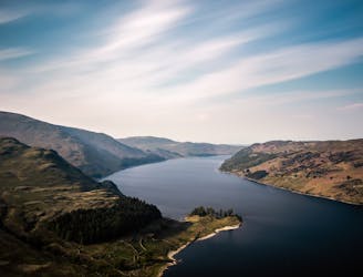
The Ullswater Way connects shoreline paths, woodland trails, fast land and popular lakeside villages to loop around Ullswater lake in the Lake District.
Moderate Hiking
8.4 km away
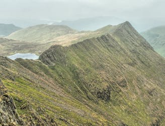
Overwhelming popularity cannot diminish the spectacular class of England’s finest ridge walking horseshoe, a circuit of the chiseled crests cupping the Red Tarn cove.
Severe Hiking
9.1 km away
People have walked High Street for thousands of years, and they'll probably be doing so for generations to come.
Difficult Hiking

7 routes · Hiking