1.8 km away
Hallin Fell
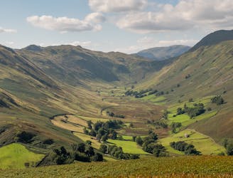
With a high start and a low summit this likeable mini fell must be one of the easiest ascents in the Lake District, by its standard route.
Moderate Hiking
- Distance
- 2.7 km
- Ascent
- 220 m
- Descent
- 220 m

Place Fell rises alone, a hub-like point at the centre of a great arc of mountains running from Helvellyn and the Dodds to the High Street range.
Hiking Difficult

Place Fell is a fairly small fell, but the summit views are classic Lakeland. From Place Fell’s foot the ribbon length of Ullswater stretches out towards the farmland of the Eden Valley. Like Cameron and Clegg, the lake and its hill make a natural double act; but this is one pair that no one could disagree with. From Sandwick to Patterdale, Ullswater’s east shore offers one of the most idyllic stretches of waterside walking in England, snaking through birch woods where Place Fell drops steep and craggy into the clear water of the lake. For several kilometres there are no roads or houses, and civilisation is only occasionally glimpsed over on the far shore. This is one of those hill approaches that are at least as memorable as the climb it leads to. And it’s quite a climb, with a relentless slog onto Boredale Hause and more of the same from there to the summit. I said Place Fell was wee, but you have to earn every metre.
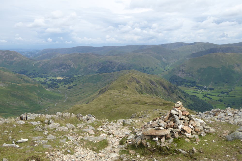
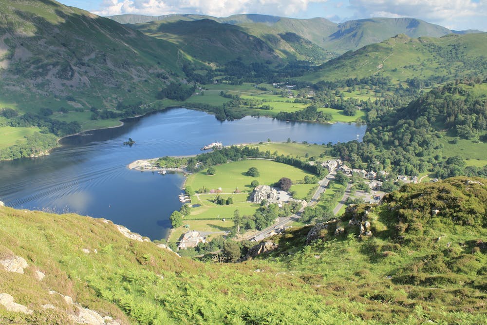
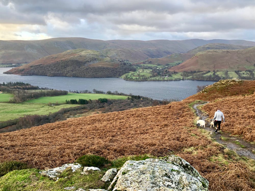
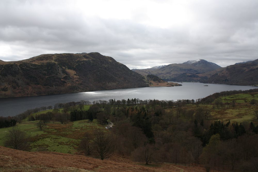
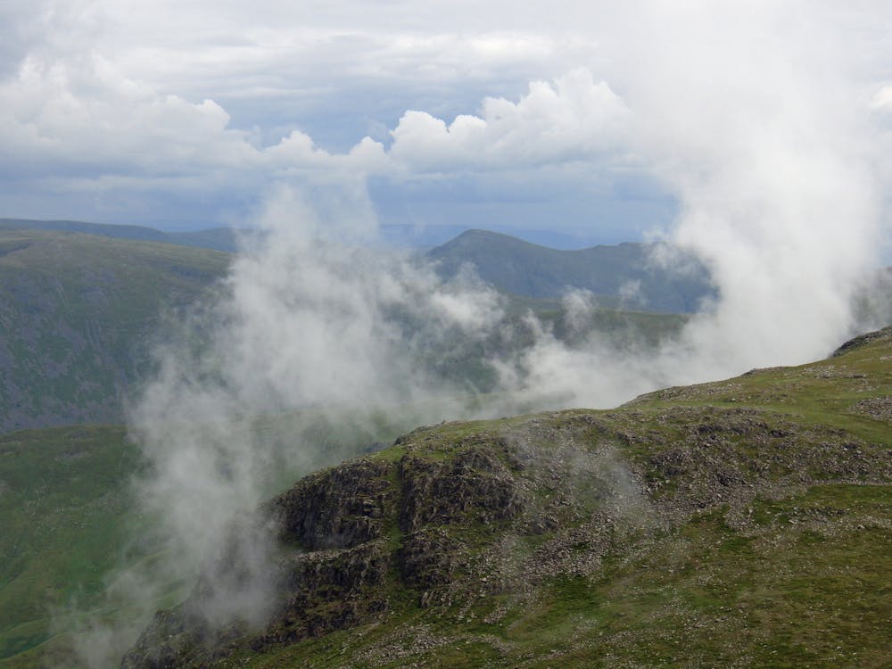
From the houses at Sandwick take the obvious path slightly uphill. This runs alongside a wall, passing a stone barn and crossing a small stream to reach Scalehow Beck - up in the trees is quite an impressive waterfall. The path now runs under the steep flank of Kilbert How to meet the wooded lack shore. Follow this to make a short climb onto a craggy headland with a view along Ullswater to the Helvellyn fells.
Stay with the shore path as it wiggles through more birch woods and craggy bits. Approaching Silver Point the woods open out and there's a choice of path, a high road and a low road. The former has some unnecessary ascent though in its favour it does give access to an alternative slightly more exclusive way up Place Fell. But since the lake side is still very pretty and there's plenty of ascent to come shortly, I'd stick with the low road. This soon climbs over a little headland, becoming more of a farm track than a footpath as it passes a campsite to reach Side Farm and then a cluster of houses at Rooking.
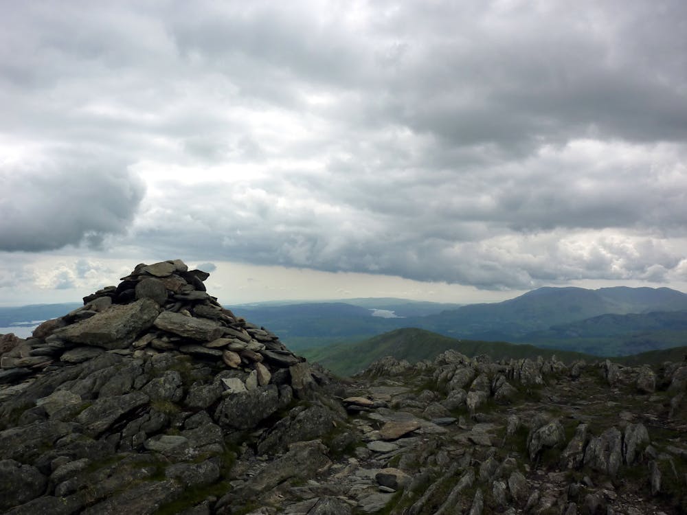
Here go left through a gate to take the steep hill path onto the big grassy saddle of Boredale Hause. It's quite a slog, but worth it for the opening the view of the Helvellyn massif and along the upper stretch of Patterdale towards the Kirkstone Pass. At Boredale Hause cut left onto an engineered path - it's easy gravel underfoot but pretty steep in parts. Near the top a short rocky groove leads onto the little summit of Round How. Here the angle relents and Place Fell's highest knobble is just a short stroll away.
Descend roughly northeast on a peaty path, past a tiny pool and along a vague ridge. At the boggy col under High Dodd there is a choice of trails. All roads lead to Rome (or the next best thing, Sandwick). I like the left hand path which drops into the little grassy valley at the top of Scalehow Beck. Here you can descend quite close to the waterfall, or bear right through some old quarry scratchings to pick up an easy grassy trail some way east of the beck. Either way you end up at the small stream mentioned in stage 1. Now just follow your nose back along the wall-side path to Sandwick.
© Dan Bailey - UKHillwalking.com, Nov 2011
Difficult
Hiking trails where obstacles such as rocks or roots are prevalent. Some obstacles can require care to step over or around. At times, the trail can be worn and eroded. The grade of the trail is generally quite steep, and can often lead to strenuous hiking.
1.8 km away

With a high start and a low summit this likeable mini fell must be one of the easiest ascents in the Lake District, by its standard route.
Moderate Hiking
6.8 km away
Overwhelming popularity cannot diminish the spectacular class of England’s finest ridge walking horseshoe, a circuit of the chiseled crests cupping the Red Tarn cove.
Severe Hiking
7.4 km away
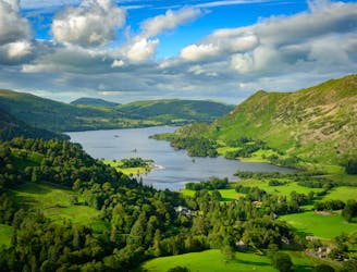
The Ullswater Way connects shoreline paths, woodland trails, fast land and popular lakeside villages to loop around Ullswater lake in the Lake District.
Moderate Hiking
9.9 km away
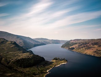
People have walked High Street for thousands of years, and they'll probably be doing so for generations to come.
Difficult Hiking
7 routes · Hiking