559 m away
The Eskdale Round
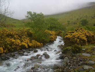
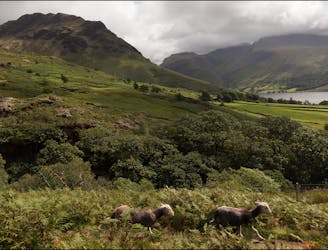
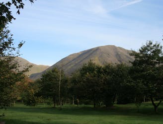
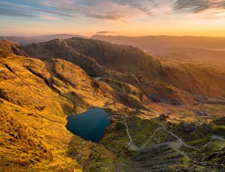
Taking in the major fells that ring the head of Eskdale, this round includes many of the highest, most interesting and most popular peaks in England, allowing the walker to fully enjoy this wonderful corner of the Lake District.
Severe Hiking
- Distance
- 22 km
- Ascent
- 1.7 km
- Descent
- 1.7 km