382 m away
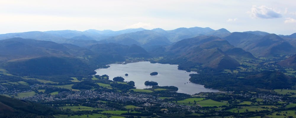
Borrowdale Bash
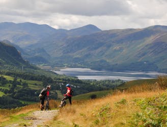
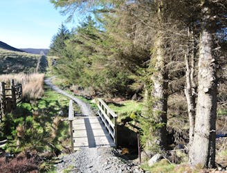
A popular all-weather loop from Keswick with great views of the beautiful Borrowdale valley and fun technical descents.
Difficult Mountain Biking
- Distance
- 28 km
- Ascent
- 870 m
- Descent
- 871 m
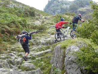
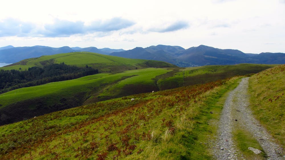
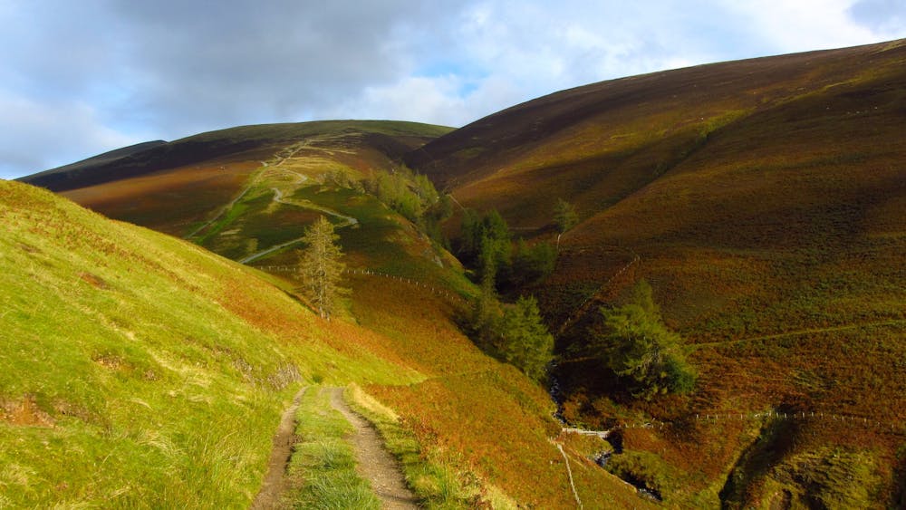
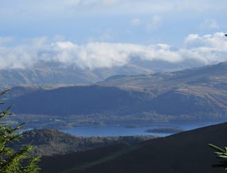
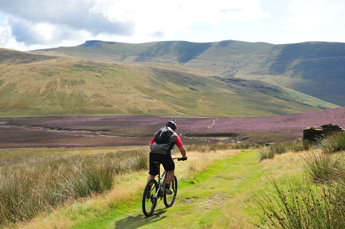
A steep ride, carry and push from Keswick to the top of one of the highest legally rideable fells in the Lakes, followed by a fast, loose and wild descent back to town! Not for beginners!
Mountain Biking Severe

Determined riders might just about ride the bridleway that leads around the side of Lattrig at the start of this ride, but from here it's a long push or carry uphill which will take most mortals at least 2 hours. The views from the top are stunning though and once you've recovered from the uphill slog, it's a fast and crazy descent back to Keswick, retracing your steps from the climb. Steep, rocky, rutted, loose, gnarly, uncontrollably fast and at times scary, adrenaline levels will be peaking if you can manage to stay on all the way down! This is not a ride to do on a busy summer weekend, when you'll be sharing the path with hundreds of walkers.
Severe
Widely variable, narrow trail tread with steeper grades and unavoidable obstacles of 15in/38cm tall or less. Obstacles may include unavoidable bridges 24in/61cm wide or less, large rocks, gravel, difficult root sections, and more. Ideal for advanced-level riders.
382 m away
A popular all-weather loop from Keswick with great views of the beautiful Borrowdale valley and fun technical descents.
Difficult Mountain Biking
639 m away
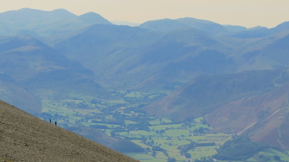
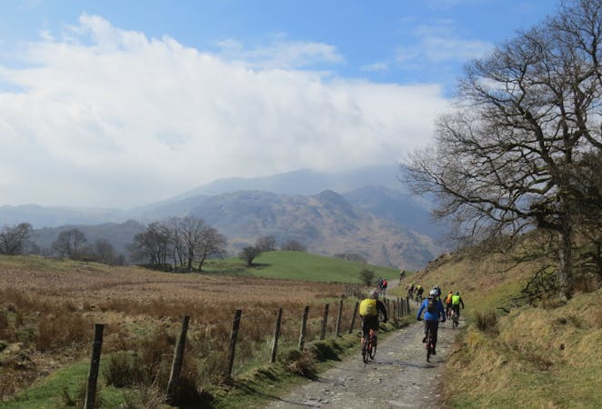
A big wild-feeling loop which can be ridden in either direction from Keswick.
Difficult Mountain Biking
642 m away
A short but sweet loop from Keswick heading out to Threlkeld and back via some great singletrack skirting Lonscale Fell and a fast descent from Lattrig back into town.
Difficult Mountain Biking
6 km away
A Forestry Commission purpose-built Mountain BIke Trail with plenty of flowing berms, rolling jumps, steady climbs and optional technical features.
Moderate Mountain Biking
6 km away
An exhilarating purpose-built singletrack trail with steep climbs, huge berms, jumps, fantastic descending and optional technical features.
Difficult Mountain Biking
6.2 km away
A big day out for those that don't mind carrying bikes uphill for the reward of technically challenging rocky descents.
Extreme Mountain Biking
7.6 km away
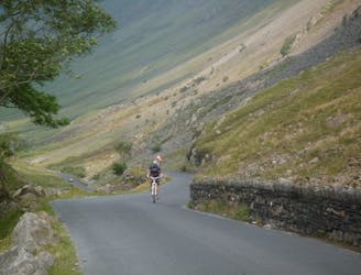
A big day out with a tough climb up to Helvellyn, a ridge-top adventure crossing the Dodds, fast grassy singletrack, and the great descent of the Old Coach Road to St John's in the Vale.
Severe Mountain Biking
10 routes · Mountain Biking
7 routes · Mountain Biking