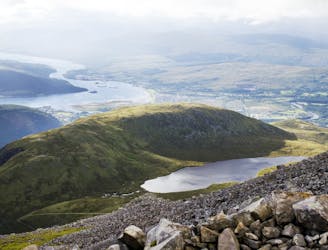
3.3 km away
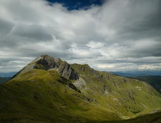
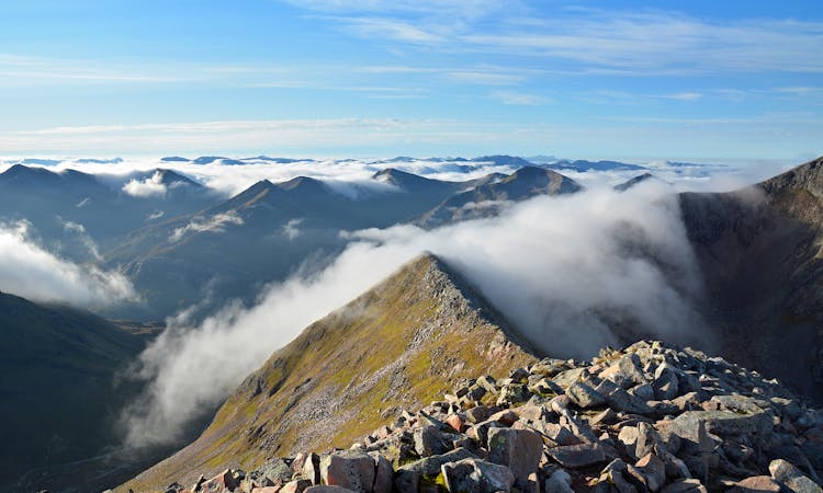
Ben Nevis via the CMD Arete
A contender for the title of grandest ridge walk in the country, the Carn Mor Dearg (CMD) Arete straddles that fine line between rambling and scrambling.
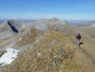
Extreme Hiking
- Distance
- 23 km
- Ascent
- 1.6 km
- Descent
- 2.2 km