3 km away
Scottish 4000ers: Lochaber (Part 1 / 3)
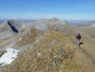
A fine trail or hiking loop taking in some of the highest peaks the UK has to offer
Difficult Hiking
- Distance
- 21 km
- Ascent
- 2 km
- Descent
- 1.9 km
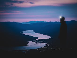
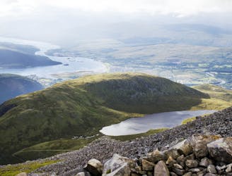
A beautiful approach with the Grandeur of Ben Nevis gradually being revealed.
Hiking Moderate

This is a popular hiking route which is generally considered to be moderate. It's remote, it features medium exposure and is typically done all year round. From a low point of 55 m to the maximum altitude of 680 m, the route covers 6 km, 630 vertical metres of ascent and 5 vertical metres of descent.
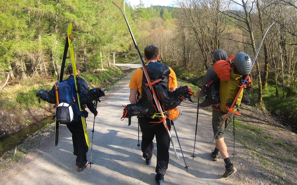
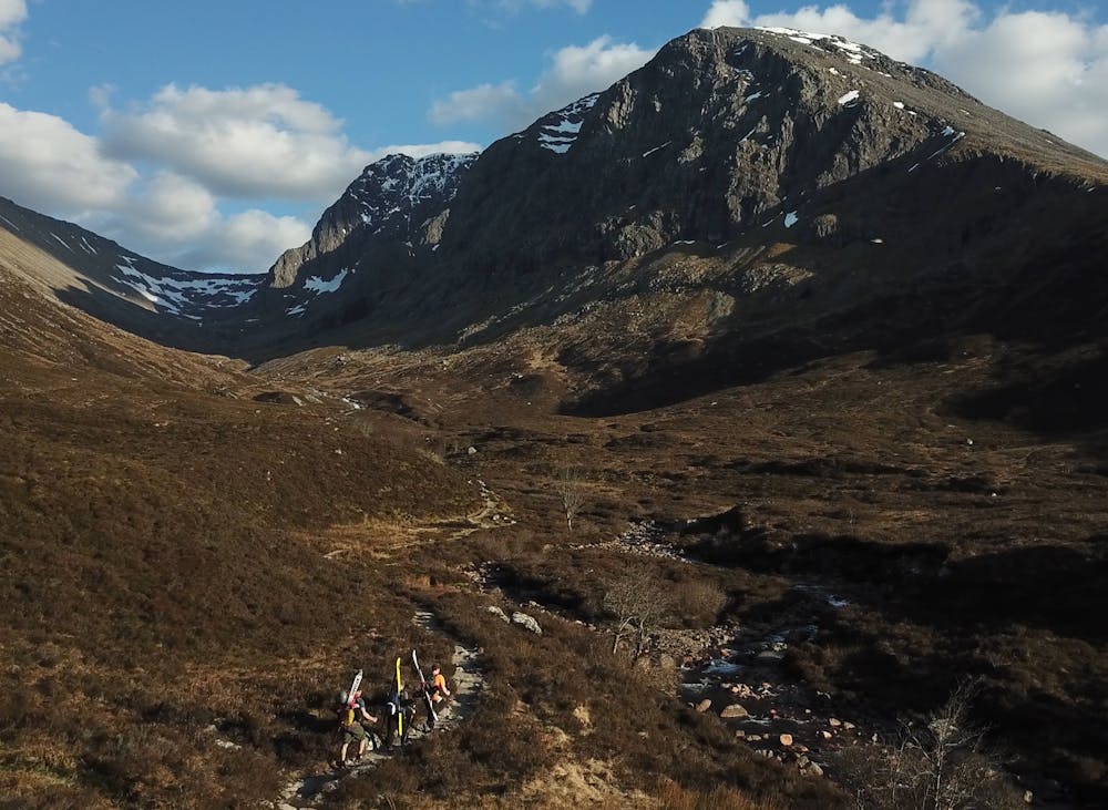
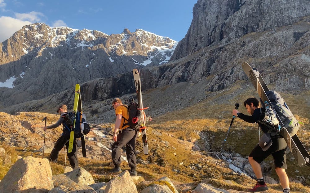
From forested trails to riverside paths, this beautiful hike takes you above the trees and to the bottom of the legendary north face of Ben Nevis.
Moderate
Hiking along trails with some uneven terrain and small hills. Small rocks and roots may be present.

The trail contains some obstacles such as outcroppings and rock which could cause injury.
Away from help but easily accessed.
3 km away
A fine trail or hiking loop taking in some of the highest peaks the UK has to offer
Difficult Hiking
4 km away
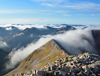
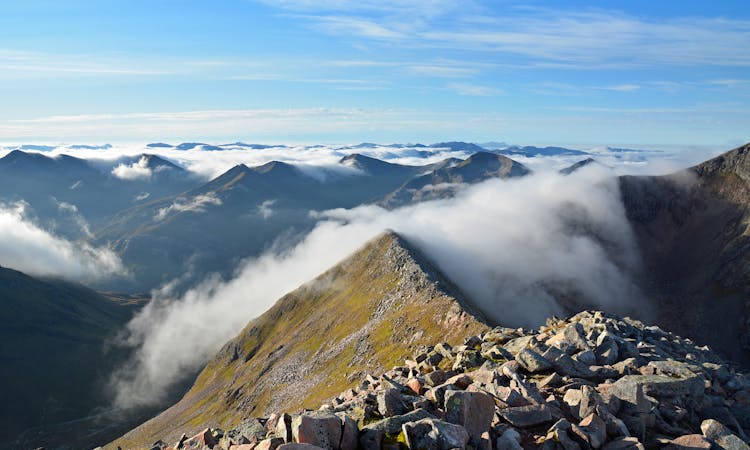
A contender for the title of grandest ridge walk in the country, the Carn Mor Dearg (CMD) Arete straddles that fine line between rambling and scrambling.
Extreme Hiking
4 km away
The classic route up the UK's highest mountain
Difficult Hiking
7.6 km away
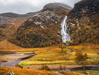
A short trip to one of the Glen Nevis natural wonders
Moderate Hiking
8 km away
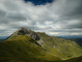
A shorter, easier alternative to the neighbouring Ring of Steall - but no less worthwhile.
Extreme Hiking
8.6 km away
A long and challenging classic ridge walk with a feeling of remoteness.
Extreme Hiking
8 routes · Hiking

18 routes · Alpine Climbing · Hiking