1.7 km away
Ben Nevis Mountain Track
The classic route up the UK's highest mountain
Difficult Hiking
- Distance
- 16 km
- Ascent
- 1.3 km
- Descent
- 1.3 km
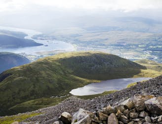
This hike offers spectacular views of Ben Nevis and other neighbouring peaks.
Hiking Moderate
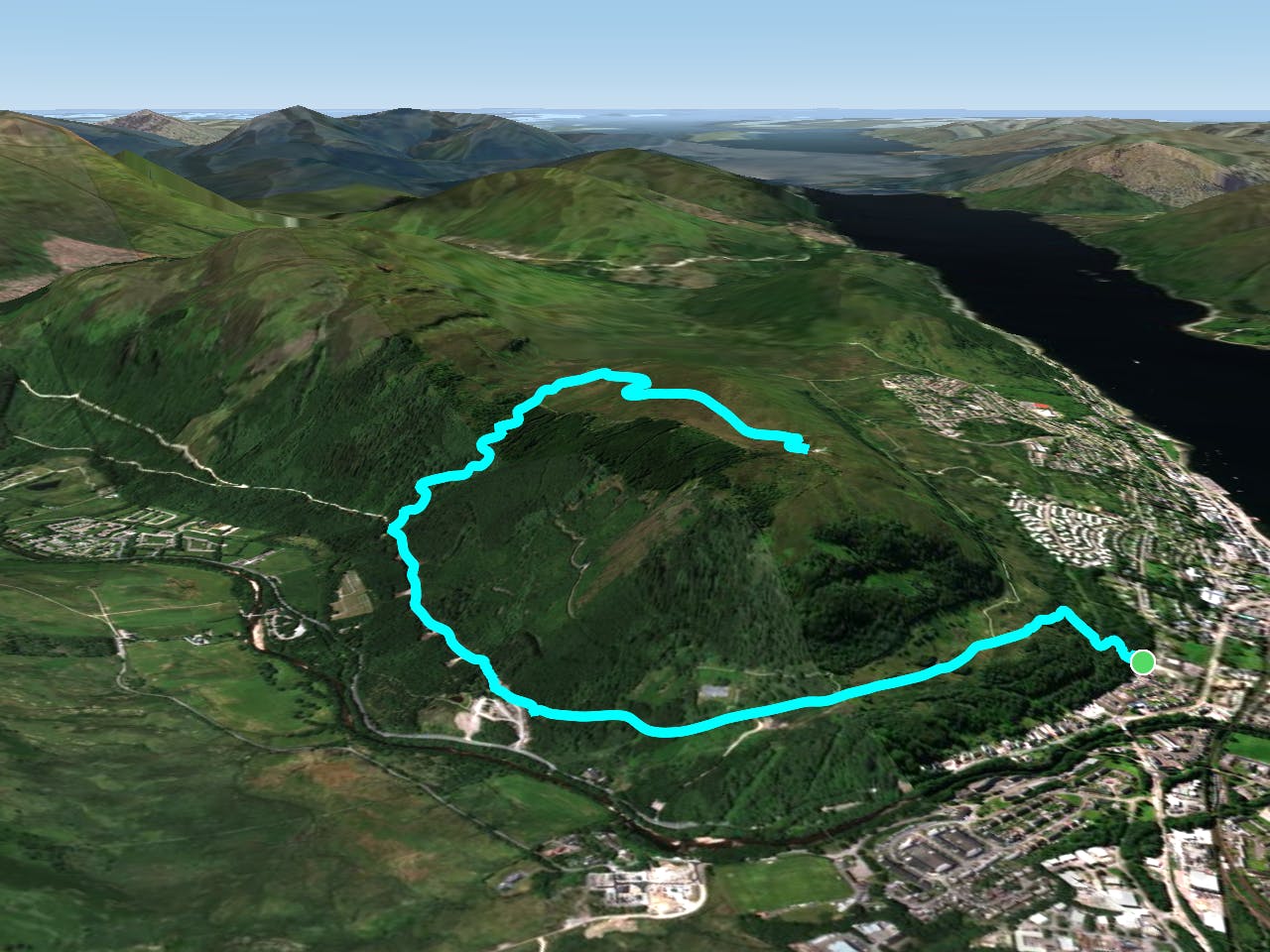
Cow Hill blocks the view of Ben Nevis from Fort William village centre so it is an annoyance to most tourists, but a great viewpoint for those who make the effort to climb it!
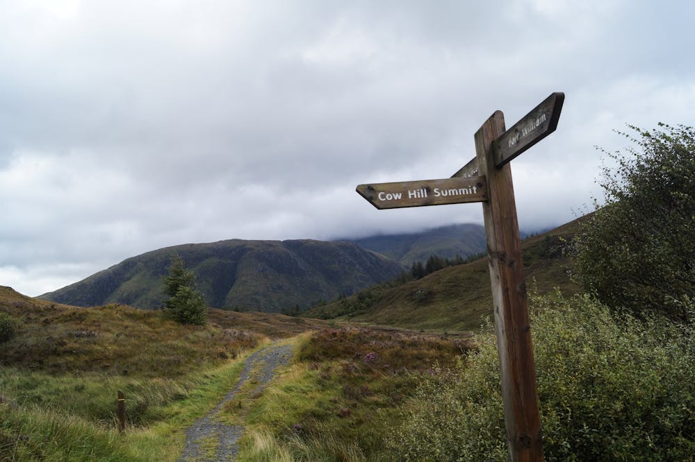
You can begin this hike from anywhere in Fort William but we've drawn it from the edge of town, where the path enters a forest. there are numerous paths around so just keep an eye on FATMAP to make sure you're on the correct one. The path climbs - steeply at times - and the views improve with every step.
Eventually you'll emerge onto the blunt ridge which leads easily onto the summit. Soak in the massive panorama across Fort William and its surrounding scenery, as well as the mighty Ben Nevis itself.
Descend by the same route.
Moderate
Hiking along trails with some uneven terrain and small hills. Small rocks and roots may be present.

The path is on completely flat land and potential injury is limited to falling over.

Away from help but easily accessed.
1.7 km away
The classic route up the UK's highest mountain
Difficult Hiking
4.1 km away
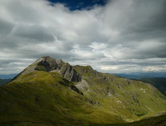
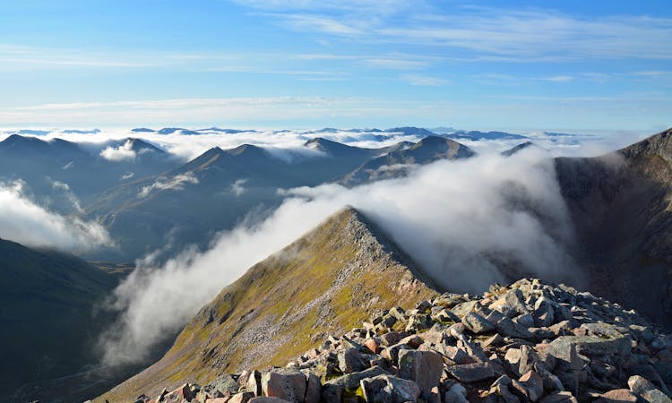
A contender for the title of grandest ridge walk in the country, the Carn Mor Dearg (CMD) Arete straddles that fine line between rambling and scrambling.
Extreme Hiking
6.8 km away
A shorter, easier alternative to the neighbouring Ring of Steall - but no less worthwhile.
Extreme Hiking
7 km away
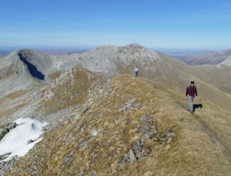
A fine trail or hiking loop taking in some of the highest peaks the UK has to offer
Difficult Hiking
7.6 km away
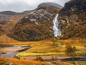
A short trip to one of the Glen Nevis natural wonders
Moderate Hiking
9.3 km away
A long and challenging classic ridge walk with a feeling of remoteness.
Extreme Hiking
8 routes · Hiking

18 routes · Alpine Climbing · Hiking