27 m away
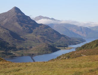
Steall Falls
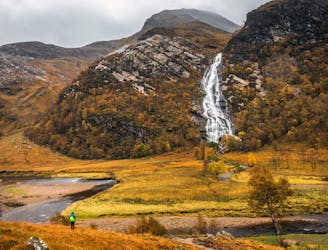
A short trip to one of the Glen Nevis natural wonders
Moderate Hiking
- Distance
- 3.3 km
- Ascent
- 141 m
- Descent
- 141 m
Sitting right at the end of Glen Nevis, Tigh an Steill is perhaps the most popular day hike in the region.
Hiking Moderate

It starts at a large (and often busy!) carpark and is clearly signposted, along with more distant objectives such as Corrour Station and Kinlockleven.
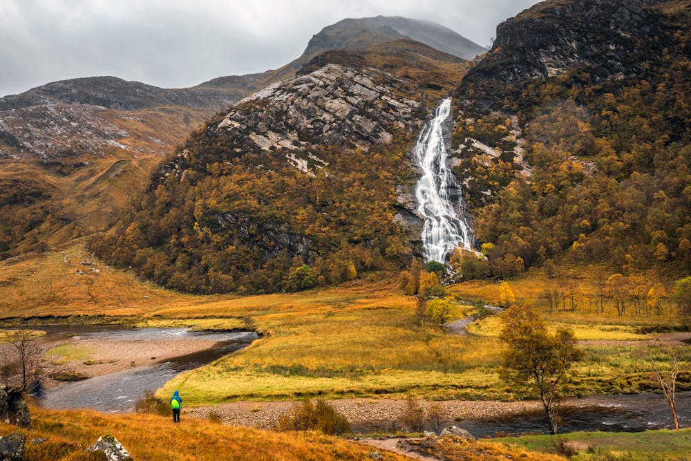
The trail is generally quite rough and rocky, but always clear and easy to follow. Initially the route passes through forests but it quickly emerges out into the wide and open valley which houses the falls. Once in the main valley the falls are immediately visible, assuming the weather is good. Head straight towards them!
Having got as close as you can (which is a point on the path where it bends left and crosses the river beneath the falls), admire all 105 metres of the falls. They're the 3rd highest falls in Scotland and they can look even bigger when water levels are high!
Retrace your steps back to the car or - if you're looking for a challenge - continue up the Glen to one of the Munros that tower above it.
Moderate
Hiking along trails with some uneven terrain and small hills. Small rocks and roots may be present.

The trail contains some obstacles such as outcroppings and rock which could cause injury.

Little chance of being seen or helped in case of an accident.
27 m away
A short trip to one of the Glen Nevis natural wonders
Moderate Hiking
1.9 km away
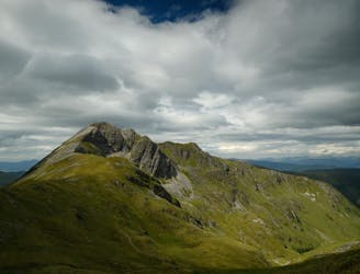
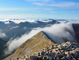
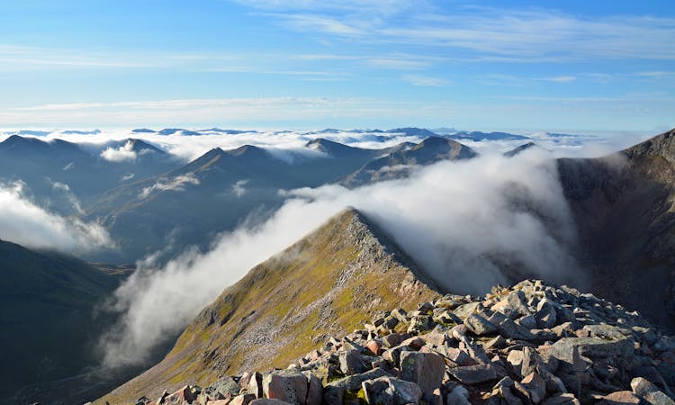
A long and challenging classic ridge walk with a feeling of remoteness.
Extreme Hiking
2.4 km away
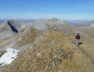
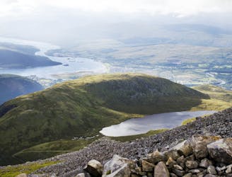
A shorter, easier alternative to the neighbouring Ring of Steall - but no less worthwhile.
Extreme Hiking
3.9 km away
A contender for the title of grandest ridge walk in the country, the Carn Mor Dearg (CMD) Arete straddles that fine line between rambling and scrambling.
Extreme Hiking
5.9 km away
The classic route up the UK's highest mountain
Difficult Hiking
7.4 km away
This final stage of the route nicely rounds off the WHW, running from the attractive wooded shores of Loch Leven and over the desolate high pass of the Lairig Mor beneath the southern flank of the Mamores.
Moderate Hiking
8.3 km away
A fine trail or hiking loop taking in some of the highest peaks the UK has to offer
Difficult Hiking
8 routes · Hiking

18 routes · Alpine Climbing · Hiking