631 m away
Fairy Glen
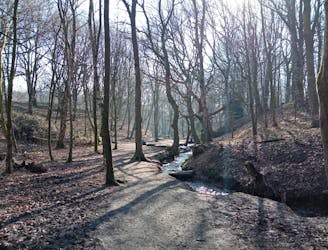
An enchanting walk through enchanted woods!
Moderate Hiking
- Distance
- 1.7 km
- Ascent
- 36 m
- Descent
- 37 m
Link 2 of West Lancashire's landmark hills and cross the Leeds-Liverpool Canal.
Hiking Moderate

Traversing between 2 local landmarks and crossing one of the most historical waterways in England, this is a great half day hike which is suitable for the whole family.
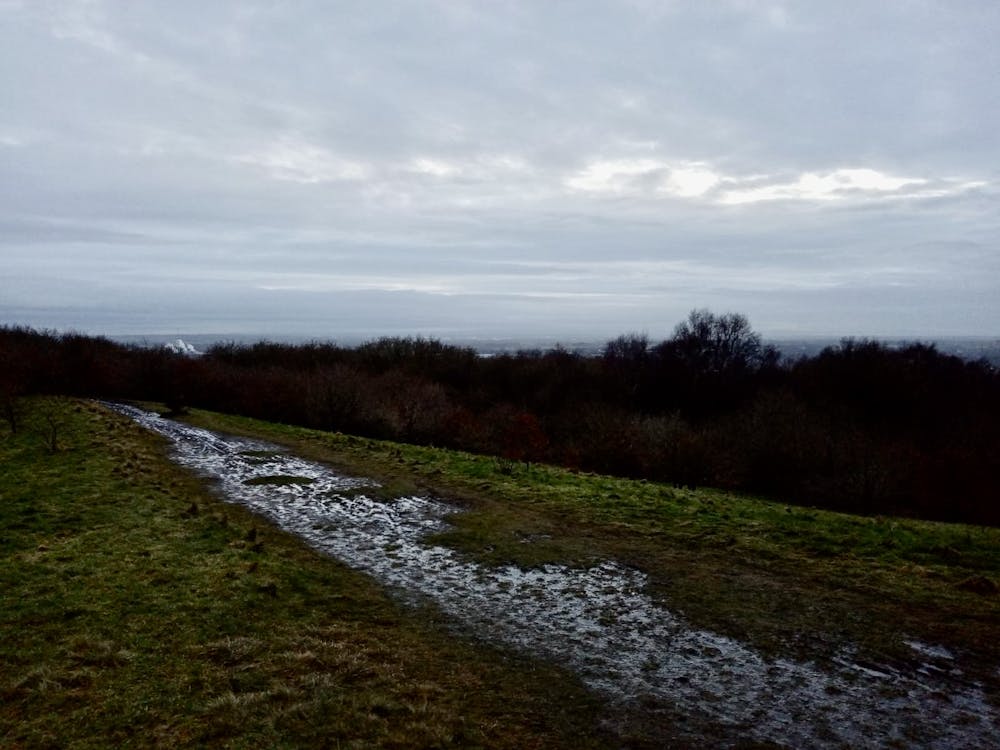
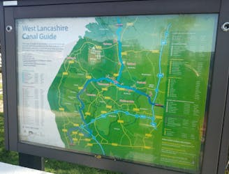
Park up at the top of Parbold Hill where, come rain or shine, there's usually an ice cream van parked up! The view from the parking area is excellent, and there's an orientation board there explaining what you're looking at. Ashurst's Beacon (sometimes called "Dalton Beacon") is clearly labelled and visible so you can see where you're headed for.
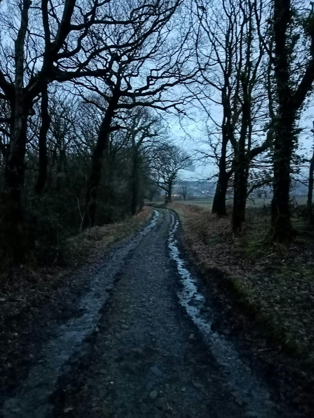
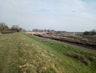
Drop due south off Parbold hill and follow a path through trees down past Parbold Quarry (which is home to a couple of decent climbing routes) and down again to the Leeds-Liverpool canal. Once a key part of northern England's industrial might, the canal is now used almost exclusively for pleasure boating. When crossing the canal, take a minute to consider who and what might have passed the very spot on which you're standing - and what a mammoth task it must have been to dig the entire 127 miles/204 kilometres by hand. In total it took half a century to construct the entire canal.
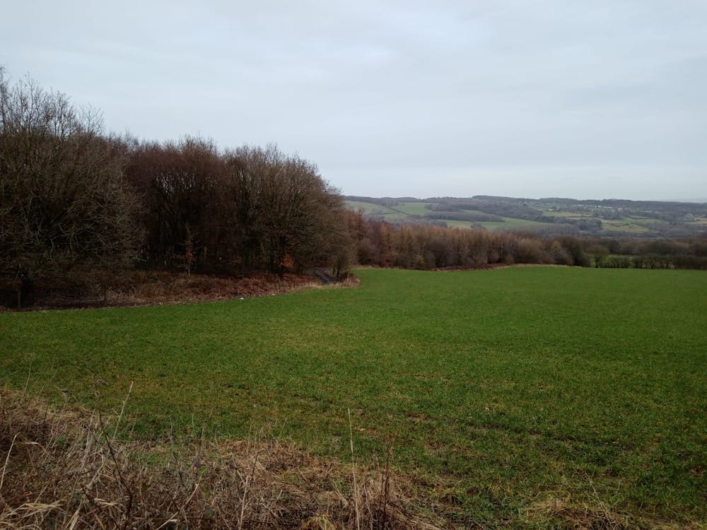
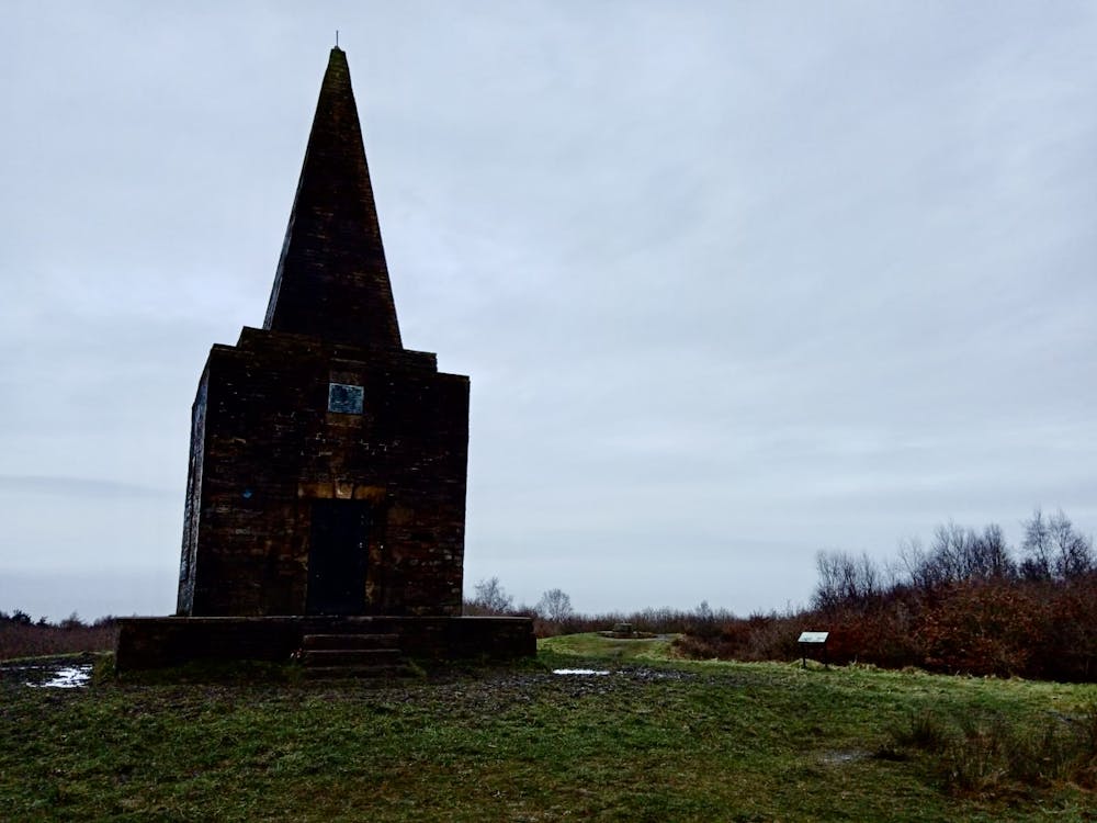
Once on the far side of the canal begin climbing up quiet paths which dip in and out of woods as they take you up onto the summit of Ashurst's Beacon. The top is fairly unmistakable, being marked by a huge stone monument (see photos). The views across the Lancashire plains are barren and wonderful.
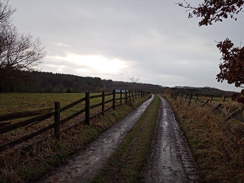
Drop south from the Beacon and walk briefly on roads before linking a series of paths down through woods and past quiet farms all the way back to the canal. Turn left and follow the canal easily back to the bridge you initially crossed it via, and return back up to the top of Parbold Hill for an ice cream!
Moderate
Hiking along trails with some uneven terrain and small hills. Small rocks and roots may be present.

The trail contains some obstacles such as outcroppings and rock which could cause injury.
Away from help but easily accessed.
631 m away
An enchanting walk through enchanted woods!
Moderate Hiking
1.1 km away
A bucolic stroll through some lovely fields and past some fascinating ruins.
Moderate Hiking
1.8 km away
As easy as hiking gets, this is a peaceful stroll along a famous stretch of water.
Easy Hiking
4.3 km away
A lovely - and remarkably flat - journey alongside rivers and across huge, open plains.
Moderate Hiking
4.6 km away
A huge and beautiful series of flat plains
Moderate Hiking
7 routes · Hiking