1.6 km away
Croston Moss
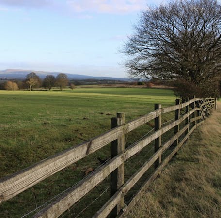
A huge and beautiful series of flat plains
Moderate Hiking
- Distance
- 5.5 km
- Ascent
- 21 m
- Descent
- 21 m
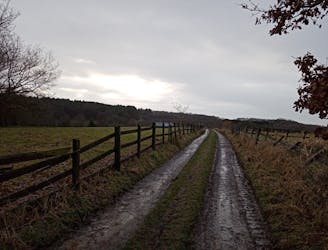
A lovely - and remarkably flat - journey alongside rivers and across huge, open plains.
Hiking Moderate

A wonderful trip through some spacious and - at times - barren scenery, this is a great way to get your fix of fresh air and wilderness.
The trip starts and finishes at the charmingly-named "Owd Barn" farm shop and cafe. Grab a pre and post-hike drink there in return for using their parking facilities! The shop at Own Barn also sells a wide range of superb produce so you're unlikely to resist buying a few extra bits as you wander around.
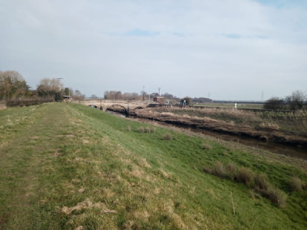
With a coffee in your stomach and a bag of goodies in the car, hike north-west on Rufford Road and after 50 metres turn left and follow a small but clear path across flat fields to a wobbly wooden bridge over the River Douglas. Go to the right of a metal barn on the far side of the river and walk across more fields and then a section of road to reach a path which follows the shore of Eller Brook. The path alongside the Brook is wonderful and although it looks on the map like you're close to civilisation, it feels pleasingly remote.
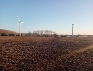
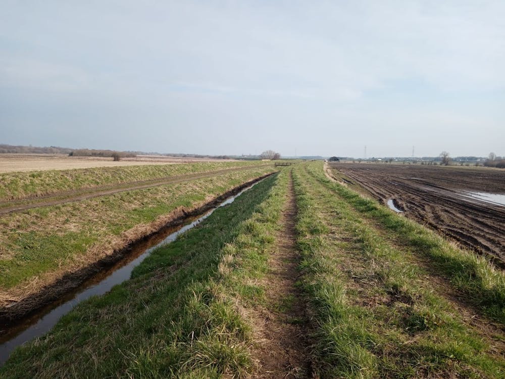
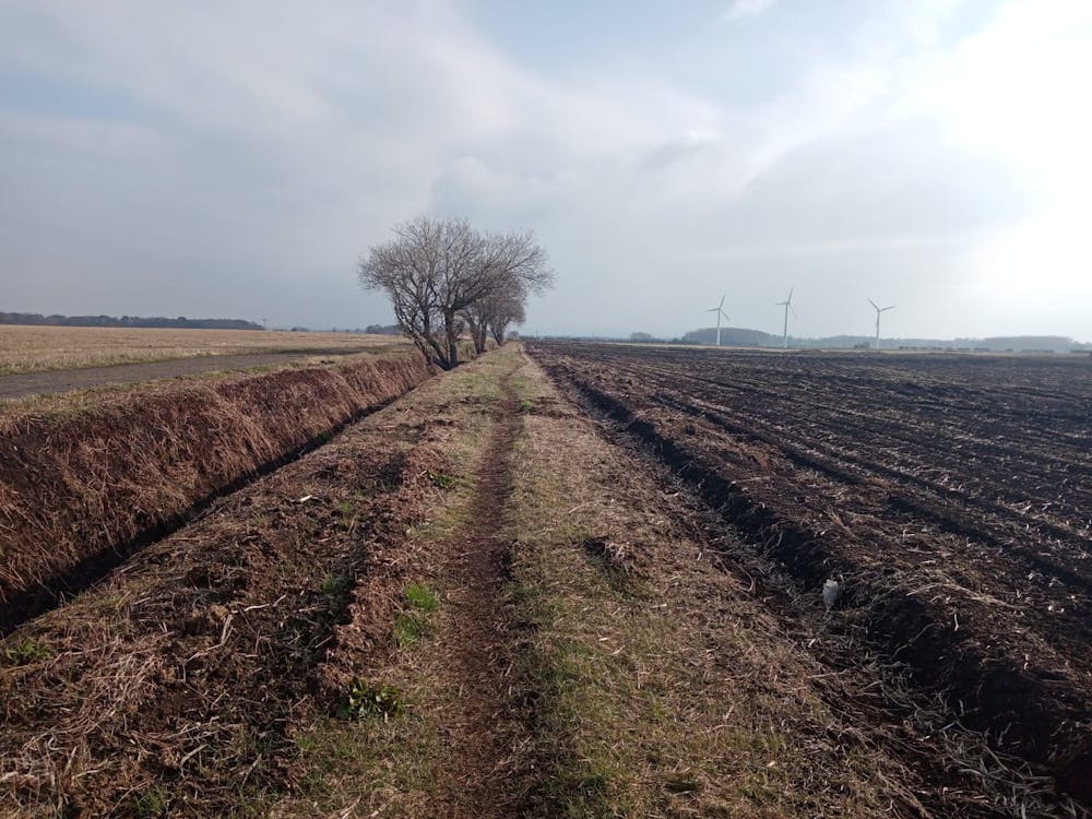
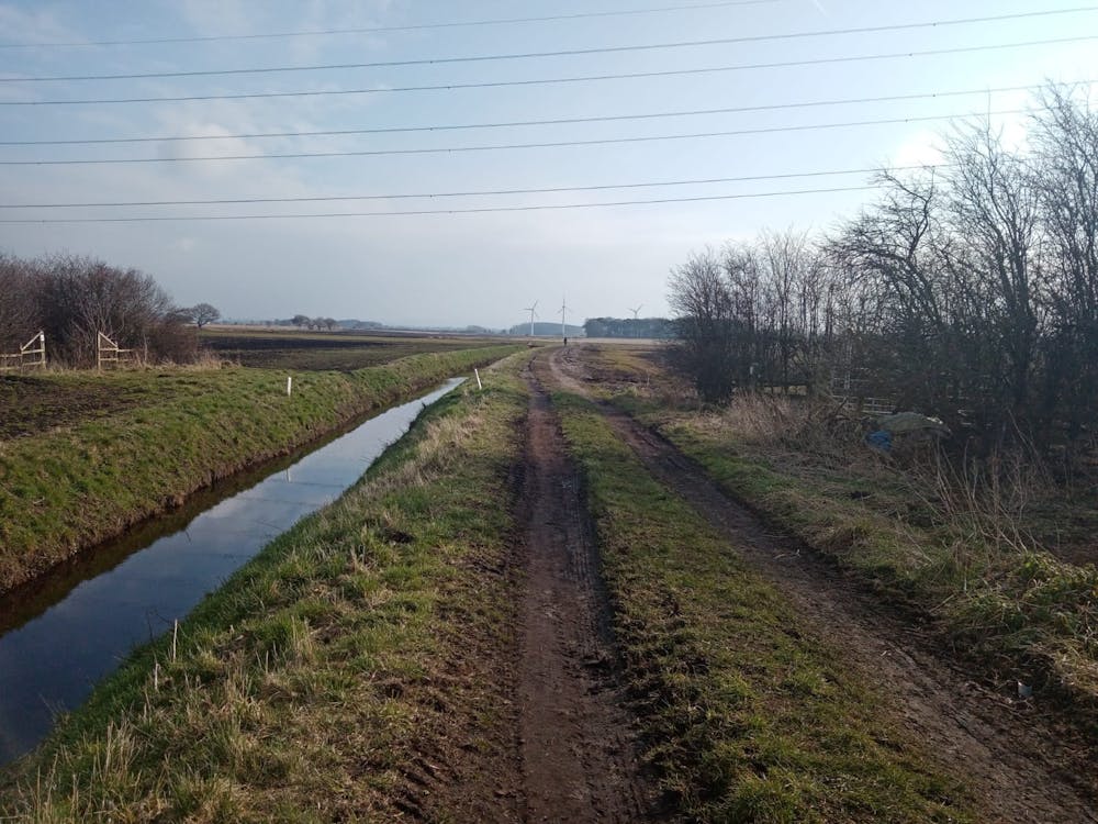
The path leads easily to a stone bridge just to the east of Rufford train station. Go over the bridge and then head north on a jeep track which leads you easily onto Croston Moss. Follow a series of smooth paths alongside small waterways to the main track which splits the moss. Cross over the track and cut across a field to reach a wood right next to the foot of 3 wind turbines. Opinion is divided on the aesthetic merits of the turbines but there's no doubt that they're impressive - and somewhat intimidating - close up.
Keep heading south once past them and then follow the path as it swings southeast to a cluster of houses. Pass through the houses and then follow - in this order - a road, a small path and then a jeep track back to Black Moor Road. Turn right on this and then, 100 metres later, turn left onto Sandy Lane. Follow Sandy Lane south until it reaches Daub Lane.
Turn right on Daub Lane and stroll back to Owd Barn for another coffee and cake!
Moderate
Hiking along trails with some uneven terrain and small hills. Small rocks and roots may be present.

The path is on completely flat land and potential injury is limited to falling over.

Away from help but easily accessed.
1.6 km away
A huge and beautiful series of flat plains
Moderate Hiking
3.4 km away
As easy as hiking gets, this is a peaceful stroll along a famous stretch of water.
Easy Hiking
3.5 km away
A bucolic stroll through some lovely fields and past some fascinating ruins.
Moderate Hiking
4.3 km away
Link 2 of West Lancashire's landmark hills and cross the Leeds-Liverpool Canal.
Moderate Hiking
4.7 km away
An enchanting walk through enchanted woods!
Moderate Hiking
7 routes · Hiking