Douglas Spring Trail to Bridal Wreath Falls
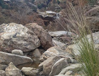
Hike through the foothills beside a rocky ravine, to a waterfall that flows with seasonal rainfall.
Moderate Hiking
- Distance
- 9.5 km
- Ascent
- 337 m
- Descent
- 337 m

A tour of ranching relics and diverse nature, with views over Tucson from the rocky foothills.
Hiking Difficult

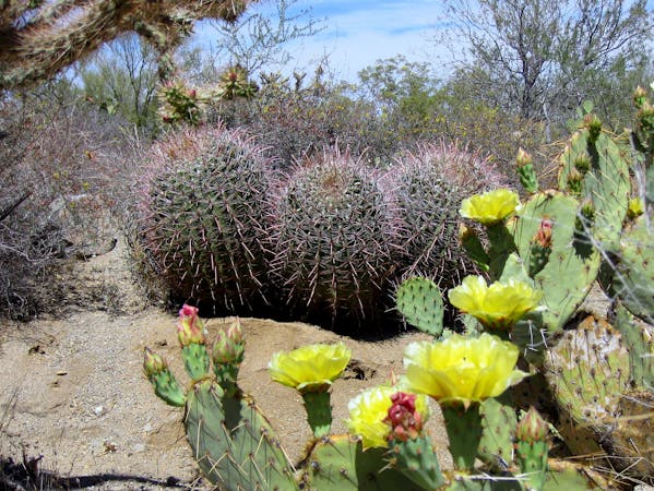
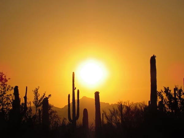
Shortly after leaving the trailhead on Speedway Blvd, Douglas Spring Trail meets a junction with Garwood Trail. Turning south onto the latter, you’ll enter “the kind of cactus forest that inspired the creation of this park,” according to the National Park Service. It's especially diverse and dense––dominated by tall, multi-armed saguaros. The trail moves among the cacti on relatively flat terrain for a while, with just a couple steep but short sections. This all serves as a gentle warm-up, because at the junction with Carillo Trail, the hiking becomes much steeper.
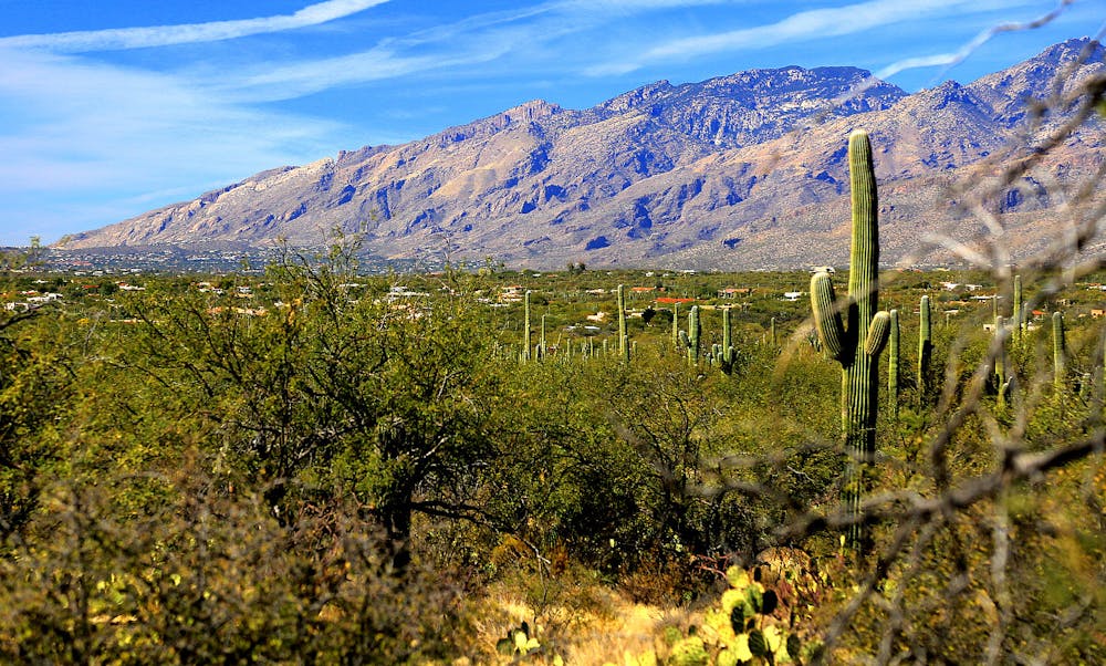
Look up from your feet occasionally to spot remains of the Garwood Ranch, an old homestead site. You can make out building foundations if you look carefully, and you’ll certainly see the Garwood Dam, a concrete wall appearing very out of place in a remote desert ravine. By this point, you can catch some nice views over Tucson as well, but they get better.
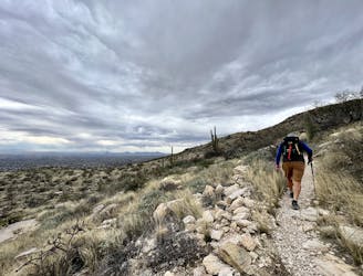
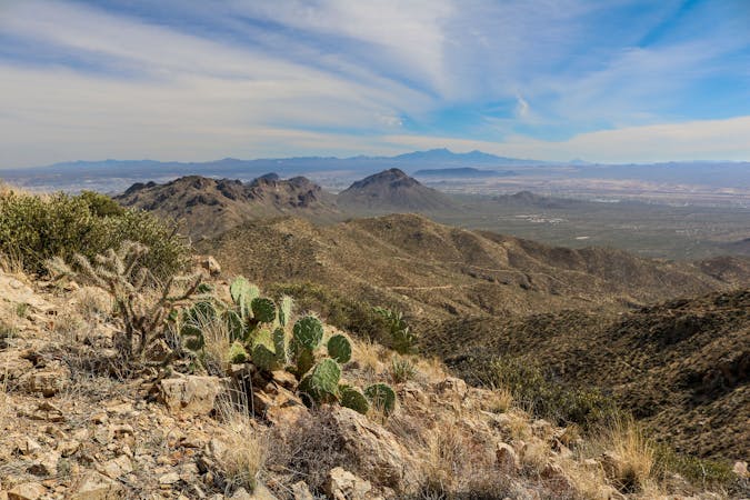
Beyond the dam, the trail gets steeper still, and a series of switchbacks lead up a ridge. On top, the vegetation is less dense, and rock outcrops are numerous, making natural pedestals for enjoying the view over the foothills and the city. From there, Carrillo Trail continues along the ridge, then dips down to meet Wildhorse Trail. An optional side trip on this trail leads steeply up to Wildhorse Tank, a natural pool in a canyon that holds water year-round.
The loop continues on Carrillo Trail, going steadily up into higher elevations, and dipping down to cross washes here and there. In one of these washes, and at the junction with Three Tank Trail, is the steel tank. Another ranching relic, it's a constructed tank that held water piped from a nearby spring. Note that for a longer version of this loop, you can take Three Tank Trail eastward. It eventually meets Douglas Spring Trail near Bridal Wreath Falls. The loop mapped here continues on Carrillo Trail, however, going even higher into the foothills.
Views get better and better of Tucson and the Santa Catalina Mountains, culminating at the high point of the trail around 3500 feet elevation. From there, it’s a steep and rocky descent to Douglas Spring Trail and down. This trail traces a hillside where you’ll catch glimpses into a deep ravine below. Eventually, it meets the flatter terrain at the base of the foothills, and continues through the Cactus Forest to return to the trailhead.
Sources: https://www.nps.gov/sagu/planyourvisit/saguarohiking.htm https://hikearizona.com/decoder.php?ZTN=1460 https://modernhiker.com/hike/garwood-loop/
Difficult
Hiking trails where obstacles such as rocks or roots are prevalent. Some obstacles can require care to step over or around. At times, the trail can be worn and eroded. The grade of the trail is generally quite steep, and can often lead to strenuous hiking.

Hike through the foothills beside a rocky ravine, to a waterfall that flows with seasonal rainfall.
Moderate Hiking
1 m away
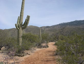
An easily accessed corner of the Cactus Forest, with especially rich desert flora and broad vistas.
Moderate Hiking
2.9 km away
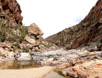
An impressive waterfall and nice swimming holes just outside of Tucson.
Difficult Hiking
4.1 km away
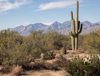
A scenic, varied, and uncrowded loop beginning in the Cactus Forest and climbing to higher views near the foot of the mountains.
Moderate Hiking
4.4 km away
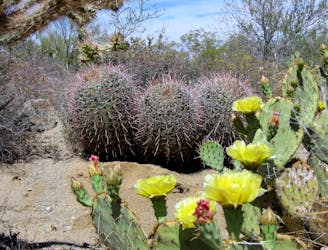
A relaxed stroll in the Cactus Forest, excellent for viewing desert plants, birds, and wildflowers.
Easy Hiking
8.5 km away
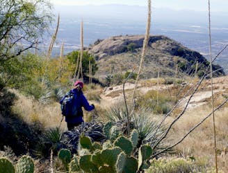
Go any distance up the mountain for a sampling of epic views, or make an overnight trip to enjoy the full platter.
Difficult Hiking
8.6 km away
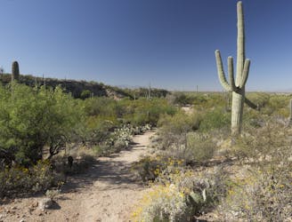
Short loop hike from the Cactus Forest Drive—great for kids and nature lovers of all ages.
Easy Hiking
8.8 km away
This underused trail follows a historic route to a stunning overlook in the Catalinas.
Difficult Hiking
5 routes · Hiking
9 routes · Hiking
6 routes · Hiking