1 m away
Hermit-Tonto-Kaibab Loop: Monument Creek to Indian Garden Campground
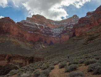
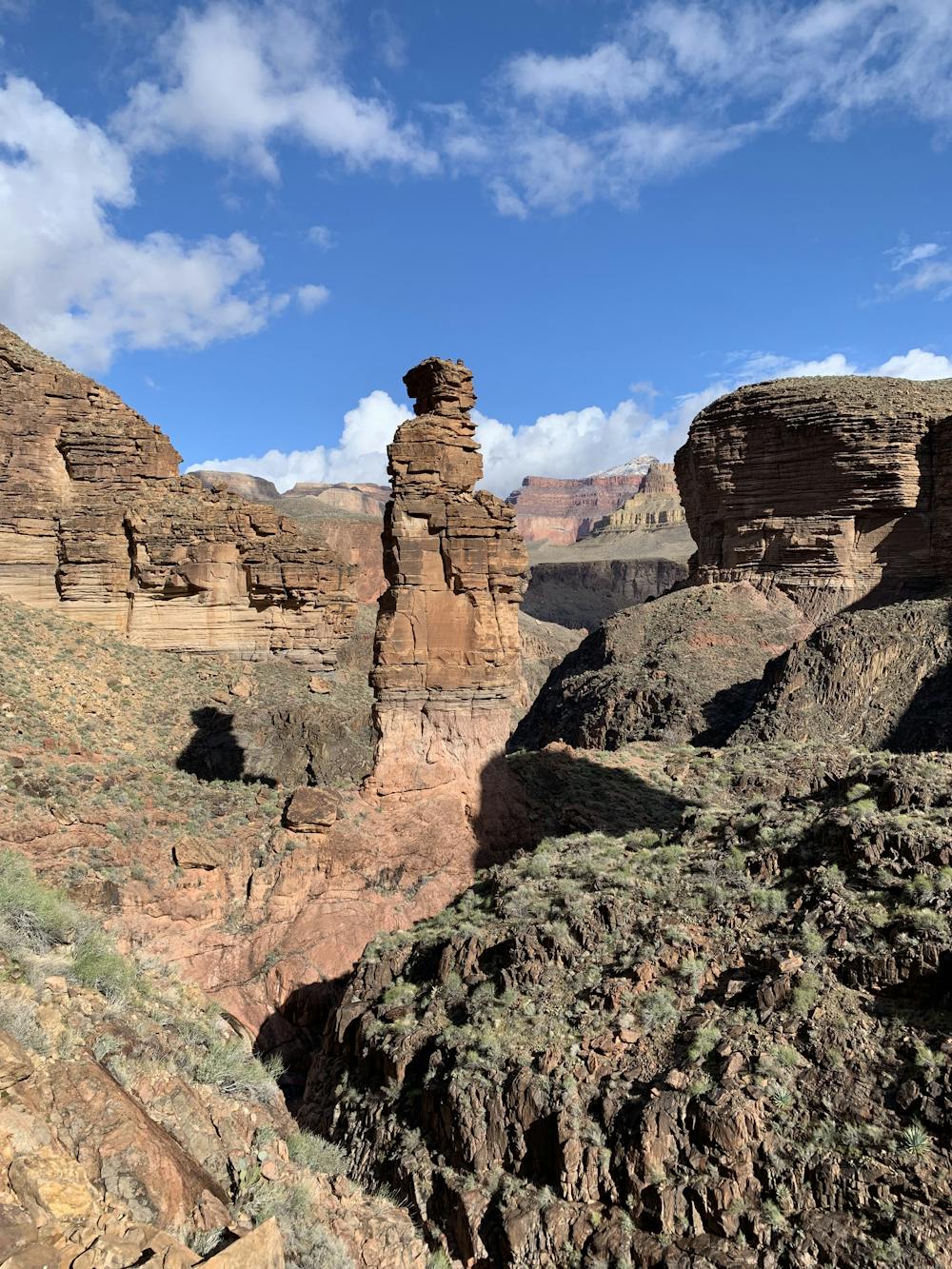
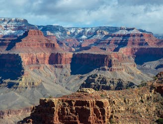
Day two traverses the magnificent Tonto Platform as you make your way across the Canyon.
Moderate Hiking
- Distance
- 16 km
- Ascent
- 539 m
- Descent
- 310 m
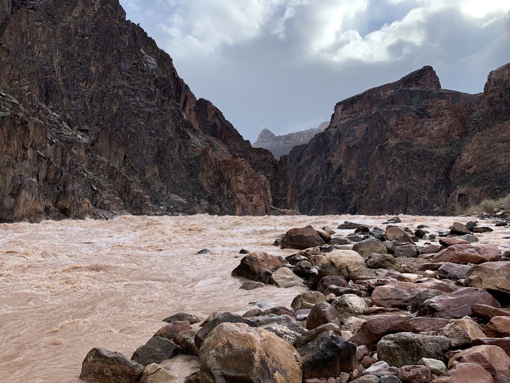
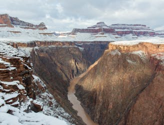
Side trip to one of the largest rapids in the Colorado River.
Hiking Easy

If hiking on the Hermit and/or Tonto trails, the Granite Rapids side trip is not to be missed. It is one of the many treasures of the Grand Canyon. The rapids are some of the largest in the famous Colorado River. There is also the chance of seeing kayakers or rafters come by—a sight to behold. Aside from the rapids, what is so impressive is the sheer width of the Colorado. This is no ordinary river!
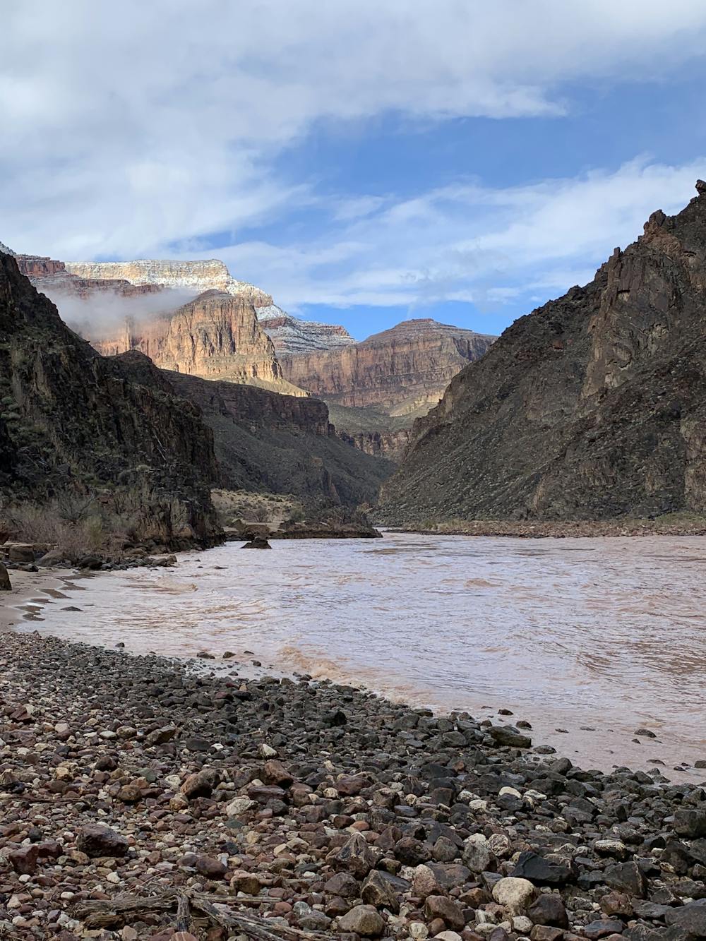
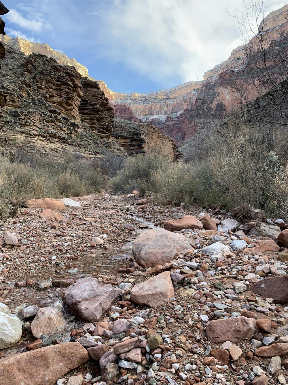
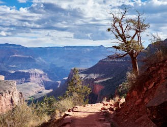
On this route, the journey is as interesting as the destination. Departing Monument Creek campground, you will make your way through a spectacular canyon down to the Colorado River. Take your time descending, as the canyon is a treat. If you listen carefully, you will hear the serene sounds of the canyon—the birds chirping and the streams flowing. The trail is also composed of mostly sand, allowing for a gentle walk.
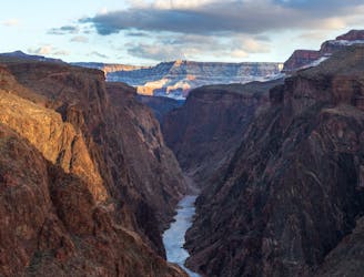
The flow of the streams increase as you near the river. The impressive sound of the roaring rapids will also begin to magnify. Once at the rapids sit back, relax, and enjoy the view. There are numerous spots to lay down in the sand while observing the rapids. There are also a few spots to pitch a tent. If you have the time, camping by the rapids would provide an awesome experience. You will likely never forget sleeping next to the mighty Colorado!
Once ready, retrace your steps back up the canyon to arrive at the Monument Creek campground. This is a beautiful trip that should not be missed!
Easy
Walking along a well-kept trail that’s mostly flat. No obstacles are present.

The path is on completely flat land and potential injury is limited to falling over.

Little chance of being seen or helped in case of an accident.
1 m away
Day two traverses the magnificent Tonto Platform as you make your way across the Canyon.
Moderate Hiking
3.1 km away
Experience living history on this challenging trek.
Difficult Hiking
3.1 km away
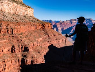
Edgy exposure makes this an adventurous trek.
Difficult Hiking
3.3 km away
Day one of a spectacular route through the Grand Canyon.
Moderate Hiking
5.1 km away
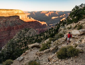
Iconic trail from rim to river in the Grand Canyon.
Difficult Hiking
5.7 km away
Must-do side trip to one of the finest spots in the Grand Canyon.
Easy Hiking
5.7 km away

Day three traverses the famed Colorado River and heads up the North Kaibab Trail
Moderate Hiking
8.7 km away
The final day of the loop ascends the beautiful South Kaibab Trail to the South Rim.
Difficult Hiking
8.7 km away
A less visited trails that provides fantastic views of the Colorado River and the canyon.
Moderate Hiking
14 routes · Hiking
8 routes · Hiking

25 routes · Alpine Climbing · Hiking

10 routes · Hiking