253 m away
Dripping Springs
Edgy exposure makes this an adventurous trek.
Difficult Hiking
- Distance
- 7.9 km
- Ascent
- 567 m
- Descent
- 567 m
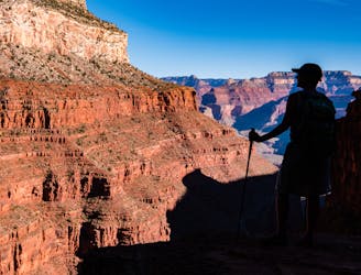
Day one of a spectacular route through the Grand Canyon.
Hiking Moderate

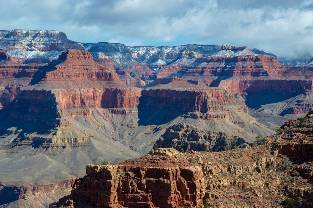
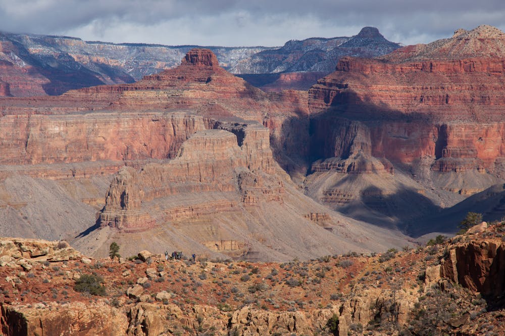
If you are looking for a multi-day backpack throughout the Grand Canyon, the Hermit-Tonto-Kaibab loop rivals any other. It features some of the best scenery the canyon has to offer. It also can be customized due to the well-designed trail system in the Grand Canyon.
Note that this route isn't a pure loop given that the ending point (South Kaibab Trailhead) is separate from the beginning (Hermit Trailhead), but the Grand Canyon shuttle buses make getting back to the car easy.
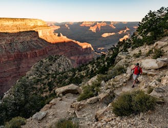
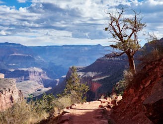
Day one features fantastic scenery as you descend into the Canyon. It is a treat to begin atop the canyon and end near the bottom in the same day. Getting the chance to see two magnificent rapids (Hermit and Granite Rapids) is an amazing experience, too.
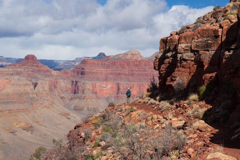
The Hermit Trail is a good trail to descend because it is not as steep as the other corridor trails, and it has fewer people. There are multiple points along the way to have a snack and take in the views. The scenery changes dramatically as you make your way down from the rim!
Once on the Tonto platform, you can either descend down to Hermit rapids (a worthy side trip) or you can make your way east on the Tonto Trail. If you have the time Hermit rapids is a fantastic spot. There is also nice camping there. From the junction, it isn't too much further to the Monument Creek campsite. You cannot go wrong with either campsite.
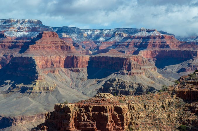
Overall, day one provides a good introduction to the canyon. Your legs will likely be sore given the almost 5,000 feet of descending! The excitement builds as you will get to parallel the Colorado River on the Tonto Trail on day two.
Moderate
Hiking along trails with some uneven terrain and small hills. Small rocks and roots may be present.

The path is on completely flat land and potential injury is limited to falling over.

Away from help but easily accessed.
253 m away
Edgy exposure makes this an adventurous trek.
Difficult Hiking
253 m away
Experience living history on this challenging trek.
Difficult Hiking
3.3 km away
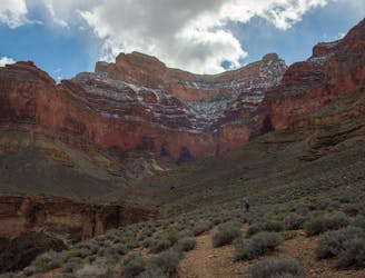
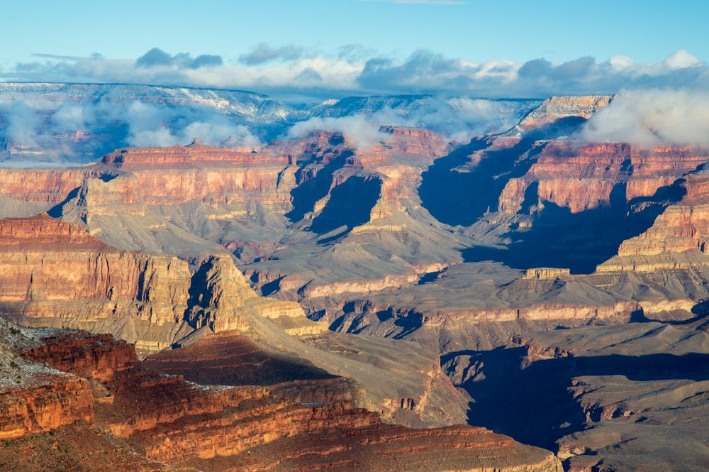
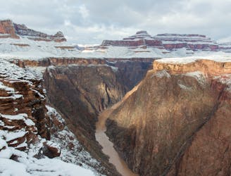
Day two traverses the magnificent Tonto Platform as you make your way across the Canyon.
Moderate Hiking
3.3 km away
Side trip to one of the largest rapids in the Colorado River.
Easy Hiking
6.1 km away
Iconic trail from rim to river in the Grand Canyon.
Difficult Hiking
8 km away
Must-do side trip to one of the finest spots in the Grand Canyon.
Easy Hiking
8 km away

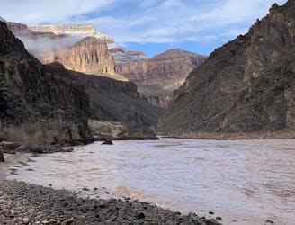
Day three traverses the famed Colorado River and heads up the North Kaibab Trail
Moderate Hiking
14 routes · Hiking
8 routes · Hiking

25 routes · Alpine Climbing · Hiking

10 routes · Hiking