4.2 km away
Pima East & West Loops
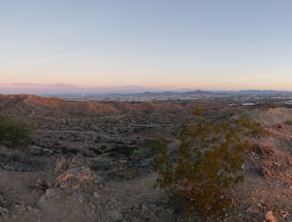
A short hike originating from the Pima Canyon Trailhead.
Moderate Hiking
- Distance
- 4.3 km
- Ascent
- 82 m
- Descent
- 82 m
An easy walk around an artificial lake.
Hiking Easy

Kiwanis Park is a 125-acre oasis south of Tempe that provides a rare (for Arizona) lake in the Phoenix metro area. While this manmade lake is definitely kitschy and feels extremely artificial, many local residents appreciate the break from the arid desert environment that is endemic to the area.
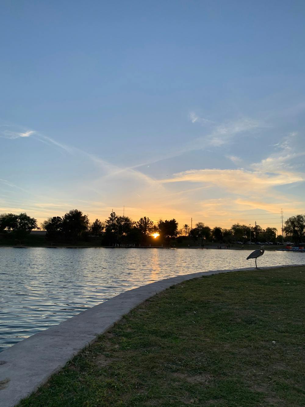
This rare body of water provides a habit for many types of birds. Thanks to the many birds that flock here as a result, Kiwanis Park is a popular spot for birder spotters.
The trail shown here is an easy, flat path that encircles the lake. Be sure to bring your binoculars and see how many bird species you can identify!
Sources: https://www.tempe.gov/Home/Components/FacilityDirectory/FacilityDirectory/120/3542
Easy
Walking along a well-kept trail that’s mostly flat. No obstacles are present.

The path is on completely flat land and potential injury is limited to falling over.
Close to help in case of emergency.
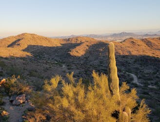
4.2 km away
A short hike originating from the Pima Canyon Trailhead.
Moderate Hiking
4.3 km away
A demanding, short hike with incredible views of Ahwatukee.
Difficult Hiking
8.4 km away

An easy, scenic hike in the South Mountain trail system.
Moderate Hiking

16 routes · Hiking

6 routes · Hiking