58 m away
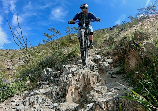
South Mountain: Javelina Canyon Loop
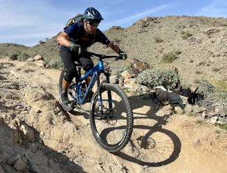
One of the flowiest trails on South Mountain still packs a technical punch.
Difficult Mountain Biking
- Distance
- 8.2 km
- Ascent
- 166 m
- Descent
- 166 m
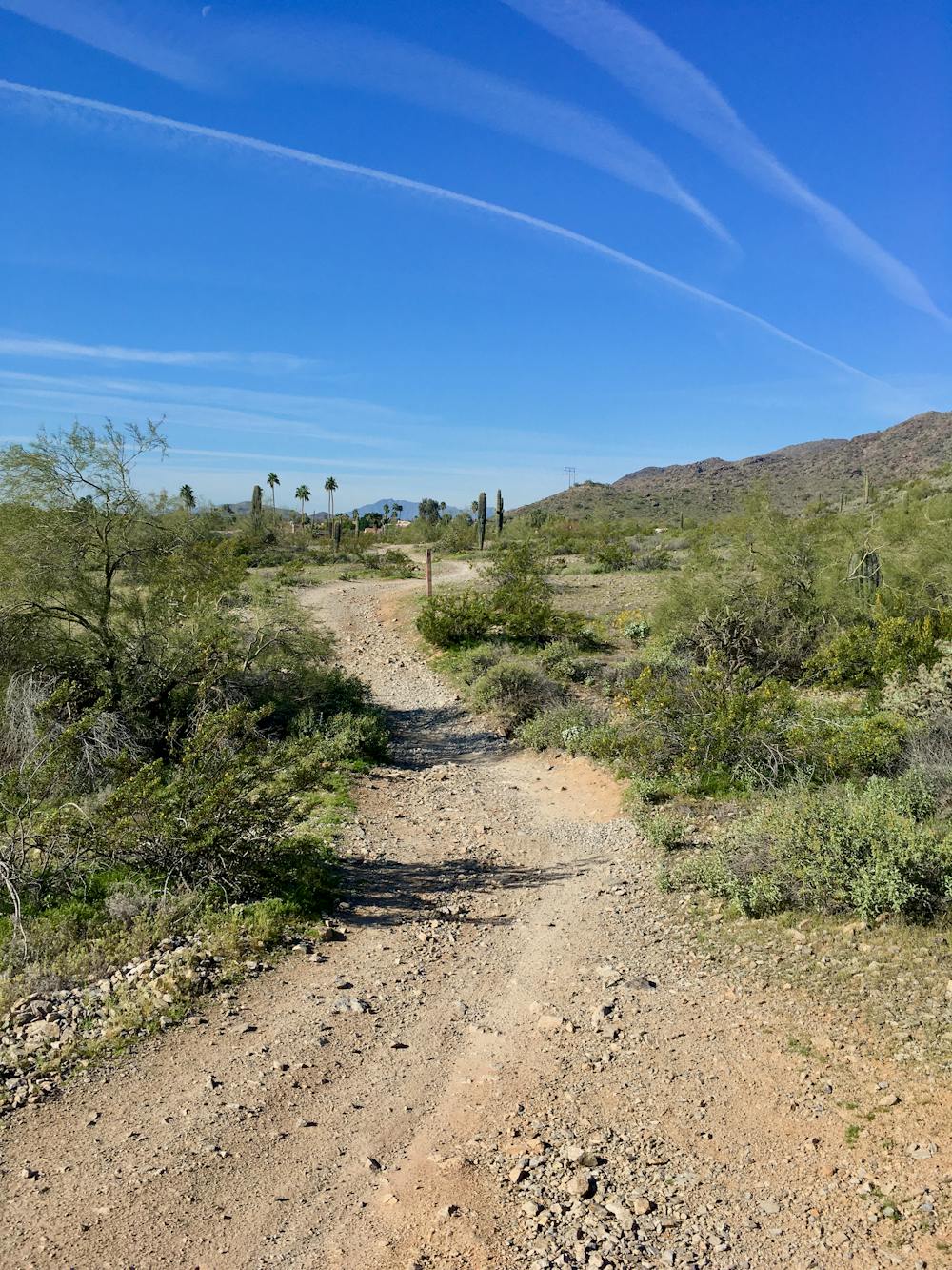
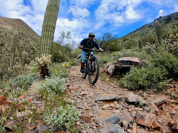
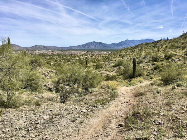
The easiest trail in the South Mountain Trail System makes for the perfect after work cross country ride.
Mountain Biking Moderate

The Desert Classic trail is hands-down the easiest trail in the South Mountain Trail System. This ultra-popular route runs along the base of the mountains without climbing high into the hills. As a result, it's popular with beginner mountain bikers, cross country riders looking to log miles, and hikers and trail runners as well.
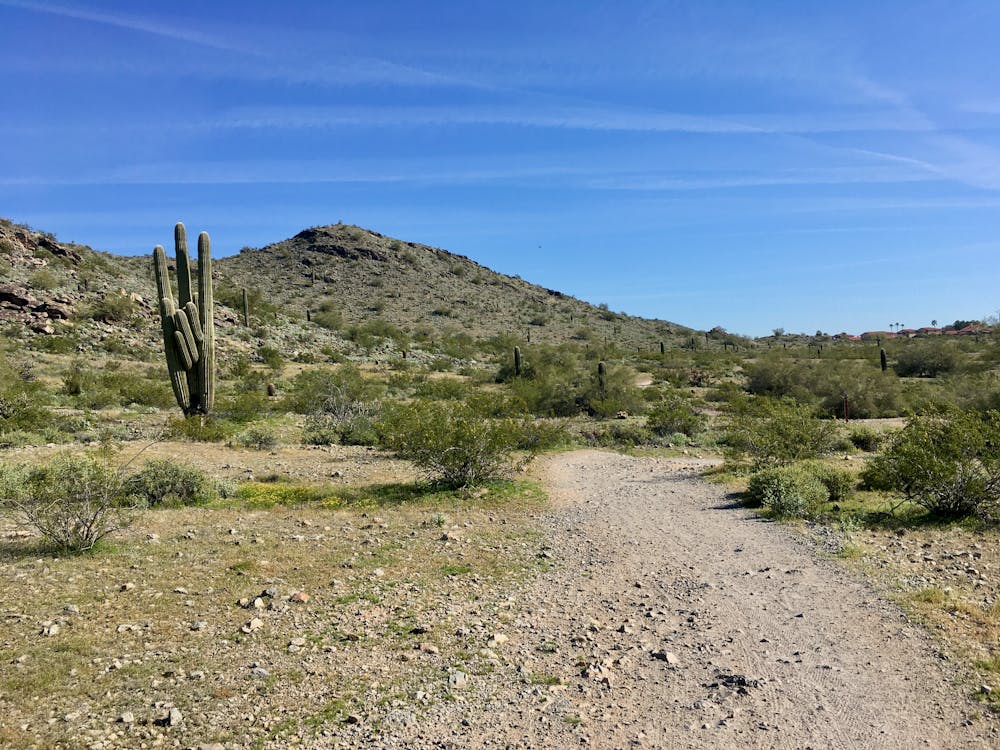
In short, the Desert Classic is popular. Since it's easily accessible from the Pima Canyon Trailhead and a multitude of feeder trails along its length, you can expect to encounter tons of trail traffic at any time of the day and on every day of the week. This massive popularity has lead to much of the trail widening from true singletrack mostly doubletrack—a phenomenon that can be observed across the entire Phoenix Metro Area.
While it's the easiest trail in the South Mountain network, South Mountain ranks on the very rough end of the technical spectrum, meaning that even the "easiest" cross country trail could be rated as difficult in other places in the nation. That said, you won't encounter any serious obstacles on the Desert Classic. Instead, any technicality here comes from erosion freeing loose rocks from the ground, a few sections of rough embedded rock, and regular dips into drainage ditches with short, steep descents and short, steep climbs back out.
While an athletic beginner could still have a great time riding this trail, it's not nearly as beginner-friendly as one might expect. Instead, the Desert Classic serves as a great after-work rip for cross country riders on hardtails and short travel bikes looking to log serious miles, without traveling too far away. As mapped, this out-and-back ride measures over 17 miles long, and it can easily be extended by climbing higher into the mountains.
Moderate
Mostly stable trail tread with some variability, with unavoidable obstacles 8in/20cm tall or less. Other obstacles such as rock gullies and steep sections may exist. Ideal for lower intermediate riders.

The path is on completely flat land and potential injury is limited to falling over.
Close to help in case of emergency.
58 m away
One of the flowiest trails on South Mountain still packs a technical punch.
Difficult Mountain Biking
4.6 km away

The perfect beginner mountain bike ride.
Easy Mountain Biking
5.3 km away
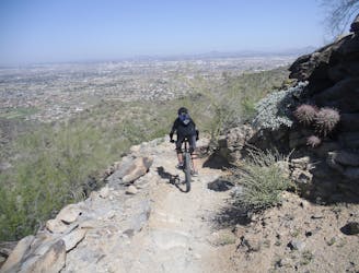
This route gives the technical rider a great tour of the best of South Mountain.
Severe Mountain Biking

37 routes · Mountain Biking
4 routes · Mountain Biking
10 routes · Mountain Biking
8 routes · Mountain Biking