3.5 km away
Soldier Pass -> Brin's Mesa Loop
A fantastic 5-mile loop around Brin's Butte.
Difficult Trail Running
- Distance
- 8 km
- Ascent
- 264 m
- Descent
- 264 m
A beautiful loop on iconic Sedona trails.
Trail Running Difficult

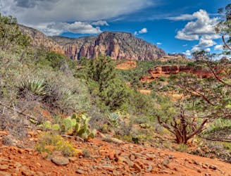
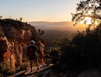
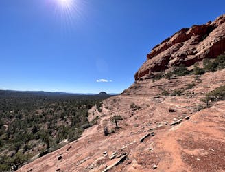
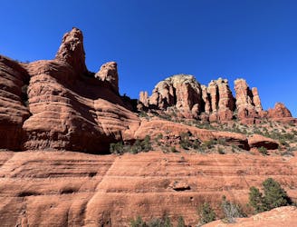
The Upper Dry Creek Area, which this loop runs through, is the perfect zone for long-distance runs that sample Sedona's famed red rocks and gorgeous views.
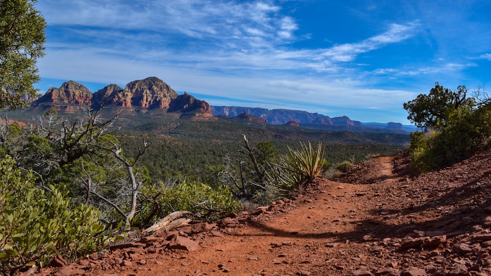
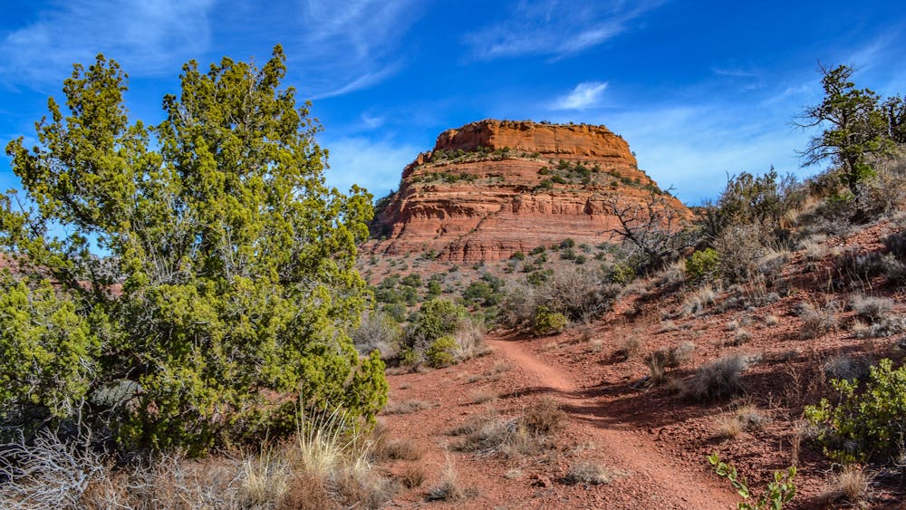
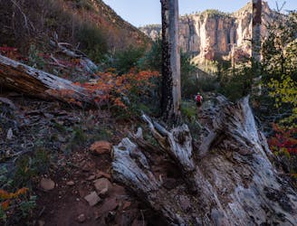
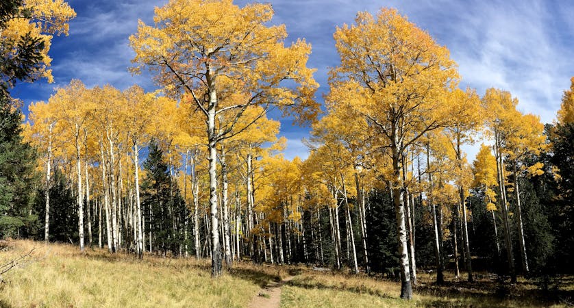
This zone also provides more true singletrack running, instead of just scrambling up and down rock slabs all the time. The singletrack here swoops through the low pinion pines and spiny cholla cactus, allowing you to open up your stride and really cover some miles.
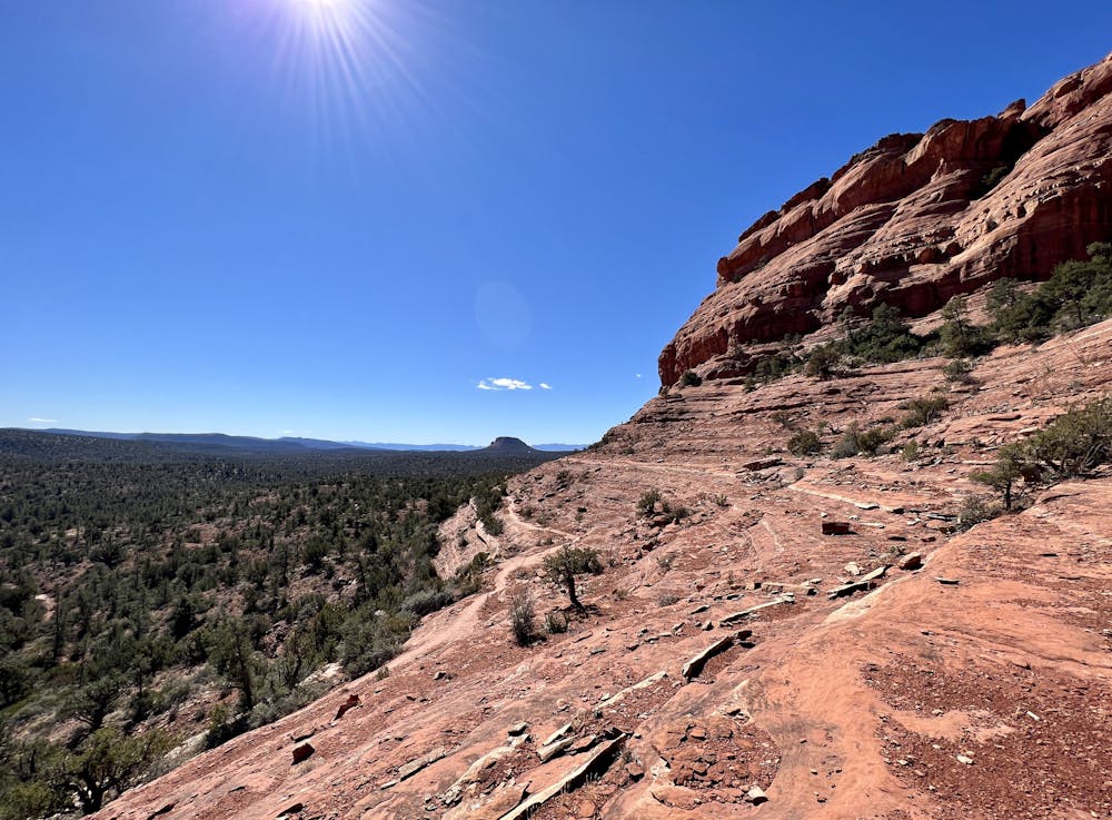
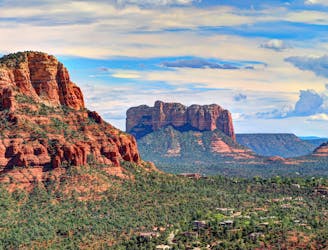
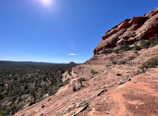
The three main trails anchoring this loop are Chuckwagon, Mescal, and Aerie. While Mescal is a bit tougher and more exposed than the others, it's still quite runnable. These sections of trail skirt the red rock slabs that Sedona is renowned for, with some of the upper reaches on Mescal especially offering jaw-dropping views from the side of Mescal Mountain of the greater Red Rocks Region.
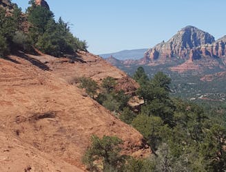
Climbs and descents alternate back and forth in true Sedona style. Nothing kicks up for long... or descends for long, for that matter. Once you get into the rhythm of constant climbing and descending, you'll come to enjoy the short, techy downhills, the gorgeous views, and the ever-changing character of this trail.
Difficult

Some trail sections have exposed ledges or steep ascents/descents where falling could cause serious injury.

Away from help but easily accessed.
3.5 km away
A fantastic 5-mile loop around Brin's Butte.
Difficult Trail Running
4 km away
This Sedona run provides gorgeous views of canyons & red rock formations.
Severe Trail Running
4.3 km away
A long loop connecting Sedona trails both old and new.
Difficult Trail Running
5.4 km away
Gorgeous loop around Airport Butte offering spectacular views of the valley.
Moderate Trail Running
7.1 km away
An epic, high-exposure trail run with incredible views and extremely technical slickrock singletrack.
Severe Trail Running
7.8 km away
Enjoy a 360-degree red rock sensory experience on this incredible run!
Difficult Trail Running
8.7 km away
A view-heavy run to the highest point in the Sedona area.
Difficult Trail Running

17 routes · Hiking · Trail Running
10 routes · Trail Running
10 routes · Trail Running