West Summit Trail to Pinnacle Mountain
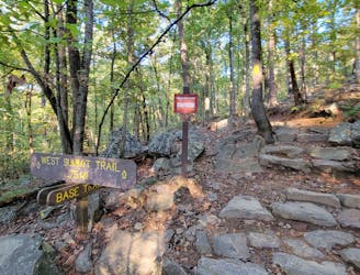
The western and most popular route to summit Pinnacle Mountain.
Difficult Hiking
- Distance
- 2.1 km
- Ascent
- 226 m
- Descent
- 226 m
A moderate hike circumnavigating the base of Pinnacle Mountain.
Hiking Moderate

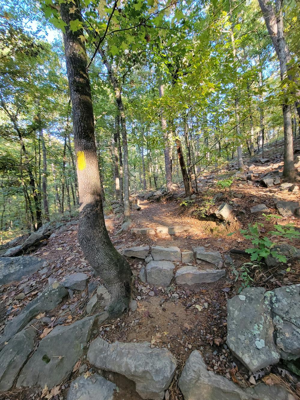
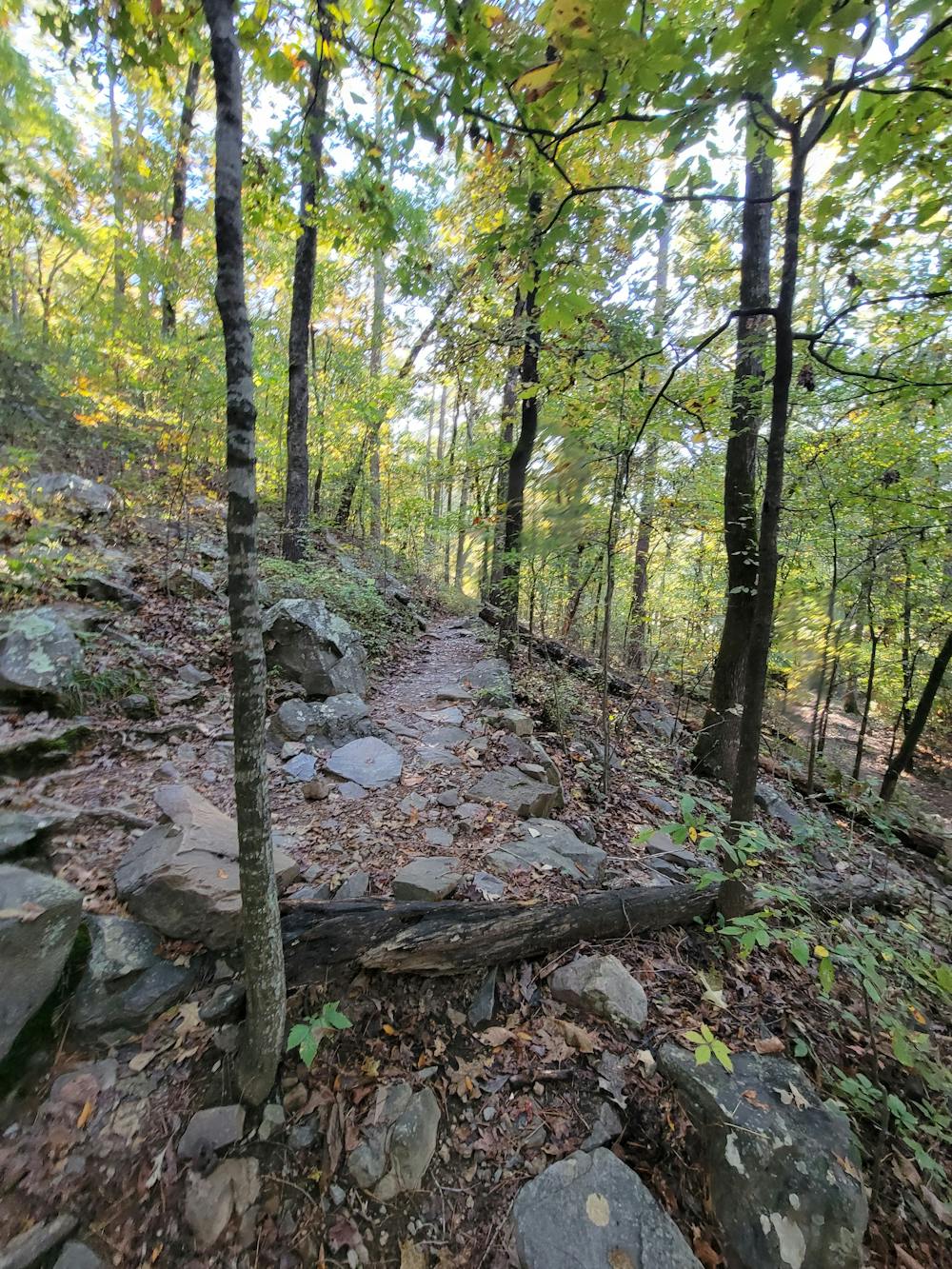
If summiting Pinnacle via the western approach seems too daunting, or if you're just looking for a change in scenery, then the Base Trail is just for you. Less than 3 miles in length, the loop climbs a moderate ~280' and offers a more relaxing tour of the Pinnacle Mountain State Park. Expect moderately-rocky terrain, lush forests, and maybe even some wildlife as you circumnavigate the second highest peak in the county.
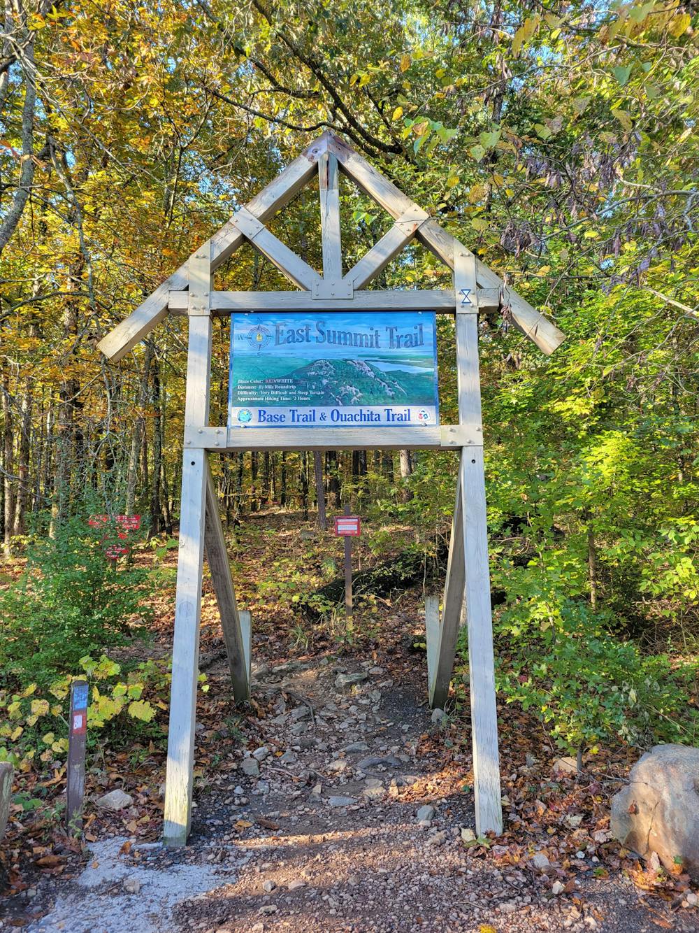
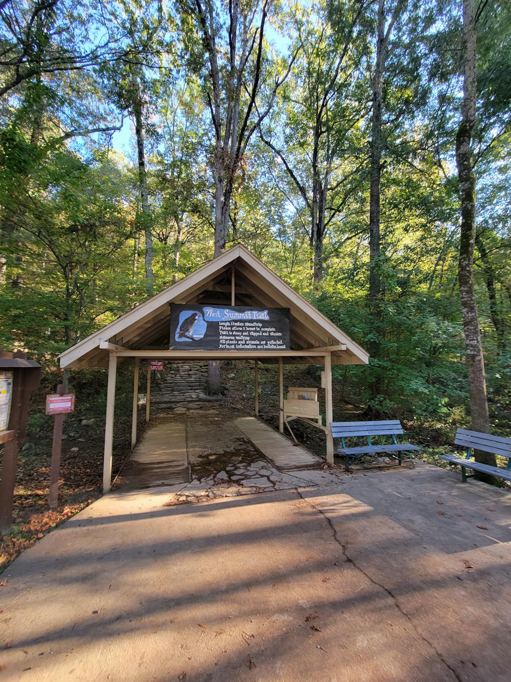
The trailhead for this hike begins at the west summit parking area, though you could also begin at the eastern trailhead. A newer portion of the Ouachita Trail also shares the loop for a stretch, making the eastern trailhead semi-popular with those planning a longer thru-hike. From the west, full-service restrooms are available, and drinking water stations are available for people, as well as their 4-legged friends. In fact, the loop is also open to dogs, as long as they are well-behaved and leashed at all times.
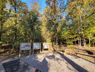
Those enjoying the loop trail may also enjoy the brief, but scenic, Kingfisher Trail that begins across from the parking area. Interpretative kiosks line the trail and highlight the local flora and fauna found throughout the park.
Moderate
Hiking along trails with some uneven terrain and small hills. Small rocks and roots may be present.

The trail contains some obstacles such as outcroppings and rock which could cause injury.
Away from help but easily accessed.
The western and most popular route to summit Pinnacle Mountain.
Difficult Hiking
2.6 km away
A challenging hike across Rattlesnake Ridge with stunning views of Lake Maumelle.
Difficult Hiking

4 routes · Hiking