2.6 km away
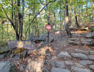
Base Trail
A moderate hike circumnavigating the base of Pinnacle Mountain.
Moderate Hiking
- Distance
- 4.4 km
- Ascent
- 88 m
- Descent
- 88 m
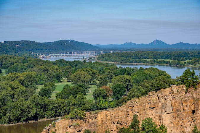
A challenging hike across Rattlesnake Ridge with stunning views of Lake Maumelle.
Hiking Difficult

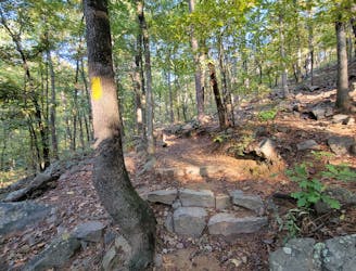
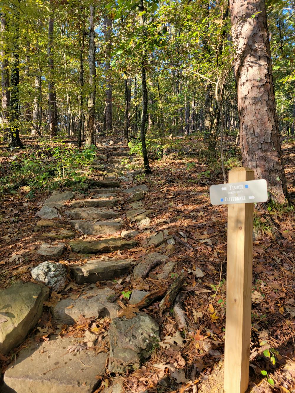
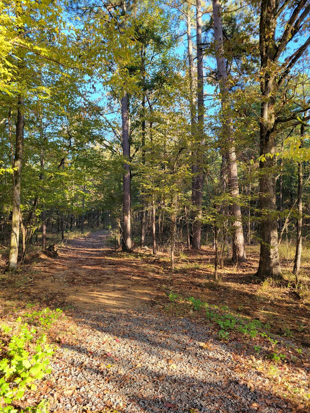
Rattlesnake Ridge near Little Rock is a favorite area to explore for hikers and mountain bikers alike. A steady climb follows the Cliffbrake Trail to a spectacular overlook of Lake Maumelle. Then you have the option to traverse the scenic Upper Rattlesnake Ridge or retrace your steps back to the trailhead. A series of wider dirt and gravel paths also wind their way to the overlook, should you want a more relaxing hike up easier trails to the summit.
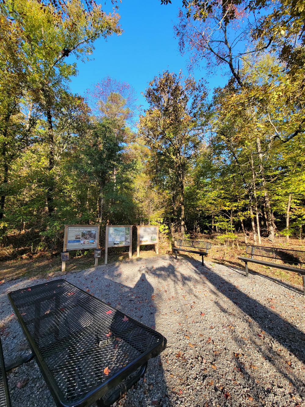
These trails were all made possible thanks to the Arkansas Nature Conservancy. By improving the habitat for unique plant and animal life, the goal was to protect the forest health, reduce wildfire, and restore woodlands to their natural beauty, the trail kiosk notes. Healthy forests can also limit the spread of invasive plants and pests and help retain sediment from draining into the nearby Lake Maumelle, central Arkansas's drinking water supply. Floodplain control was another major variable for protecting the area from development.
That said, due to the hydrology and geology of some of the hillsides, the trails may close due to rain. Be respectful of any trail closures and give the singletrack adequate time to drain after rain. It's suggested to visit the Nature Conservancy in Arkansas on Facebook if you'd like to check on conditions prior to your visit.
Difficult
Hiking trails where obstacles such as rocks or roots are prevalent. Some obstacles can require care to step over or around. At times, the trail can be worn and eroded. The grade of the trail is generally quite steep, and can often lead to strenuous hiking.

The trail contains some obstacles such as outcroppings and rock which could cause injury.
Away from help but easily accessed.
2.6 km away
A moderate hike circumnavigating the base of Pinnacle Mountain.
Moderate Hiking
2.6 km away
The western and most popular route to summit Pinnacle Mountain.
Difficult Hiking
4 routes · Hiking