Base Trail
A moderate hike circumnavigating the base of Pinnacle Mountain.
Moderate Hiking
- Distance
- 4.4 km
- Ascent
- 88 m
- Descent
- 88 m
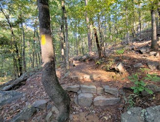
The western and most popular route to summit Pinnacle Mountain.
Hiking Difficult

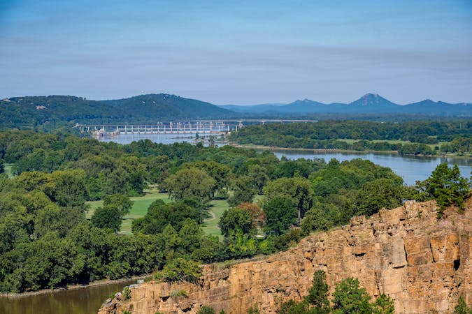
As the centerpiece of its namesake state park, Pinnacle Mountain is one of the most difficult-to-reach mountaintops within hours of Little Rock. With an elevation of 1,000' above sea level, it's the second-highest point in the county and offers spectacular views of Lake Maumelle and its surroundings from its perch. Though it may be one of the more challenging day hikes in the region, the western approach is still a favorite amongst locals and a challenge that visitors will enjoy.
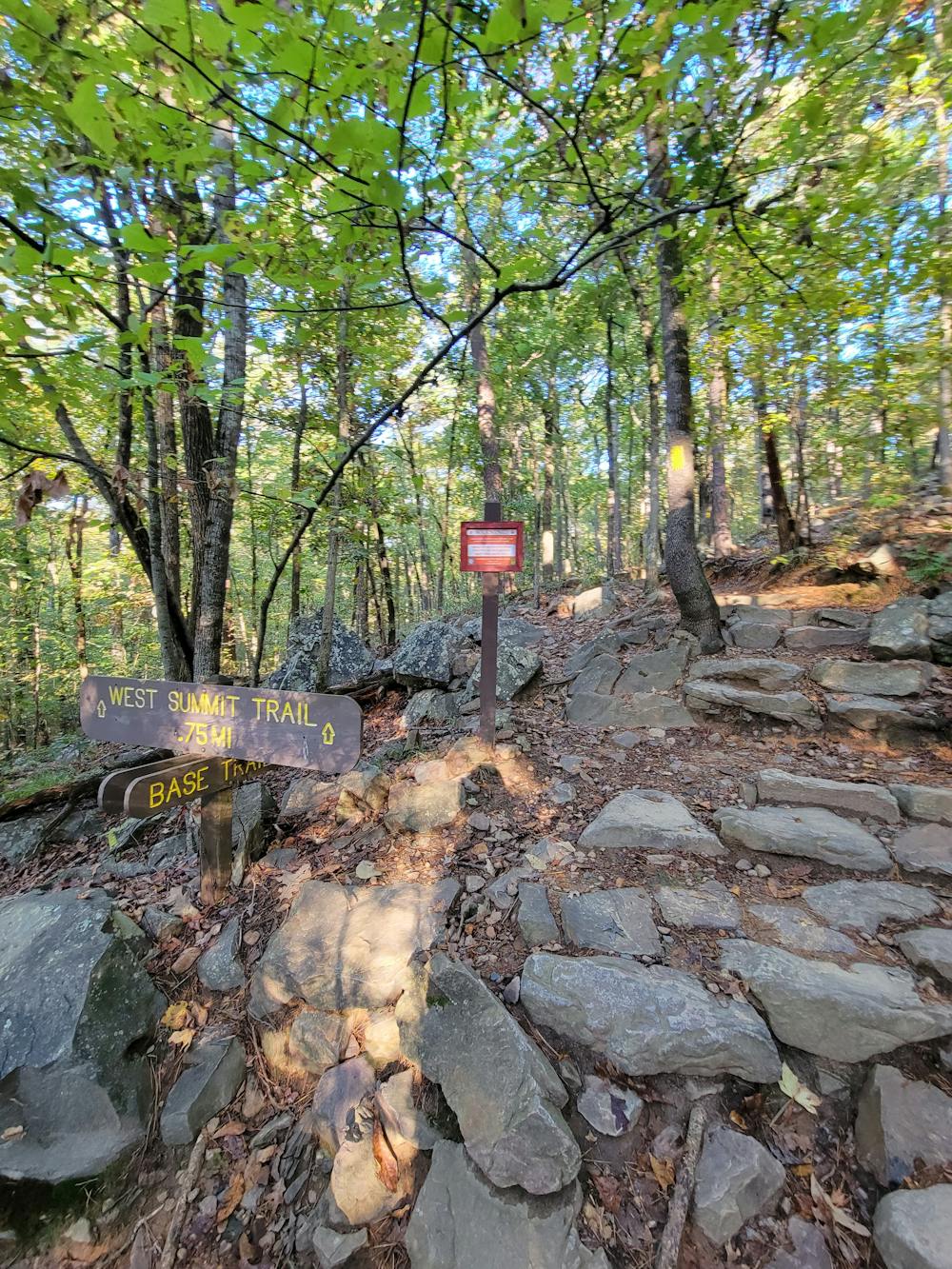
When it comes to summiting the peak, there are two options. The western approach (seen here) is the most popular and sees the most traffic, while the eastern approach requires a bit of scrambling, which makes it a bit more difficult. Both trails lead to the same viewpoint, and should you have two vehicles, a point-to-point hike is always an option.
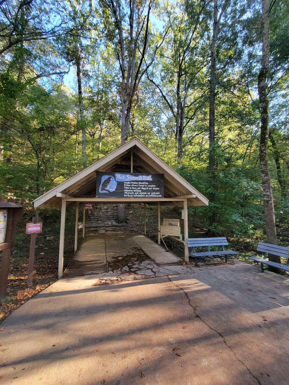
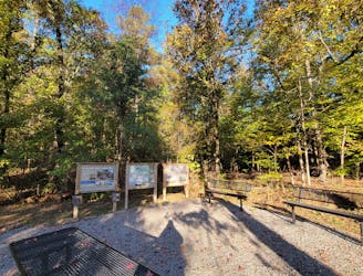
The trailhead for this hike begins at the west summit parking area. Full-service restrooms are available, and drinking water stations are available for people, as well as their 4-legged friends. In fact, the trail is even open to dogs, as long as they are well-behaved and leashed at all times.
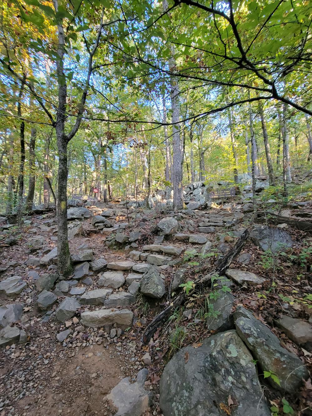
Difficult
Hiking trails where obstacles such as rocks or roots are prevalent. Some obstacles can require care to step over or around. At times, the trail can be worn and eroded. The grade of the trail is generally quite steep, and can often lead to strenuous hiking.

Some trail sections have exposed ledges or steep ascents/descents where falling could cause serious injury.

Away from help but easily accessed.
A moderate hike circumnavigating the base of Pinnacle Mountain.
Moderate Hiking
2.6 km away
A challenging hike across Rattlesnake Ridge with stunning views of Lake Maumelle.
Difficult Hiking
4 routes · Hiking