493 m away
Bloody Mary

A popular locals spot on Sawtooth Ridge
Severe Freeride Skiing
- Distance
- 472 m
- Ascent
- 7 m
- Descent
- 121 m
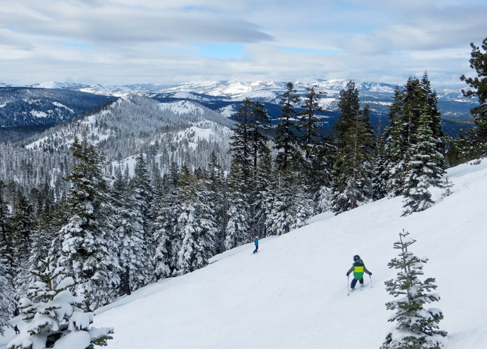
The best hike-to terrain at Northstar when conditions permit
Freeride Skiing Difficult

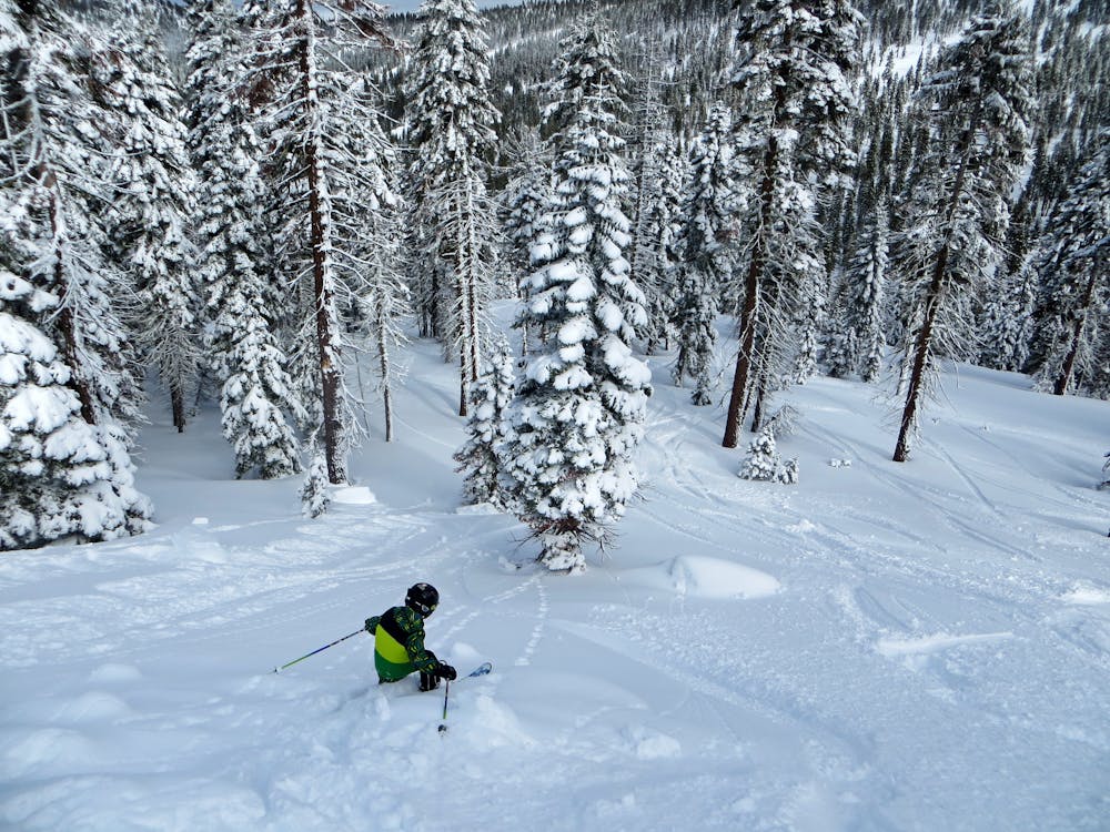
"Sawtooth Ridge" is the hands down the best hike-to terrain that Northstar has to offer when conditions permit. When there is enough snow and avalanche conditions have been assessed, Ski Patrol will open the access gate which is at the bottom of "Challenger". To find the gate you must ski the length of "Challenger" on The Backside and as soon as you come to the hard right turn at the bottom of the trail, slow down and keep to skiers left. You will see the orange boundary lines and notice that there is signage for "Sawtooth Ridge" just a bit higher than the ropes marking the hike-to area. From here you will need to click-out of your skis or unstrap your board and prepare for a decent hike. The length of the hike is dependent upon which zone you want to drop into and can range from 10 - 30 minutes. You will more than likely see a boot packed trail that has been set by Ski Patrol. Follow this to the top of the ridge. You will come across the first peak where you can drop in or you can choose to continue a downslope hike that connects directly to another uphill section that gets you to the second peak. This second peak will allow you to access more vertical feet of skiing and is the recommended area for dropping in. As you start your run you will have a wide open area at the top which leads into spaced out trees with incredible views in the back ground. As you get further down the trees will become a bit more dense and then you will will connect back with "Down Under" and find yourself back at the bottom of "Backside Express" lift.
Difficult
Serious gradient of 30-38 degrees where a real risk of slipping exists.

As well as the slope itself, there are some obstacles (such as rock outcrops) which could aggravate injury.

Little chance of being seen or helped in case of an accident.
493 m away
A popular locals spot on Sawtooth Ridge
Severe Freeride Skiing
647 m away

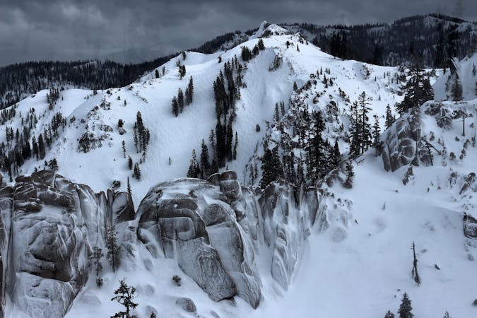
A large Cornice atop Sawtooth Ridge
Severe Freeride Skiing
977 m away

Drop after drop after drop
Difficult Freeride Skiing
2.7 km away

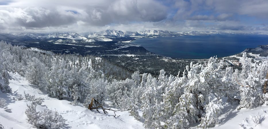
Great views of Lake Tahoe and large boulders to drop off of.
Difficult Freeride Skiing
2.7 km away

A perfect spot for powder photoshoots
Severe Freeride Skiing
2.7 km away

Large boulder/cliff drop area
Difficult Freeride Skiing
2.7 km away

Great Views of Lake Tahoe Basin on the Mountain
Difficult Freeride Skiing
9.3 km away

One of the "Squallywood" zones
Extreme Freeride Skiing
9.8 km away

A nice option for Chute 75
Severe Freeride Skiing
10 km away

A challenging variation off Trail 90 on Silverado
Difficult Freeride Skiing
8 routes · Freeride Skiing
3 routes · Freeride Skiing