Inspiration Point and Muir Peak
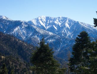
Incredibly scenic uphill journey linking multiple overlooks in the San Gabriel Mountains.
Difficult Hiking
- Distance
- 17 km
- Ascent
- 943 m
- Descent
- 943 m
Historic path to a ruined resort and one of the best views over Pasadena, plus the waterfalls of Rubio Canyon.
Hiking Difficult

Echo Mountain is a ridge of the San Gabriel Mountains that extends prominently toward Altadena and Pasadena. It’s quite the majestic view from on top, and as such, was the site of a luxury resort and astronomy observatory at the turn of the 20th Century. Back then, an electric railway wound all the way up these slopes and higher into the mountains, and the “White City” on Echo Mountain was one of its most scenic stops.
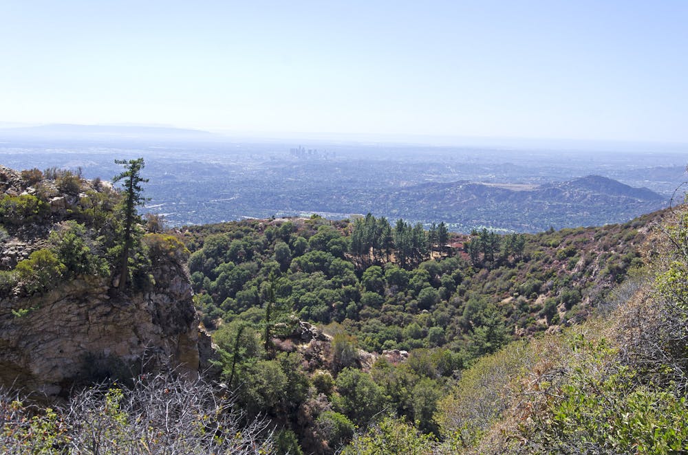
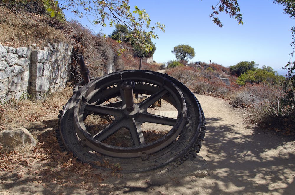
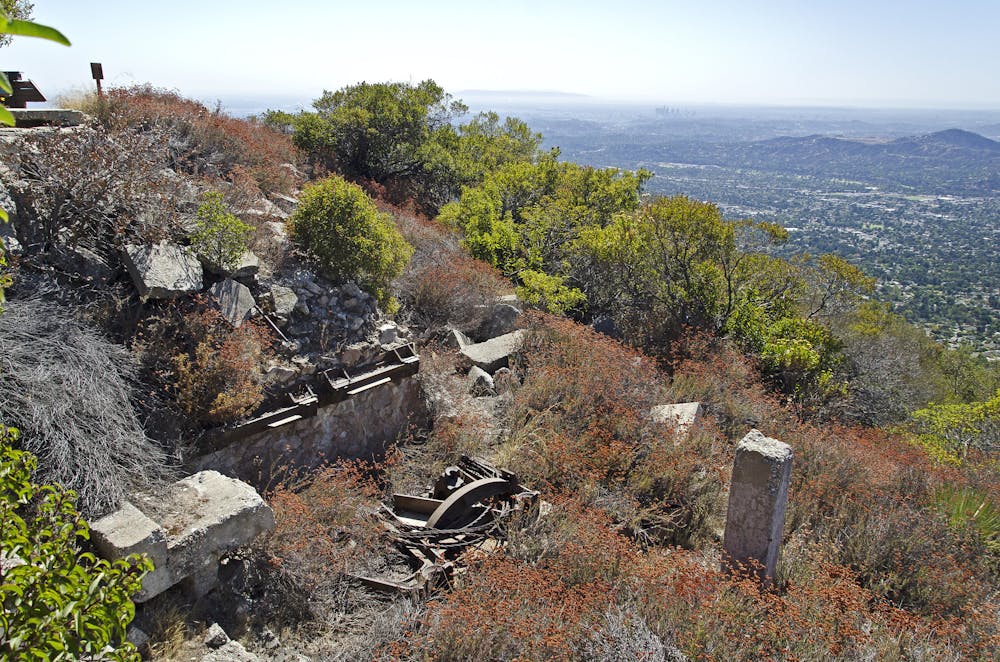
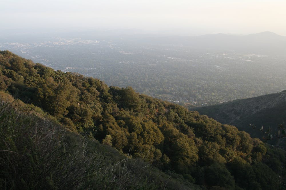
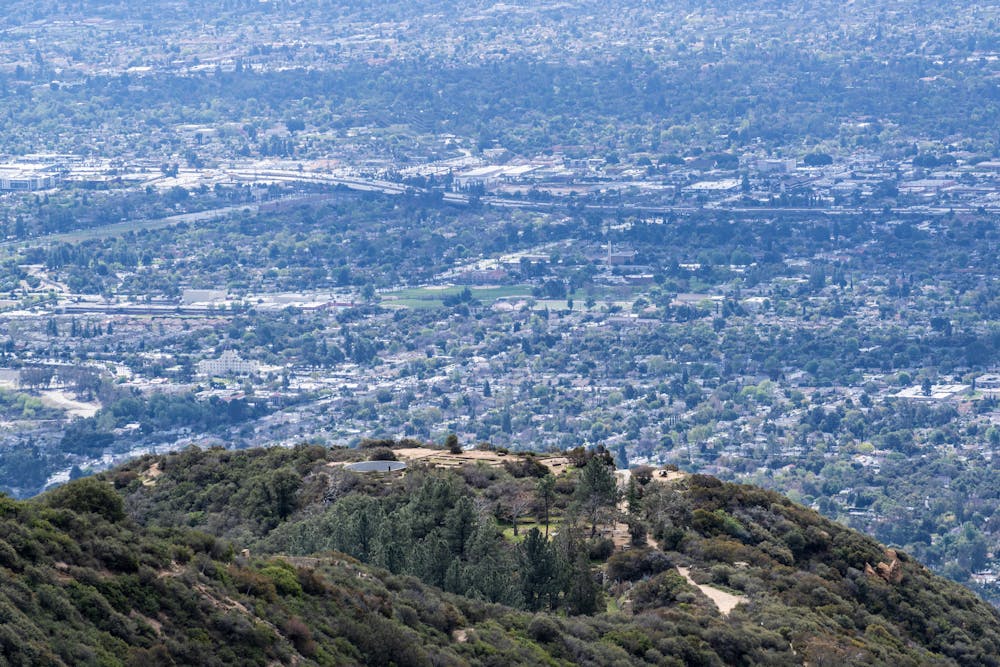
Today, more than 100 years later, White City and the railroad lie in ruins, battered by forest fires and landslides and abandoned to the elements. Echo Mountain still stands as a proud natural overlook, and now an interesting museum to human history. Stone foundations of the city and iron relics of the railcars remain. Trails now follow the path the railway once took up the mountain, and make one of the best hiking loops in the area.
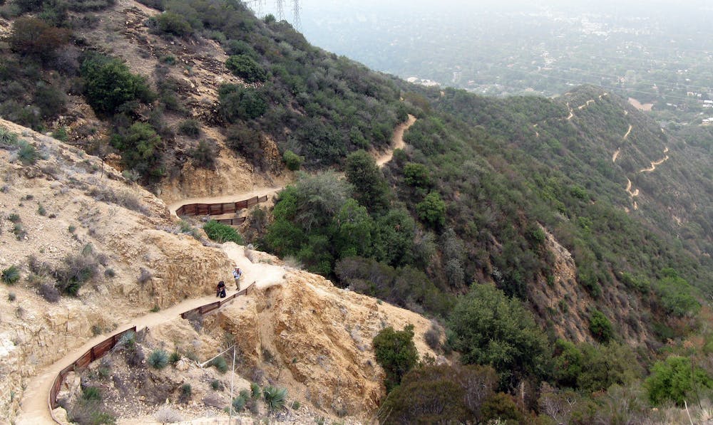
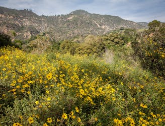
Rubio Canyon, on the east side of Echo Mountain, is where passengers boarded the clattering cars, but today it’s a peaceful glen of green with only traces of past development. On the trail, you’ll pass stone walls and rusty pipes, but also displays of wildflowers and trickling waterfalls. Sam Merrill Trail climbs the opposite side of the mountain to meet the trail from Rubio Canyon at the White City Ruins. The loop combines these trails for a scenic and informative tour. Signs explain some of the history at the ruins site and along the trails.
Starting on Sam Merrill Trailhead from Cobb Estate is recommended. Its ascent is less steep than Rubio Canyon, and it’s shaded early in the day but not at all in the afternoon. After you’ve explored White City, go down the steep switchbacks of the Mt. Lowe Railway Trail into the respite of Rubio Canyon. Take a short spur up-canyon to visit the waterfalls, then return downhill to follow Rubio Canyon Trail to Pleasantridge Drive. To complete the loop, walk to Rubio Canyon Road then use the Altadena Crest Trail to return to Cobb Estate.
Sources: https://en.wikipedia.org/wiki/SamMerrillTrail https://en.wikipedia.org/wiki/MountLoweRailway https://hikingguy.com/hiking-trails/best-la-hikes/echo-mountain-hike-on-the-sam-merrill-trail/
Difficult
Hiking trails where obstacles such as rocks or roots are prevalent. Some obstacles can require care to step over or around. At times, the trail can be worn and eroded. The grade of the trail is generally quite steep, and can often lead to strenuous hiking.

Some trail sections have exposed ledges or steep ascents/descents where falling could cause serious injury.

Away from help but easily accessed.
Incredibly scenic uphill journey linking multiple overlooks in the San Gabriel Mountains.
Difficult Hiking
4.2 km away
Very popular hike to one of LA-area's favorite waterfalls.
Moderate Hiking
7 km away
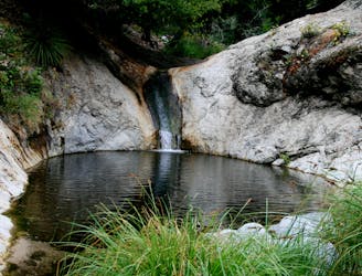
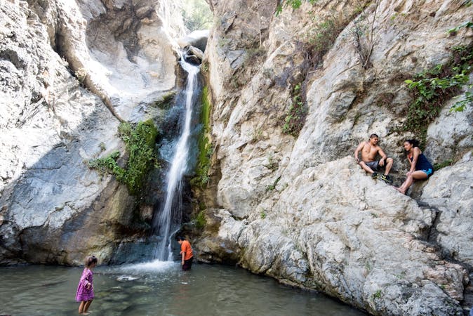
Hike down a forested canyon to find multiple waterfalls and small swimming holes.
Moderate Hiking
8.4 km away
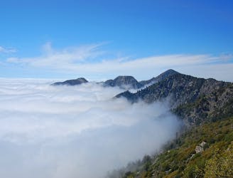
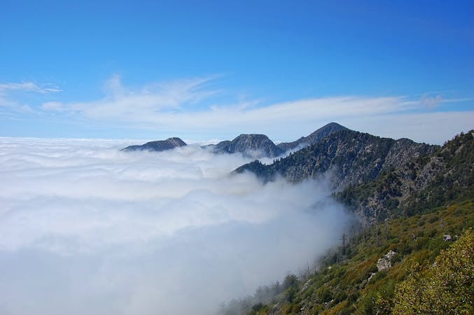
Towering above the Los Angeles metro area, Mount Wilson is a formidable—but rewarding—objective.
Severe Hiking
17 routes · Hiking
12 routes · Hiking
9 routes · Hiking
10 routes · Hiking