3.7 km away
Santa Anita Canyon - Mt. Zion Loop
Full-value loop combining Sturtevant Falls, Mt. Zion summit, and swimming holes in Big Santa Anita Canyon.
Difficult Hiking
- Distance
- 13 km
- Ascent
- 702 m
- Descent
- 699 m
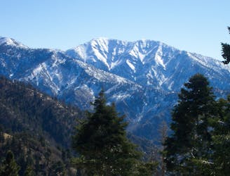
Towering above the Los Angeles metro area, Mount Wilson is a formidable—but rewarding—objective.
Hiking Severe

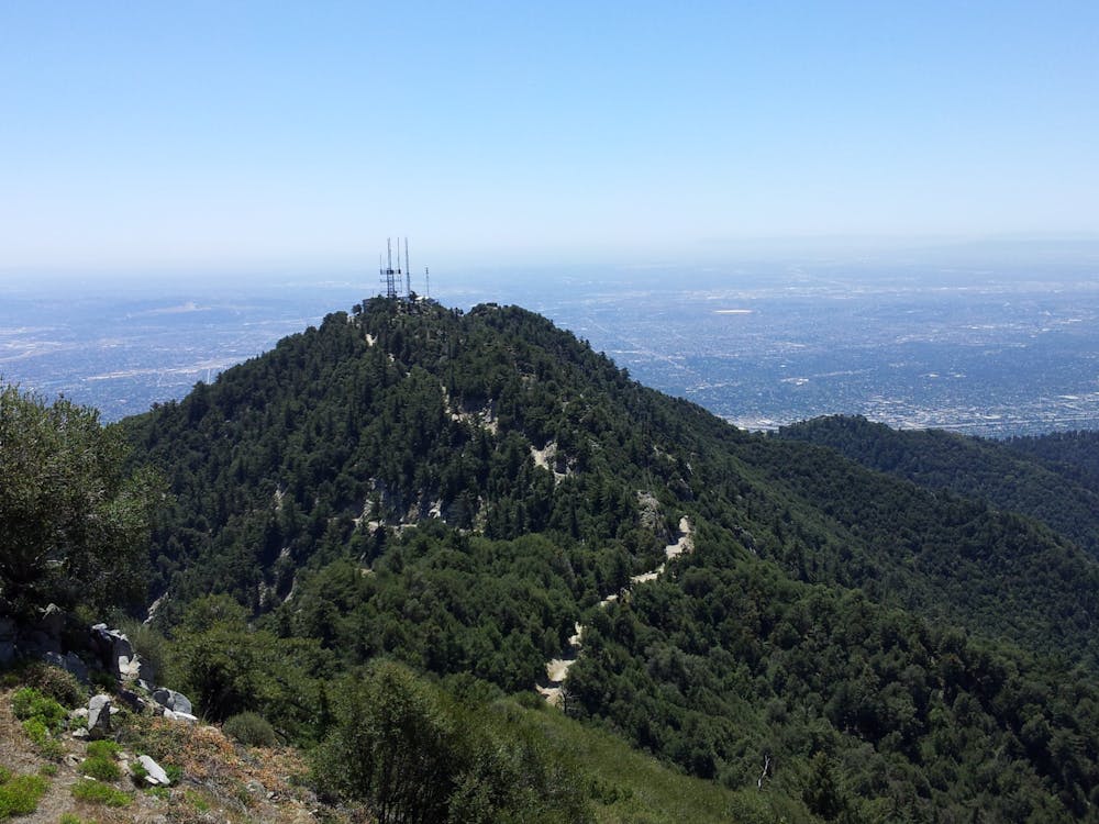
Mount Wilson towers above the Los Angeles metro area, soaring to a height of 5,712 feet above sea level. This height is impressive because the mountain literally does rise from sea level! Hikers can climb the entire height of Mount Wilson on beautiful singletrack hiking trails beginning right on the outskirts of Altadena.
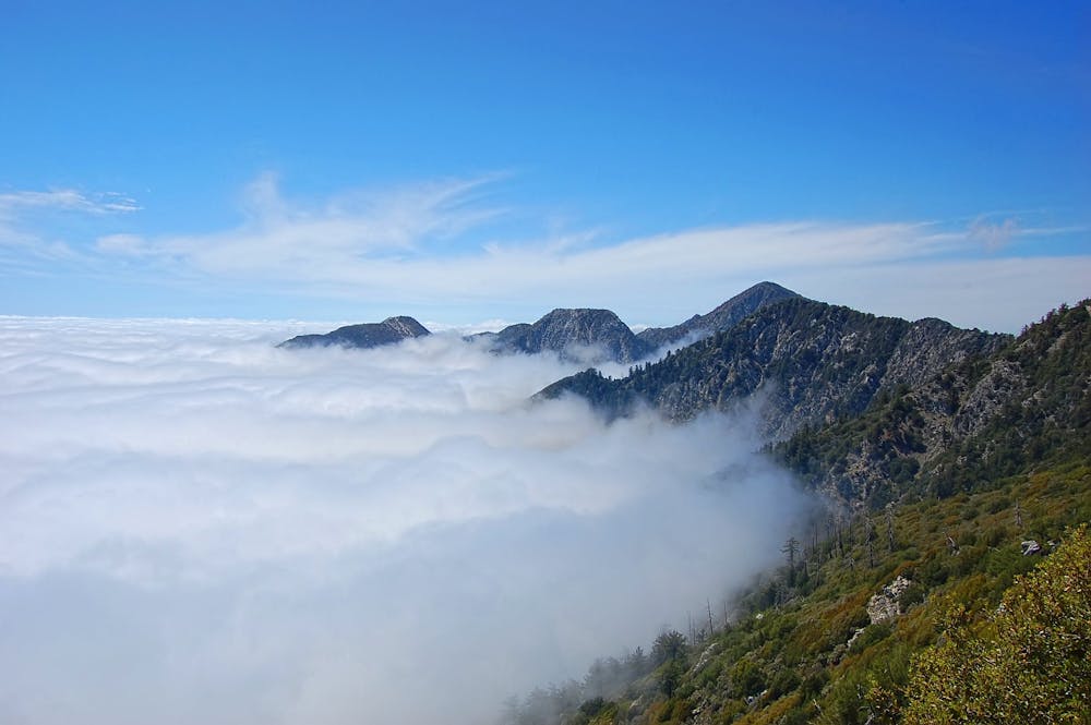
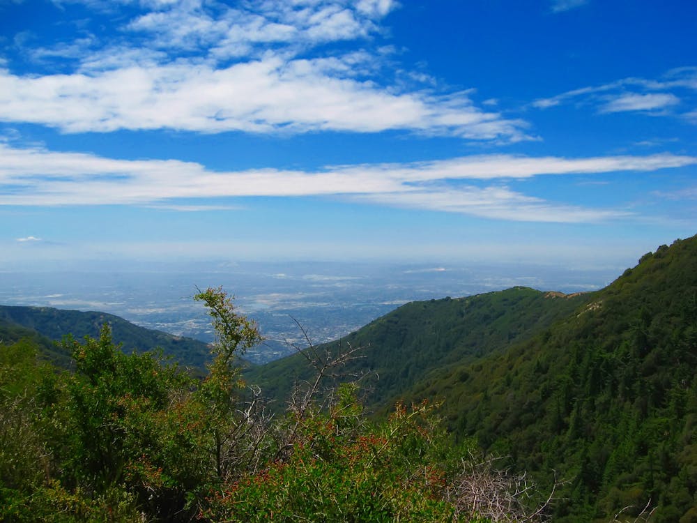
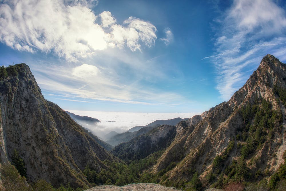
The climb to the mountain top is steep and strenuous. Blocky rock steps are at times so massive that you may be forced to scramble up them. Some sections of trail are extremely narrow and feature steep drop-offs down the mountainside. Other sections of trail provide beautiful dirt to hike on, dipping into deep forest, and then breaking out into scrub oak with beautiful views of the city below.
All things considered, Mount Wilson isn’t an extremely dangerous trail by any stretch of the imagination. The most challenging aspect of conquering the climb is the distance and the elevation gain. If you seek to climb all the way to the summit and hike back down, you must be just as prepared as you would for a remote peak hike in the Sierras, even though you begin in suburbia.
That said, there are ways to shorten this hike, as a paved road runs all the way to the summit, where the Mount Wilson Observatory is located. You could easily set up a shuttle so you only have to do the hike one-way—either uphill or downhill, depending on your preference.
However you choose to tackle Mount Wilson, you’re in for a rare Los Angeles hiking gem!
Severe
Hiking challenging trails where simple scrambling, with the occasional use of the hands, is a distinct possibility. The trails are often filled with all manner of obstacles both small and large, and the hills are very steep. Obstacles and challenges are often unexpected and can be unpredictable.

Some trail sections have exposed ledges or steep ascents/descents where falling could cause serious injury.

Away from help but easily accessed.
3.7 km away
Full-value loop combining Sturtevant Falls, Mt. Zion summit, and swimming holes in Big Santa Anita Canyon.
Difficult Hiking
3.7 km away
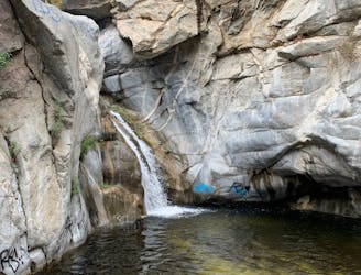
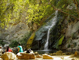
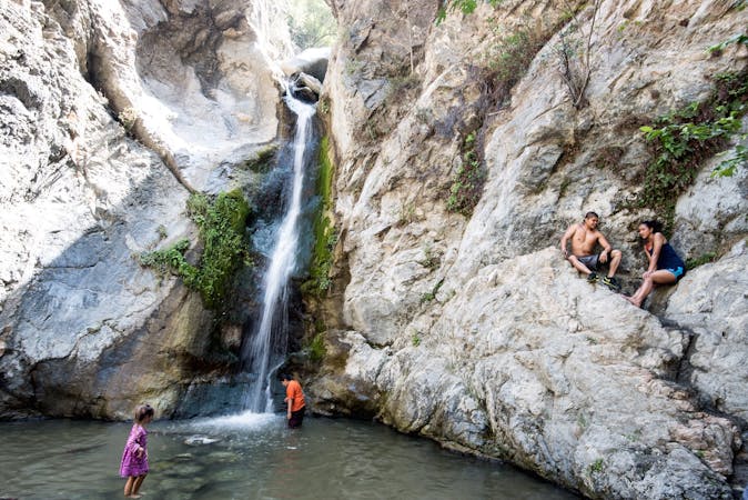
Small waterfalls and swimming holes tucked away in Big Santa Anita Canyon.
Moderate Hiking
4.5 km away
Very popular hike to one of LA-area's favorite waterfalls.
Moderate Hiking
8.4 km away
Historic path to a ruined resort and one of the best views over Pasadena, plus the waterfalls of Rubio Canyon.
Difficult Hiking
8.4 km away
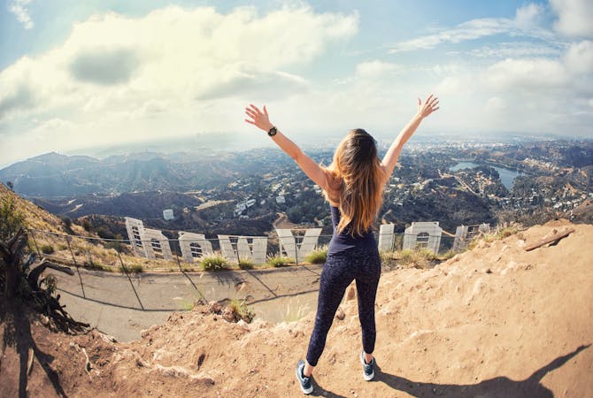
Incredibly scenic uphill journey linking multiple overlooks in the San Gabriel Mountains.
Difficult Hiking
17 routes · Hiking
12 routes · Hiking
9 routes · Hiking

10 routes · Hiking