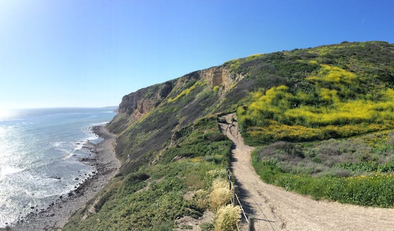
Echo Mountain Loop
Historic path to a ruined resort and one of the best views over Pasadena, plus the waterfalls of Rubio Canyon.
Difficult Hiking
- Distance
- 9.1 km
- Ascent
- 557 m
- Descent
- 557 m
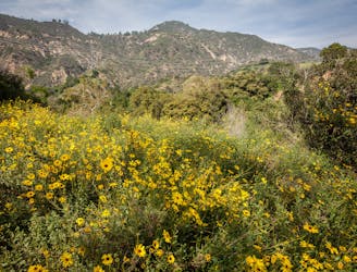
Incredibly scenic uphill journey linking multiple overlooks in the San Gabriel Mountains.
Hiking Difficult

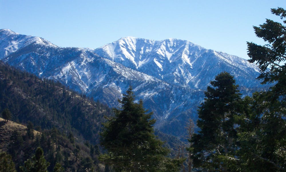
Muir Peak, named for the famous conservationist John Muir, is a worthy summit and a challenging hike, though it’s not one of the major peaks of the San Gabriels. The view on top is just as far-reaching as from others, though. You can see over LA and surrounding cities to the ocean and Catalina Island. What makes Muir Peak special is the 360-degree panorama from its treeless summit, plus the solitude you’re likely to find on this lesser-visited peak. This hike is best on a cool but clear day, like in the winter when sun exposure is more welcome and the horizon less hazy.
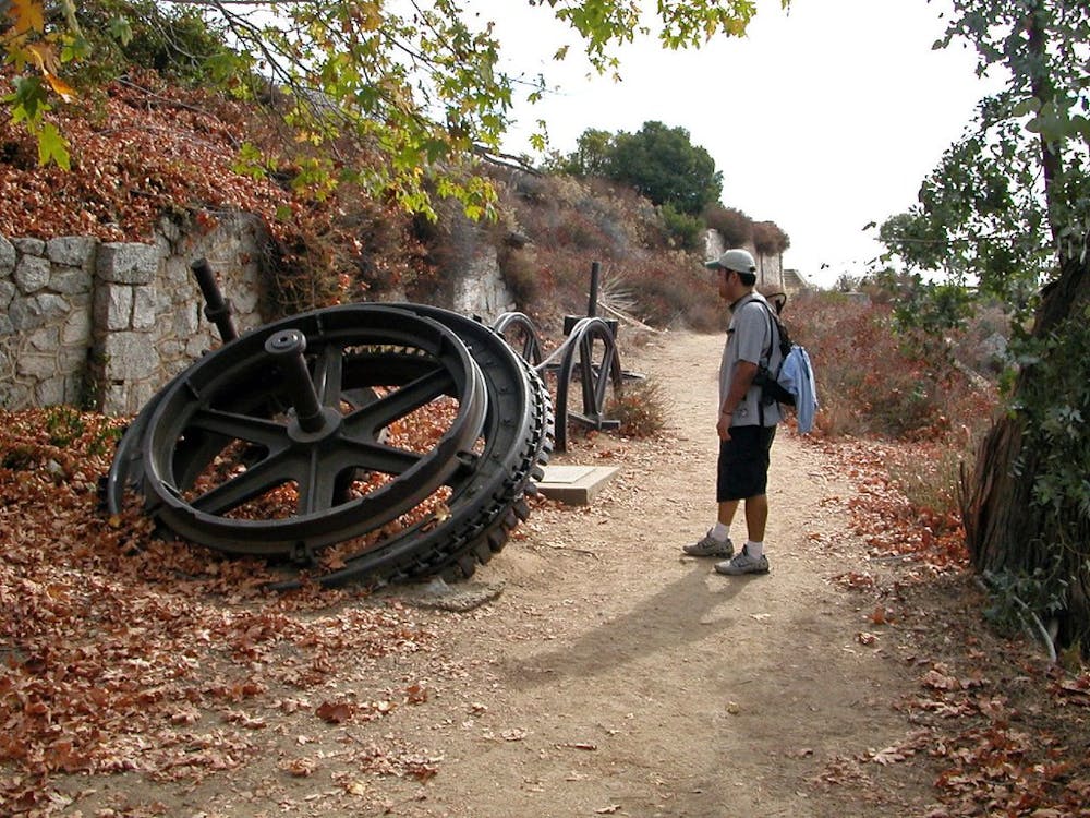
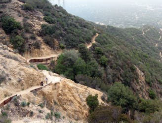
The journey to the summit includes plenty of additional highlights as well. First come the panoramic switchbacks on Sam Merrill Trail as you climb into the foothills from Cobb Estate. Then there are the White City Ruins on Echo Mountain—remains of a resort that stood more than a century ago. From there, the climb continues through Castle Canyon. It’s the most rugged trail on this hike, but also the shadiest. Oaks and sycamores grow thick in the steep drainage, providing welcome relief as the sun rises higher.
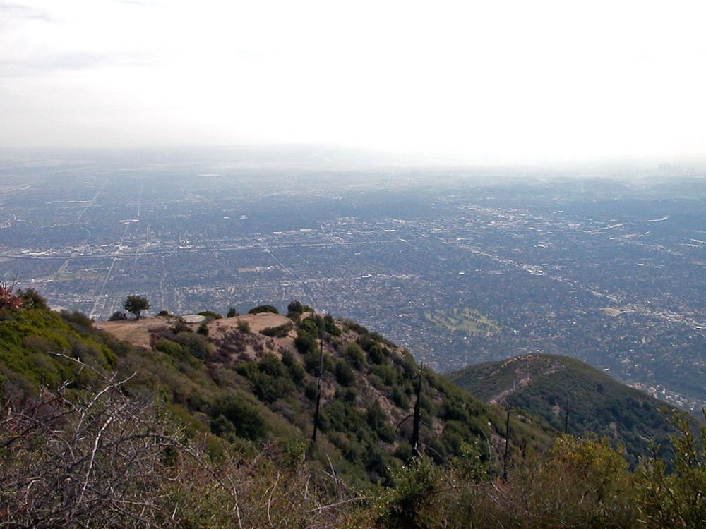
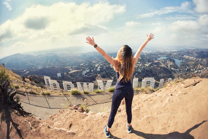
Castle Canyon tops out and meets with a wide dirt trail next to Inspiration Point, which is a spot worth spending time at. It’s a commanding overlook of the valley below, with a shade structure and sighting tubes aimed at different landmarks and labeled accordingly. Look through them to see Hollywood and other cities of the valley, as well as distant mountains.
From Inspiration Point, the trail leads gently uphill the rest of the way to Muir Peak, with a final steep section reaching the top. The summit is wide and relatively flat, vegetated only by shrubs that leave the grand view unobstructed.
The route mapped here returns downhill the same way, but a slightly longer alternative is to make a lollipop loop by continuing westward past Inspiration Point, then taking Middle Sam Merrill Trail to link with Lower Sam Merrill Trail.
Sources: https://www.summitpost.org/muir-peak/296418 https://hikingangelesforest.com/hikes/trailheads/cobb-estate-trailhead/muir-peak-and-inspiration-peak-lollipop-from-the-cobb-estate/
Difficult
Hiking trails where obstacles such as rocks or roots are prevalent. Some obstacles can require care to step over or around. At times, the trail can be worn and eroded. The grade of the trail is generally quite steep, and can often lead to strenuous hiking.

The trail contains some obstacles such as outcroppings and rock which could cause injury.
Away from help but easily accessed.
Historic path to a ruined resort and one of the best views over Pasadena, plus the waterfalls of Rubio Canyon.
Difficult Hiking
4.2 km away
Very popular hike to one of LA-area's favorite waterfalls.
Moderate Hiking
7 km away
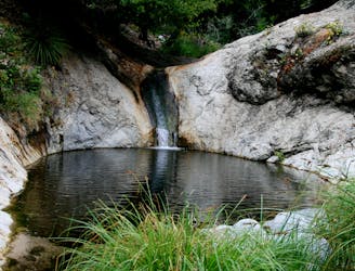
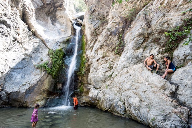
Hike down a forested canyon to find multiple waterfalls and small swimming holes.
Moderate Hiking
8.4 km away
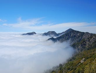
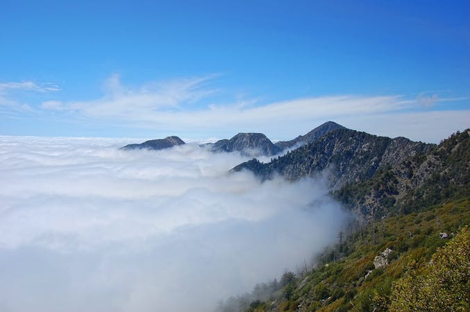
Towering above the Los Angeles metro area, Mount Wilson is a formidable—but rewarding—objective.
Severe Hiking
17 routes · Hiking
12 routes · Hiking
9 routes · Hiking
10 routes · Hiking