6.4 km away
Tuolumne Grove
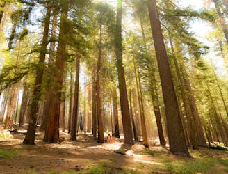
A lesser-visited sequoia grove in Yosemite National Park.
Easy Hiking
- Distance
- 4.4 km
- Ascent
- 203 m
- Descent
- 203 m
A little-known trail to a well-known summit on the rim of Yosemite Valley.
Hiking Difficult

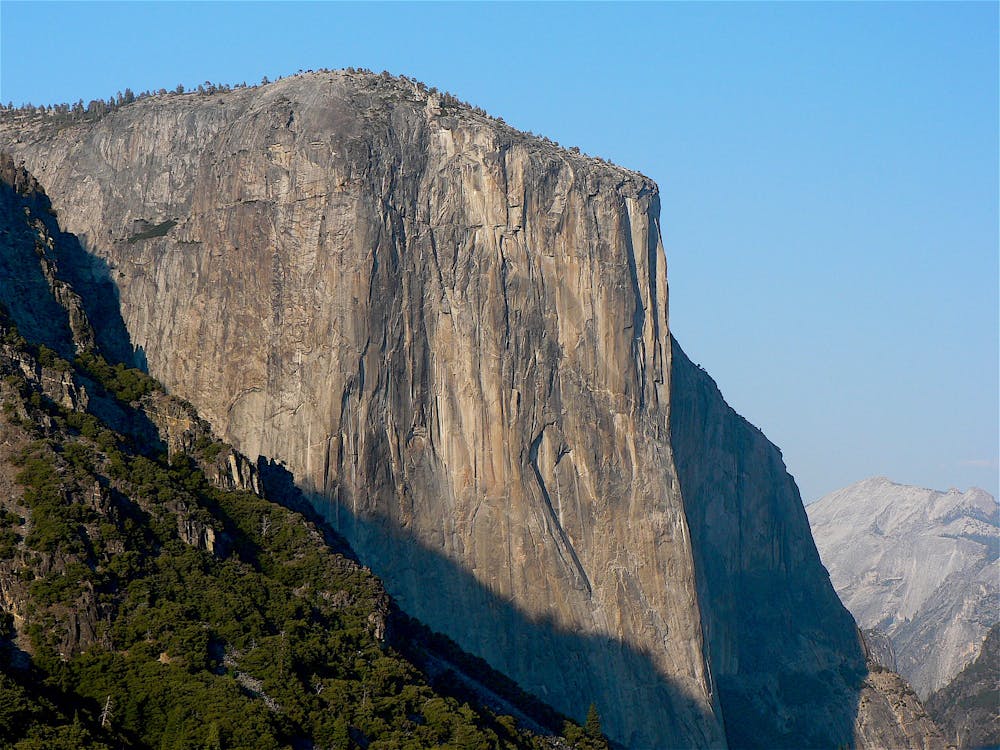
El Capitan is one of the tallest vertical rock features in North America. Climbers from all over the world travel to Yosemite to scale its daunting face, but not every side is sheer. Hiking trails reach its summit as well. None of them are easy, but the hike from Tamarack Flat is the shortest and requires the least elevation gain.
It’s still an all-day or overnight hike with lots of ups and downs, and rugged in some places. It’s a remote and lesser-traveled trail, perfect for experienced hikers who enjoy solitude. A wilderness permit is required if you wish to camp along the trail, but no permit is necessary for day hiking.
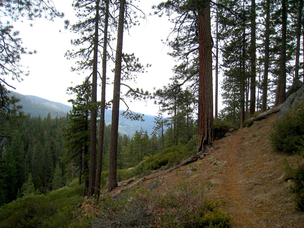
The trailhead is at Tamarack Flat Campground, reached by a rough dirt road. Camping here is ideal if you want to complete the hike in one day, but sites are first-come, first-served, so you can’t count on getting one. A small dirt lot at the edge of the campground is the trailhead, which at first follows an old road but later turns into a footpath.
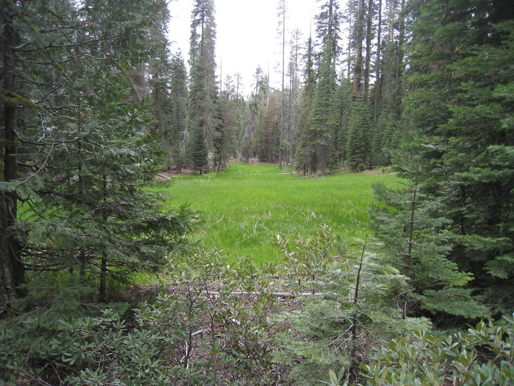
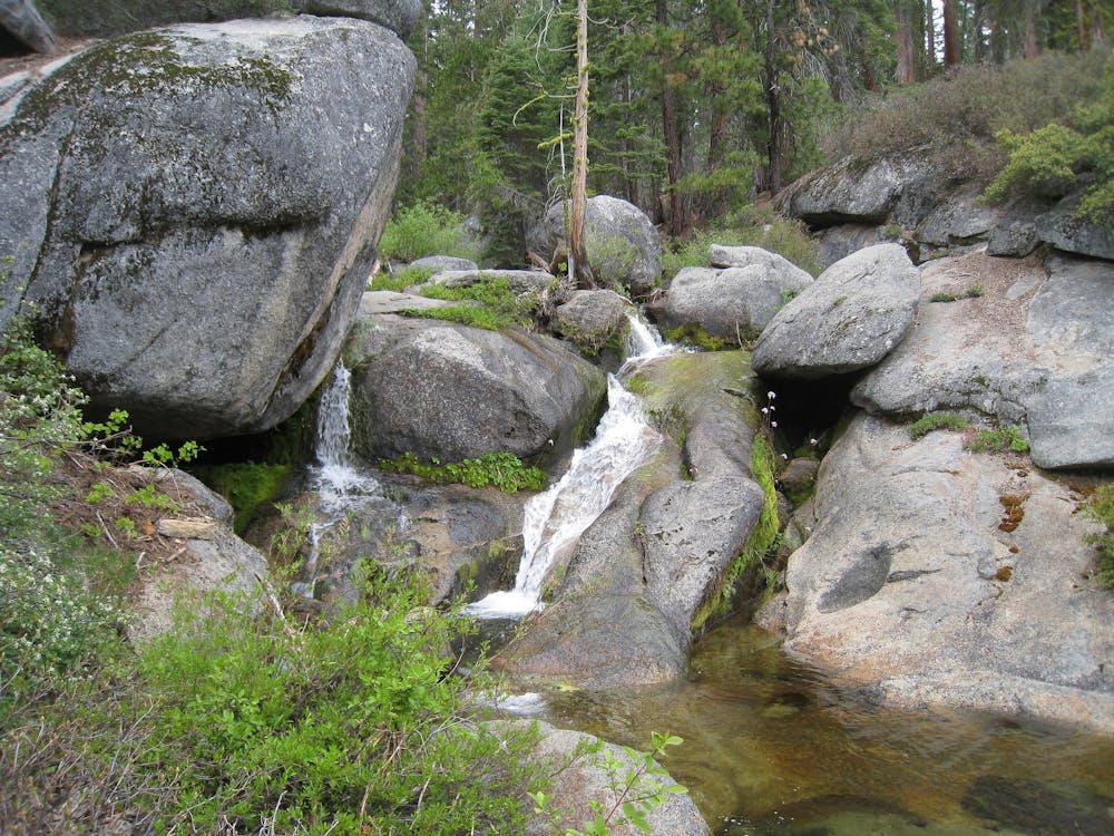
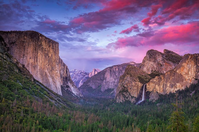
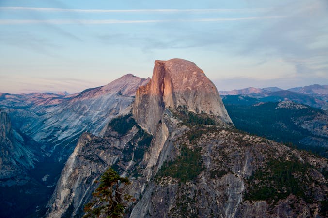
This hike is an excellent tour of nature at the rim of Yosemite’s high country. It undulates among dense pine forest, verdant creek drainages, the sparsely-treed subalpine, and bare-rock ridges. The views are interesting and varied the whole way, but of course, the highlight comes at the very end, on the summit of El Capitan.
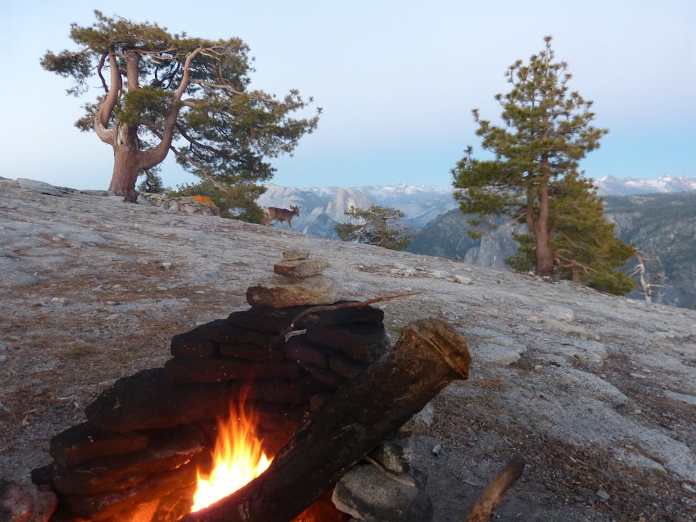
The walk to the top is on a gently sloped ridgeline dotted with trees and shrubs. It’s unassuming at first, but views open up as you continue. After cresting the top of its domed summit, you’ll see Yosemite Valley unfolding below. There’s no direct view to the valley floor unless you creep close to the sheer edge, but even from a safe location, you can see quite a lot. You’ll gaze across to opposing cliffs, Sierra peaks lining the horizon, and the sheer face of Half Dome up the valley.
There are campsites near the summit, but they are exposed to weather and are far from a water source. If you can sacrifice the novelty of sleeping on top of El Cap, more comfortable backcountry camping can be found earlier along the trail, under the shelter of trees and closer to a creek.
Sources: https://www.nps.gov/yose/planyourvisit/upload/valleyhikes.pdf http://randyswaypoints.blogspot.com/2013/07/tamarack-flat-to-el-capitan.html
Difficult
Hiking trails where obstacles such as rocks or roots are prevalent. Some obstacles can require care to step over or around. At times, the trail can be worn and eroded. The grade of the trail is generally quite steep, and can often lead to strenuous hiking.

The trail contains some obstacles such as outcroppings and rock which could cause injury.

Little chance of being seen or helped in case of an accident.
6.4 km away
A lesser-visited sequoia grove in Yosemite National Park.
Easy Hiking
8.2 km away
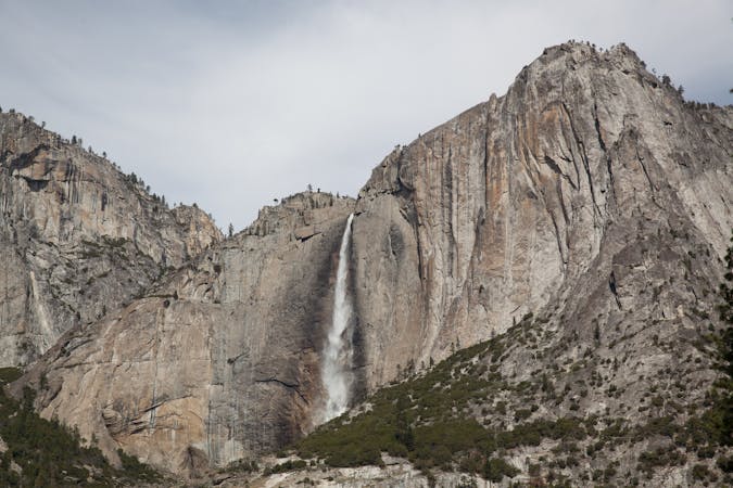
Paved trail to the base of a 620-foot waterfall.
Easy Hiking
13 routes · Hiking
6 routes · Hiking · Road Biking
7 routes · Hiking
9 routes · Hiking

14 routes · Hiking