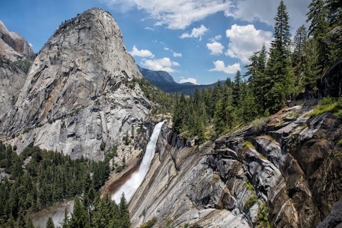
Mist Trail to Vernal and Nevada Falls
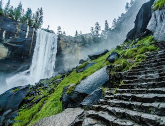
A stunning hike up steep climbs, passing close to Vernal and Nevada Falls.
Difficult Hiking
- Distance
- 11 km
- Ascent
- 753 m
- Descent
- 752 m
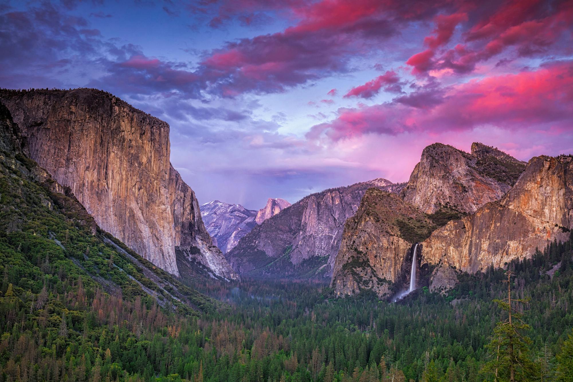
Explore Yosemite National Park with curated guides of the best hiking trails, trail running routes, and more. With over 46 3D trail maps in FATMAP, you can easily discover and navigate the best trails in Yosemite National Park.
No matter what your next adventure has in store, you can find a guide on FATMAP to help you plan your next epic trip.
Get a top trail recommendation in Yosemite National Park from one of our 11 guidebooks, or get inspired by the 46 local adventures uploaded by the FATMAP community. Start exploring now!


A stunning hike up steep climbs, passing close to Vernal and Nevada Falls.
Difficult Hiking
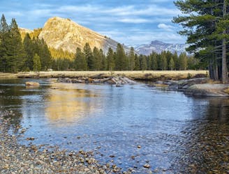
Miles 942.5-1016.9 of the northbound PCT: Continuing through the northern reaches of Yosemite National Park, among a labyrinth of granite far removed from the park’s crowded areas.
Moderate Hiking
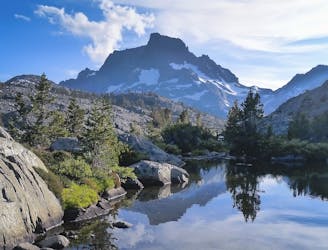
Miles 906.7-942.5 of the northbound PCT: From Devils Postpile National Monument to Yosemite National Park, through the photo-famous landscape of Ansel Adams Wilderness.
Moderate Hiking
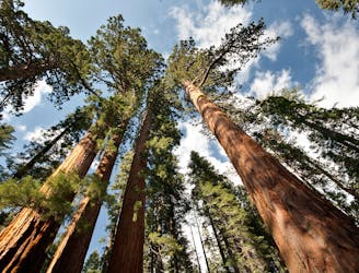
The largest and most famous grove of giant sequoias in Yosemite National Park.
Easy Hiking
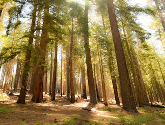
A lesser-visited sequoia grove in Yosemite National Park.
Easy Hiking
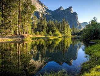
Make the arduous climb to Upper Yosemite Falls, then go even farther to find the highest point on this side of Yosemite Valley.
Difficult Hiking
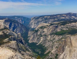
A great full-day trail-run along a premier route high above the Yosemite Valley.
Severe Trail Running
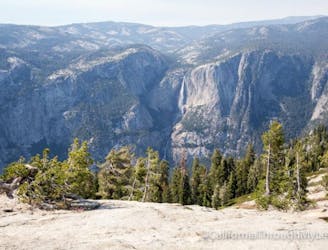
An out-and-back from Glacier Point Road to the summit of Sentinel Dome.
Moderate Trail Running
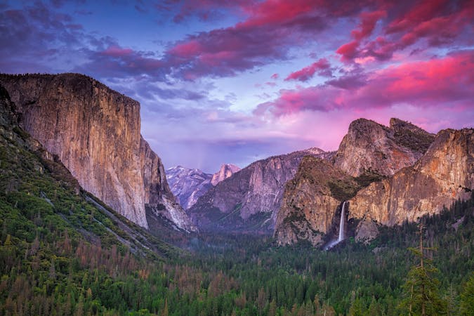
13 routes · Hiking
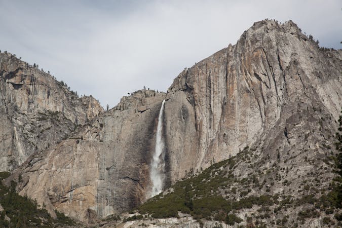
6 routes · Hiking · Road Biking
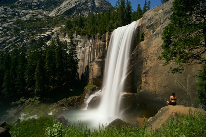
7 routes · Hiking
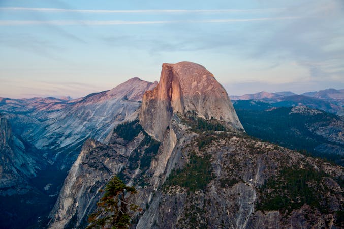
9 routes · Hiking
6 routes · Trail Running

25 routes · Alpine Climbing · Hiking
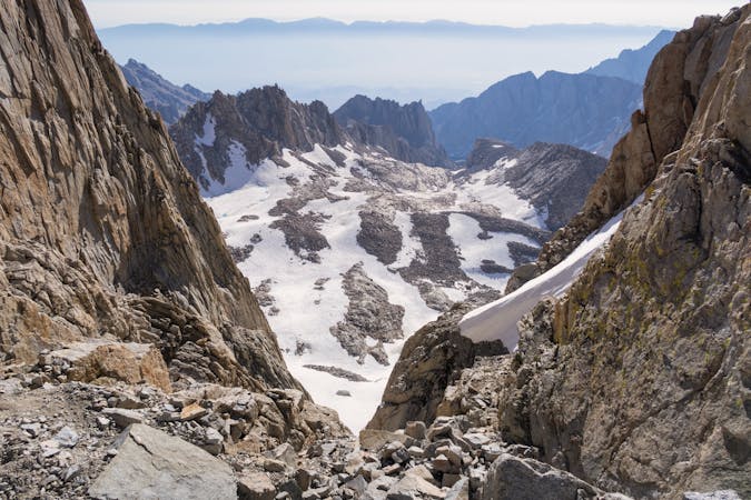
5 routes · Alpine Climbing · Hiking
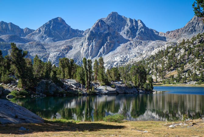
7 routes · Hiking