30 m away
Mist Trail to Vernal and Nevada Falls
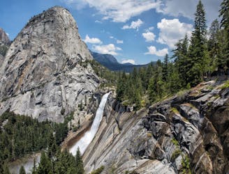
A stunning trail run up steep climbs, passing close to Vernal and Nevada Falls.
Difficult Trail Running
- Distance
- 11 km
- Ascent
- 753 m
- Descent
- 752 m

A great full-day trail-run along a premier route high above the Yosemite Valley.
Trail Running Severe

The Clouds Rest Trail is the ultimate day-trip trail run based in Yosemite Valley. It courses nearly 30km with nearly 2000m of elevation gain on a lollipop route beginning and ending in Yosemite Valley.
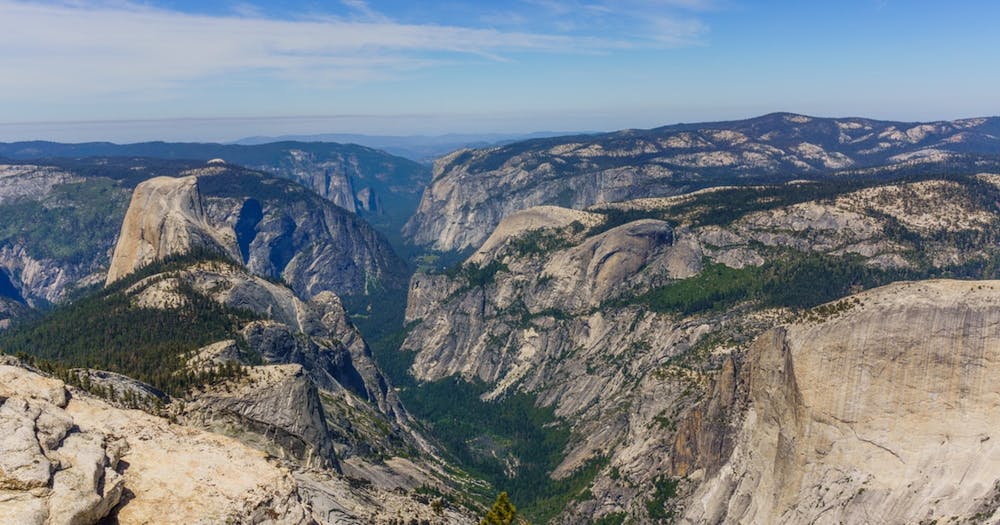
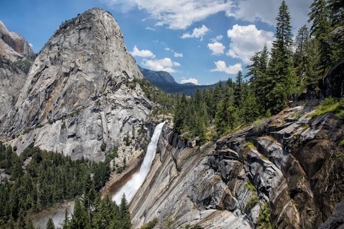
Like the Mist Trail and Half Dome Trail routes in this guidebook, runners taking on the Clouds Rest Trail will take in the Vernal and Nevada Falls, Liberty Cap, as well as the stunning Half Dome, within the first section of the route. However, once past Half Dome, trail-runners have the opportunity to course through the wilderness, the Pinnacles, the summit of Clouds Rest (3028m), and, at the far end of the route, view into the sacred Tenaya Canyon.
The route follows the same trail as for Mist Trail and Half Dome Trail, climbing steeply up a set of switchbacks above Vernal and Nevada Falls until you reach Little Yosemite Valley campground. From here, the route ascends another few dozen switchbacks before heading east (right) of the Half Dome Trail and continuing upward through the forest to the ridge on which the Pinnacles and Clouds Rest are located. The route tops out on the summit of Clouds Rest (3028m) and continues along the ridge, descending now in a north-northeast direction before continuing in a clockwise fashion, looping back towards the south-southwest. The route meets up with the ascent trail below Moraine Dome. From here, you'll folloow the ascent route back to the trailhead.
If you have a full day’s worth of desire to run, the Clouds Rest Trail is not to be missed!
One major benefit of the Clouds Rest Trail is that no permit is needed. Therefore, those who did not plan to get a permit or who were unlucky in the lottery for Half Dome Trail can tackle this route without hesitation.
Severe
30 m away

A stunning trail run up steep climbs, passing close to Vernal and Nevada Falls.
Difficult Trail Running
48 m away
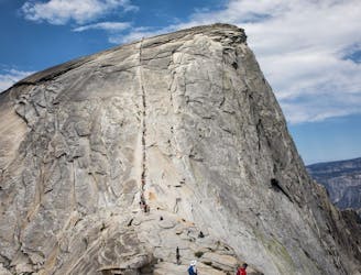
A long day out to the summit of one of the most iconic mountains in the world.
Severe Trail Running
3 km away
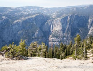
An out-and-back from Glacier Point Road to the summit of Sentinel Dome.
Moderate Trail Running
3.1 km away
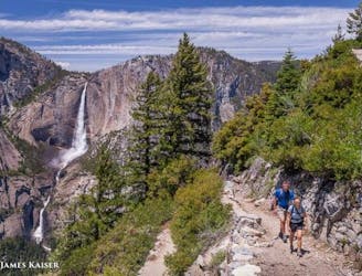
A great out-and-back offering views across Yosemite Valley.
Difficult Trail Running
3.2 km away
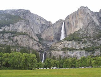
Out-and-back route to reach Yosemite Falls (the lower, middle, and upper falls).
Difficult Trail Running
6 routes · Trail Running