172 m away
Yosemite Falls
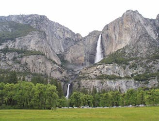
Out-and-back route to reach Yosemite Falls (the lower, middle, and upper falls).
Difficult Trail Running
- Distance
- 12 km
- Ascent
- 1.1 km
- Descent
- 1.1 km
A great out-and-back offering views across Yosemite Valley.
Trail Running Difficult

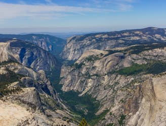
Four Mile Trail is an out-and-back trail that is well used in the Yosemite Valley. Like other trails in the Yosemite Valley trail running guidebook, the Four Mile Trail features waterfalls and spectacular views of iconic Yosemite monuments, including Half Dome, North Dome, El Capitan, and the Yosemite Falls. The trails runs between the Yosemite Valley and Glacier Point.
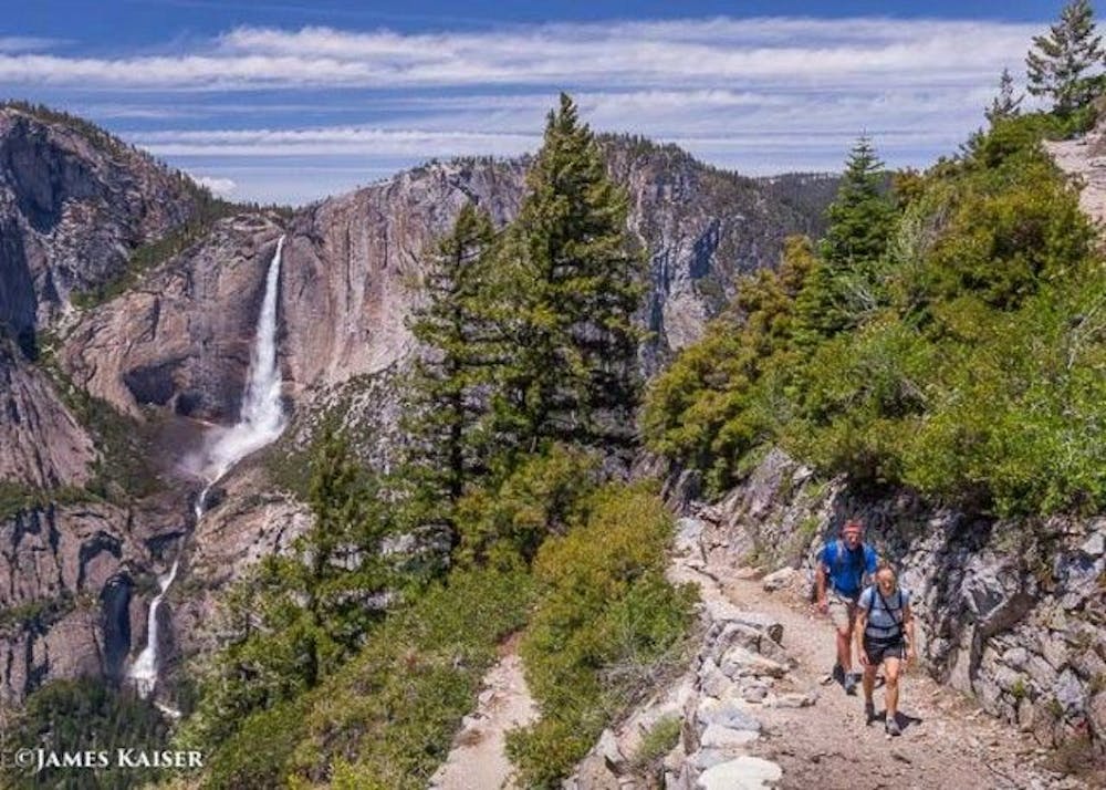
The trail courses steeply at first before traversing around the Sentinel Dome mountain through the forest, and then again switchbacking up to Union Point and beyond to Glacier Point. Like the majority of routes in this guidebook, the trail offers strenuous running, much of which may reduce a runner to a hiker.
The Glacier Point turnaround is at the visitor centre. Runners can continue on for an even longer run by connecting to Panorama Trail, or simply return the way they came back to the valley floor.
Difficult

The path is on completely flat land and potential injury is limited to falling over.

Away from help but easily accessed.
172 m away
Out-and-back route to reach Yosemite Falls (the lower, middle, and upper falls).
Difficult Trail Running
3 km away
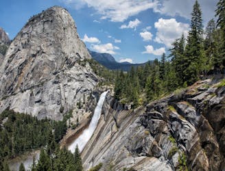
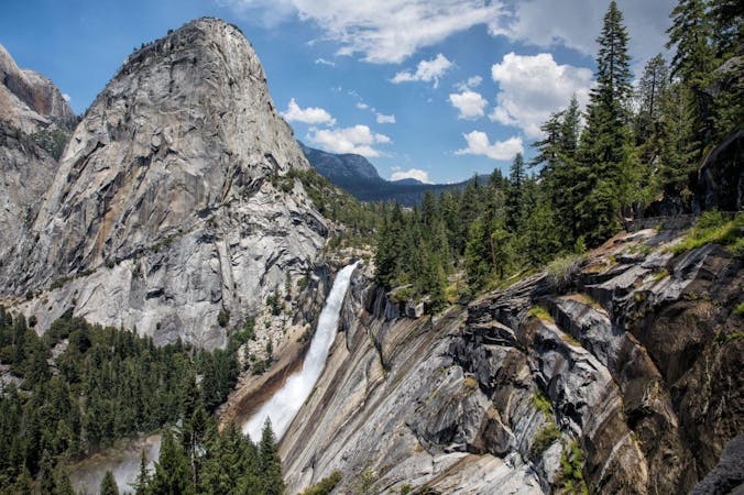
A stunning trail run up steep climbs, passing close to Vernal and Nevada Falls.
Difficult Trail Running
3.1 km away
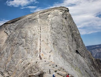
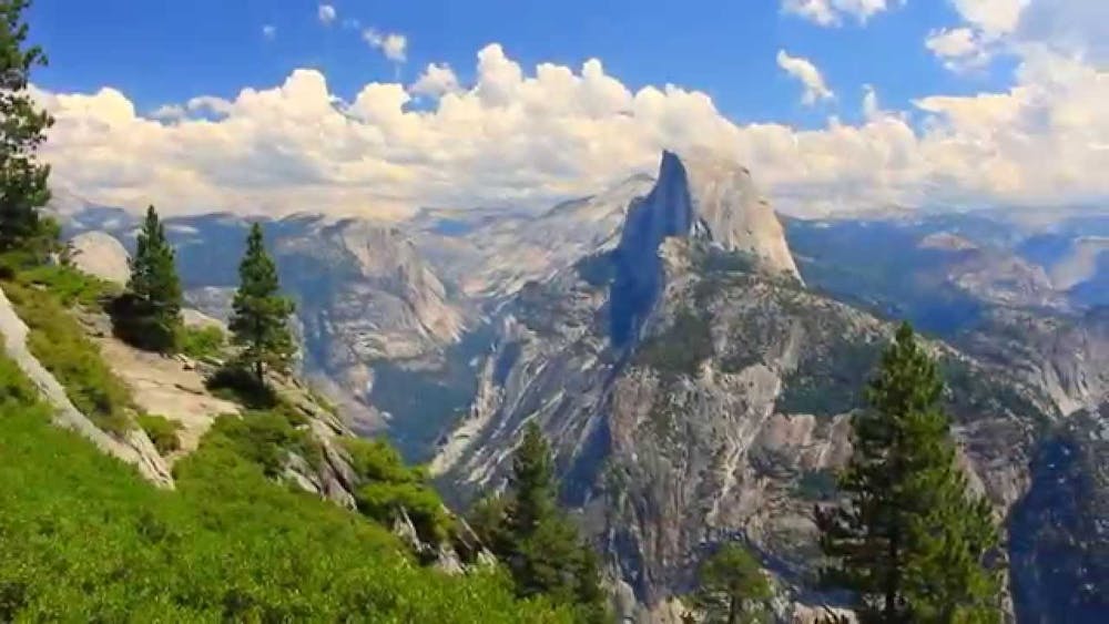
A long day out to the summit of one of the most iconic mountains in the world.
Severe Trail Running
3.1 km away
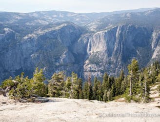
A great full-day trail-run along a premier route high above the Yosemite Valley.
Severe Trail Running
3.5 km away
An out-and-back from Glacier Point Road to the summit of Sentinel Dome.
Moderate Trail Running
6 routes · Trail Running