3 km away
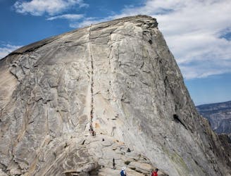
Clouds Rest
A great full-day trail-run along a premier route high above the Yosemite Valley.
Severe Trail Running
- Distance
- 35 km
- Ascent
- 2 km
- Descent
- 2 km
An out-and-back from Glacier Point Road to the summit of Sentinel Dome.
Trail Running Moderate

The Sentinel Dome Trail is the shortest option within this guidebook. It is an out-and-back from the Glacier Point Road and travels upwards to the summit of Sentinel Dome – one of Yosemite’s high domes. Compared to the other routes in the guidebook, the Sentinel Dome Trail is more moderate in both elevation gained and distance, making it a relatively easier effort.
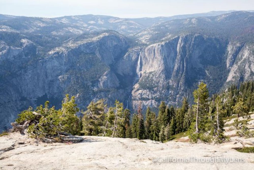
The trail does not feature kilometres of steep switchbacking trail. Rather, it begins with crossing a stream via a bridge and gradually climbs the slope on a granite floor within a pine forest. Runners exit the gradually climbing trail through the forest and meet the base of the exposed dome.
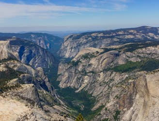
The turnaround point is the summit of Sentinel Dome. Runners ought to take in the spectacular view before turning heels and cascading back downwards through the forest to Glacier Point Road. This trail run is an amazingly pleasant way to take in much of the Yosemite Valley—Half Dome, El Capitan, North Dome, the plethora of waterfalls, and the summit of one of the park’s great domes.
Moderate

The path is on completely flat land and potential injury is limited to falling over.

Away from help but easily accessed.
3 km away
A great full-day trail-run along a premier route high above the Yosemite Valley.
Severe Trail Running
3.1 km away
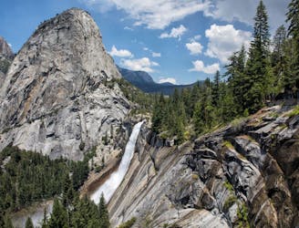
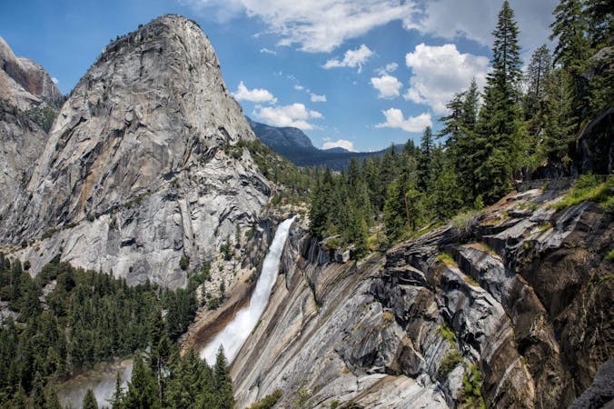
A stunning trail run up steep climbs, passing close to Vernal and Nevada Falls.
Difficult Trail Running
3.1 km away
A long day out to the summit of one of the most iconic mountains in the world.
Severe Trail Running
3.5 km away
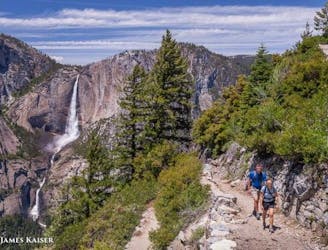
A great out-and-back offering views across Yosemite Valley.
Difficult Trail Running
3.6 km away
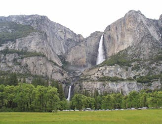
Out-and-back route to reach Yosemite Falls (the lower, middle, and upper falls).
Difficult Trail Running
6 routes · Trail Running