5.2 km away
Eagle Peak via Yosemite Falls
Make the arduous climb to Upper Yosemite Falls, then go even farther to find the highest point on this side of Yosemite Valley.
Difficult Hiking
- Distance
- 17 km
- Ascent
- 1.4 km
- Descent
- 1.4 km
Paved trail to the base of a 620-foot waterfall.
Hiking Easy

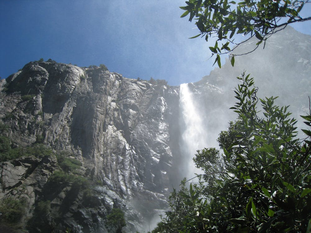
Bridalveil is the most accessible of Yosemite National Park’s many iconic waterfalls. It is likely the first one you’ll notice when driving into the park because it’s close to the road near the entrance to the valley. Bridal Veil is 620 feet tall and flows year round, in a thundering column in May and June, and in a wispy spray during drier months. Winter brings a backsplash of ice on the cliff behind it.

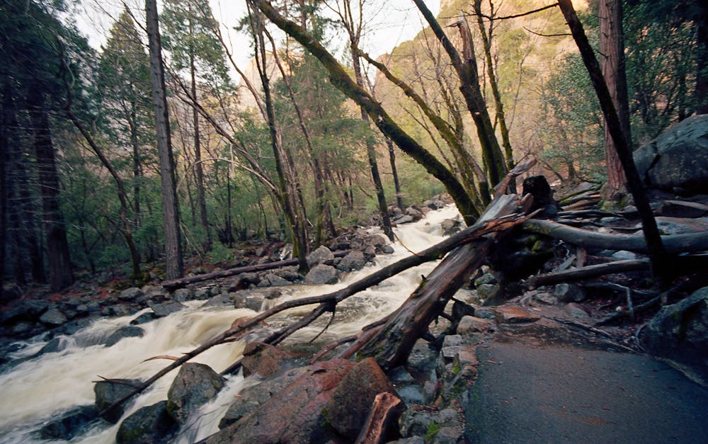
You can hike to a closer view on the Bridalveil Fall Trail, which is paved but still a bit steep near the end. It leads through shady mixed conifer and oak woodland beside a rushing stream that comes from the falls. Its water has just plummeted hundreds of feet from the rim of the valley.
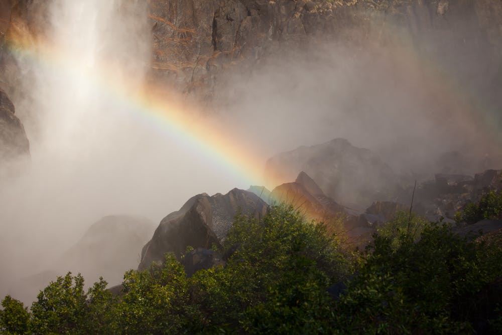
At the vista point, you’ll look straight up at Bridalveil. During times of high flow, you will be in the powerful spray. During low flow, the spot stays dry, and it’s possible to continue up the streambed to reach the pool below the fall, but use caution because the rocks are slick and can be dangerous.
Source: https://www.nps.gov/yose/planyourvisit/bridalveilfalltrail.htm
Easy
Walking along a well-kept trail that’s mostly flat. No obstacles are present.

The path is on completely flat land and potential injury is limited to falling over.
Close to help in case of emergency.
5.2 km away
Make the arduous climb to Upper Yosemite Falls, then go even farther to find the highest point on this side of Yosemite Valley.
Difficult Hiking
5.2 km away
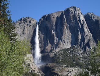
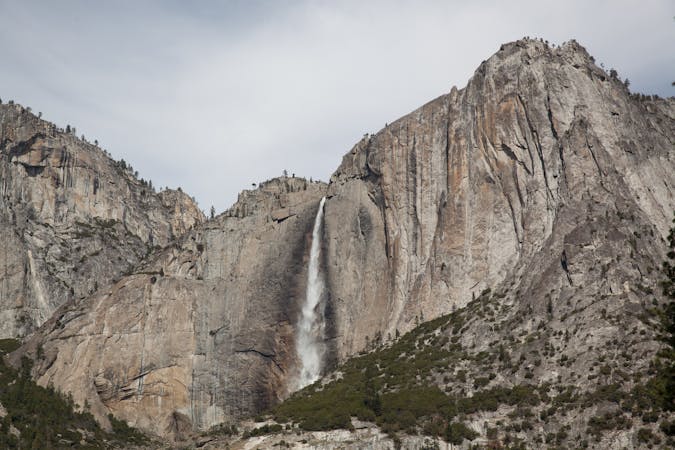
Steep hike to the top of North America's tallest waterfall.
Difficult Hiking
5.5 km away

A sun-dappled 1.8 mile stroll through the woods leading you to a meadow filled with wildflowers and a babbling brook.
Easy Hiking
5.7 km away
A hike through the forest to a panoramic viewpoint over Yosemite Valley.
Easy Hiking
5.7 km away
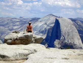
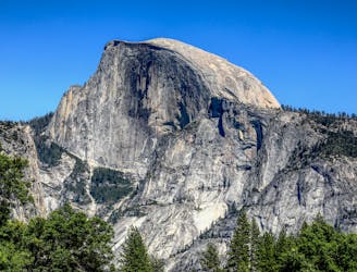
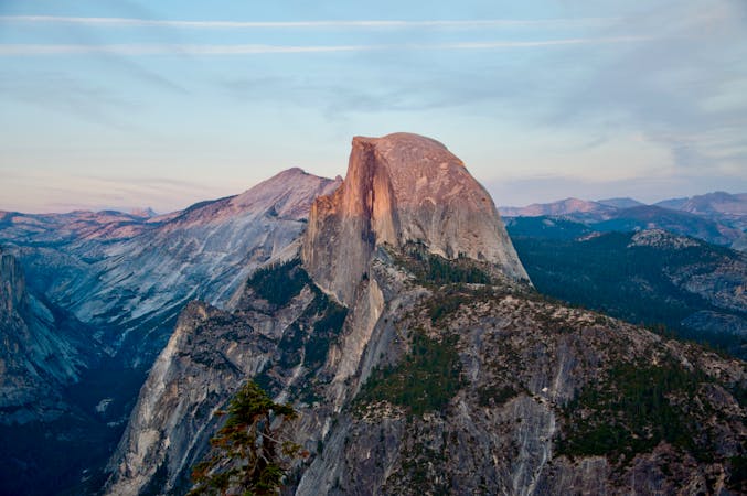
Birds-eye view of the Valley atop one of Yosemite's higher granite domes.
Moderate Hiking
6.9 km away
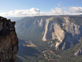
Hike at the brink of a huge waterfall and along the precipitous rim of Yosemite Valley.
Difficult Hiking
7.7 km away
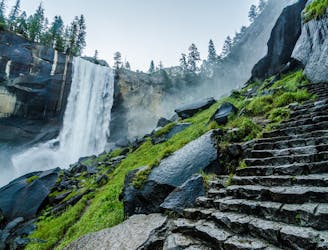
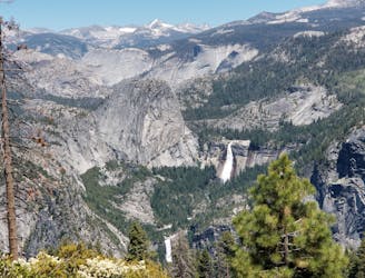
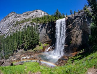
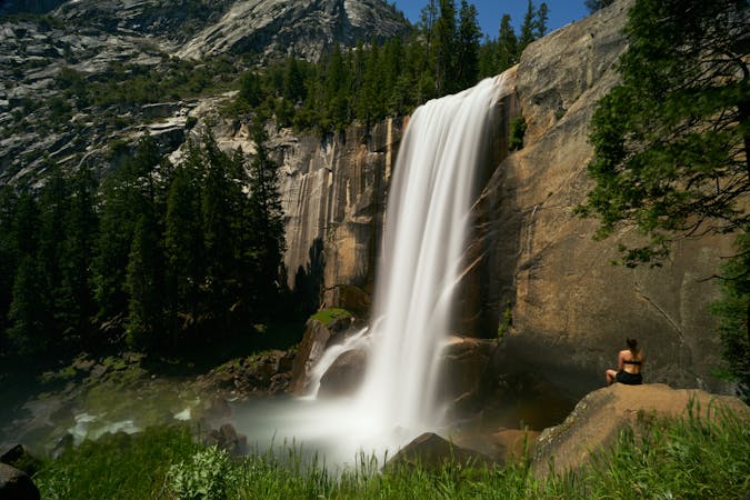
A stunning hike up steep climbs, passing close to Vernal and Nevada Falls.
Difficult Hiking
7.7 km away
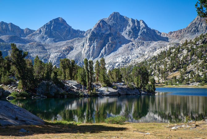
Thru hike of the California’s Sierra Nevada, linking the most impressive alpine scenery from Yosemite National Park to Mount Whitney.
Difficult Hiking
7.7 km away
An exciting hike to the summit of one of North America's most iconic peaks.
Extreme Hiking
7.7 km away
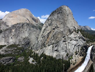
Connect two of Yosemite's great waterfalls in a concise but strenuous loop
Difficult Hiking
13 routes · Hiking
6 routes · Hiking · Road Biking
7 routes · Hiking
9 routes · Hiking

25 routes · Alpine Climbing · Hiking

5 routes · Alpine Climbing · Hiking
7 routes · Hiking

63 routes · Alpine Climbing · Hiking