4 m away
Eagle Peak via Yosemite Falls
Make the arduous climb to Upper Yosemite Falls, then go even farther to find the highest point on this side of Yosemite Valley.
Difficult Hiking
- Distance
- 17 km
- Ascent
- 1.4 km
- Descent
- 1.4 km
Steep hike to the top of North America's tallest waterfall.
Hiking Difficult

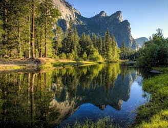
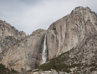
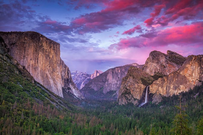
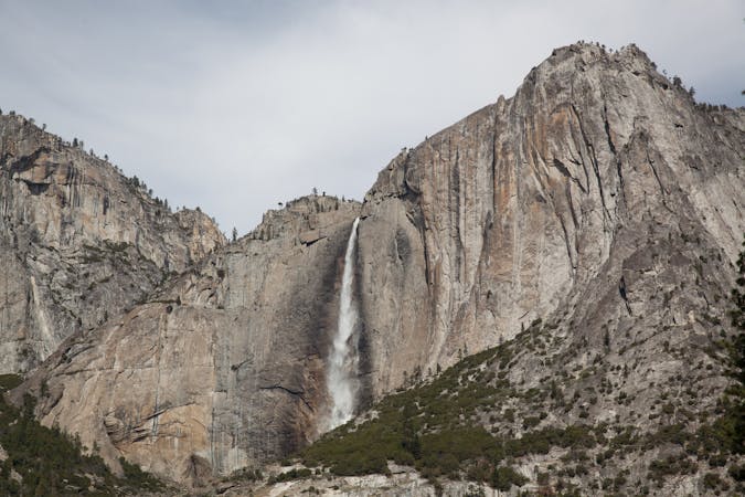
Yosemite Valley is home to numerous waterfalls, but the one that shares the valley’s name might be its most impressive. Yosemite Falls, a series of three cascades that are collectively 2,425 feet tall, is North America’s tallest waterfall. Because they are so tall, and because the middle section is recessed into the cliff, it is impossible to see the whole thing in one view. The best way to experience the entire waterfall is to hike the Yosemite Falls Trail to the very top. This is a strenuous hike with many switchbacks, but it is the only way to reach the view at the lip of Upper Yosemite Fall. From there you can look straight down at its 1400-foot freefall and the middle cascades, plus a commanding view over the valley.
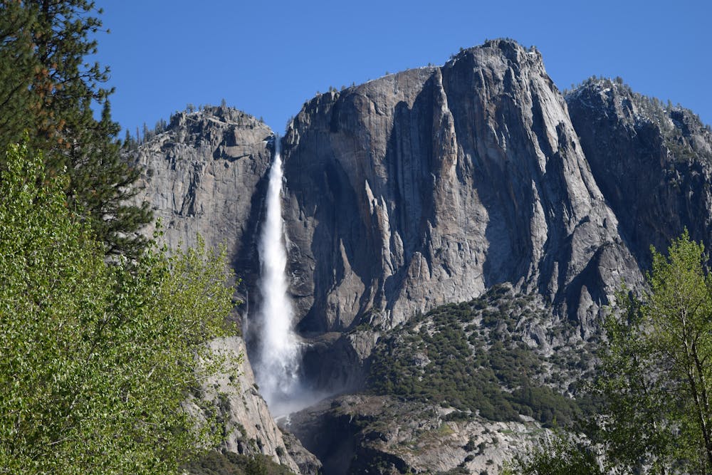
The best time to see Yosemite Falls are April through early July, when the creek is at its highest flows. The falls typically dry up sometime in August after the snow has all melted from the high country. Large rain storms can bring them back for a day or two, but continual flow does not resume until snow returns in winter.
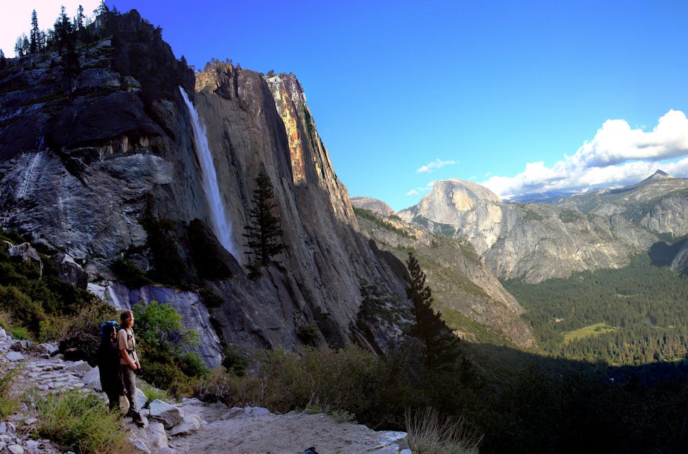
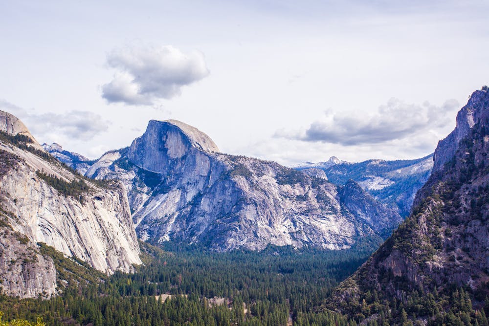
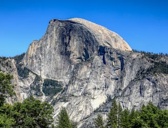
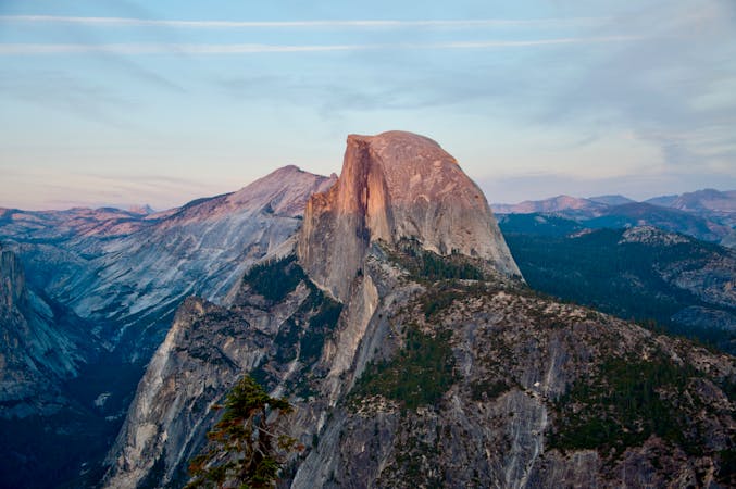
Beginning from the Valley Loop Trail, Yosemite Falls Trail punches uphill immediately. After climbing 1,000 feet in the first mile, you’ll reach a spectacular viewpoint at Columbia Rock. From there you can see Half Dome and an elevated perspective on the valley. Continue half a mile more on easier terrain to a view of Upper Yosemite Fall. This makes a good turnaround point for those not interested in the more strenuous second half of the climb.
If you complete it, you will be rewarded with cliff-top views above the waterfall. Near the top, the trail meets Yosemite Creek, which tumbles listlessly through pools in granite before suddenly plummeting off the cliff. At the cliff’s edge, a handrail protects hikers along the trail, but if you leave the trail you must beware of slick rock and drop-offs. The whole trail is open year-round, but the upper part is not recommended in winter because snow and ice add to the difficulty and danger.
Sources: https://www.nps.gov/yose/planyourvisit/yosemitefallstrail.htm https://www.nps.gov/media/video/view.htm?id=F9F47C55-9AEF-F85D-56530EA405E602C1
Difficult
Hiking trails where obstacles such as rocks or roots are prevalent. Some obstacles can require care to step over or around. At times, the trail can be worn and eroded. The grade of the trail is generally quite steep, and can often lead to strenuous hiking.

The trail contains some obstacles such as outcroppings and rock which could cause injury.
Away from help but easily accessed.
4 m away
Make the arduous climb to Upper Yosemite Falls, then go even farther to find the highest point on this side of Yosemite Valley.
Difficult Hiking
3 km away
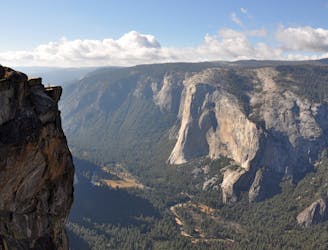
Hike at the brink of a huge waterfall and along the precipitous rim of Yosemite Valley.
Difficult Hiking
3.2 km away
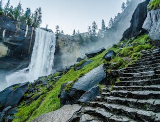
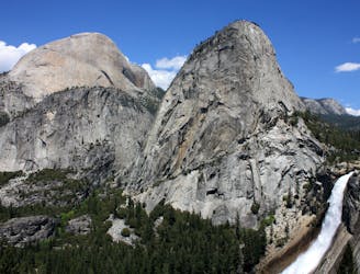
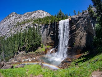
A stunning hike up steep climbs, passing close to Vernal and Nevada Falls.
Difficult Hiking
3.2 km away
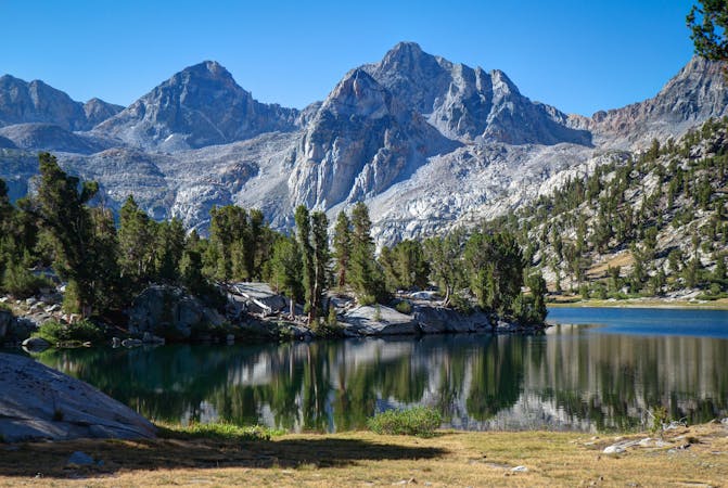
Thru hike of the California’s Sierra Nevada, linking the most impressive alpine scenery from Yosemite National Park to Mount Whitney.
Difficult Hiking
3.2 km away
An exciting hike to the summit of one of North America's most iconic peaks.
Extreme Hiking
3.2 km away
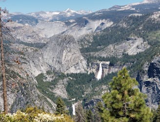
Connect two of Yosemite's great waterfalls in a concise but strenuous loop
Difficult Hiking
3.6 km away
A hike through the forest to a panoramic viewpoint over Yosemite Valley.
Easy Hiking
3.6 km away
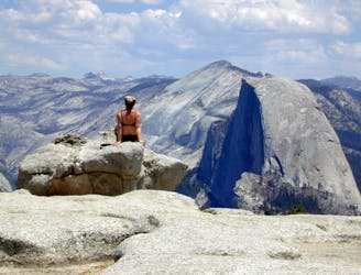
Birds-eye view of the Valley atop one of Yosemite's higher granite domes.
Moderate Hiking
5.2 km away
Paved trail to the base of a 620-foot waterfall.
Easy Hiking
8.3 km away

A sun-dappled 1.8 mile stroll through the woods leading you to a meadow filled with wildflowers and a babbling brook.
Easy Hiking
13 routes · Hiking
6 routes · Hiking · Road Biking
7 routes · Hiking
9 routes · Hiking

25 routes · Alpine Climbing · Hiking

5 routes · Alpine Climbing · Hiking
7 routes · Hiking

63 routes · Alpine Climbing · Hiking