6.4 km away
San Bruno Mountain: Summit Loop Trail
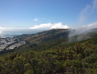
City skyline views from an ecologically diverse mountain in the metro area.
Moderate Hiking
- Distance
- 5.4 km
- Ascent
- 209 m
- Descent
- 209 m
Family and dog-friendly loop featuring sea cliffs, wildflowers, a sandy beach, and historic war forts.
Hiking Moderate

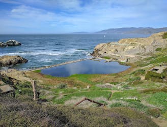
Fort Funston, named for an old military installation, still has defense batteries that you can view up close, but today it's better known for natural scenery, including cliff-top views and hiking among sand dunes. It's also one of the few San Francisco parks with extensive off-leash dog areas, making it quite popular among locals. Note that dogs must be under "voice control" to be allowed off leash, meaning they will hear and obey when called.
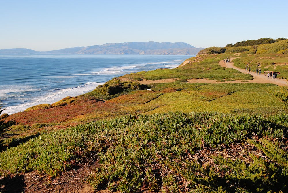
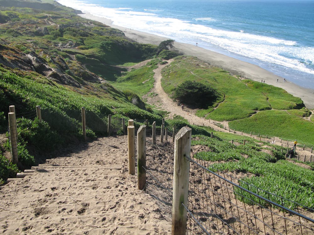
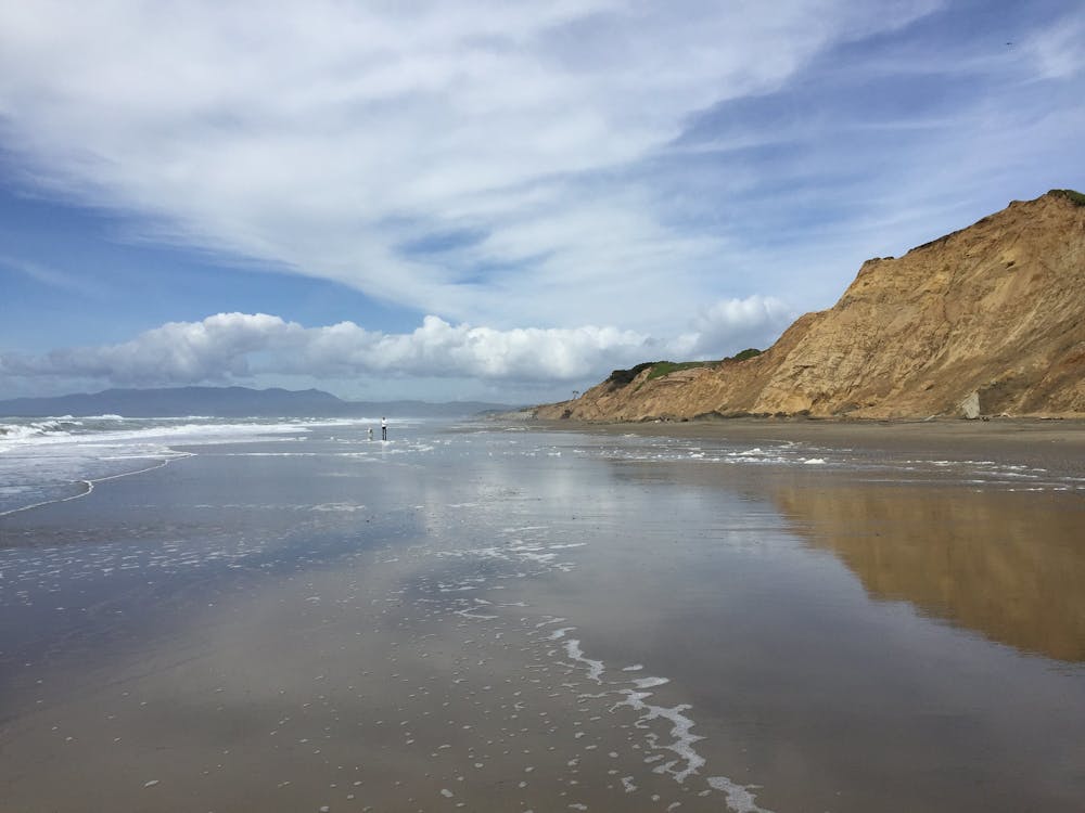
A network of trails leads throughout Fort Funston. The loop mapped here is a suggestion to maximize a variety of scenery and terrain. It follows the Coastal Trail along the top of 200-foot-tall sea cliffs, then finds its way to the beach. Almost all the walking is on sand, and some parts are quite steep, making it a good workout.
Along the way, you'll see the concrete walls of Battery Davis, flowers blooming among wind-swept coastal sedge, lots of seabirds, and maybe even hang-gliders flying overhead. You can get in the water, but it’s not great for swimming due to cold water and strong currents. Note that hiking on the beach may not be safe at high tide when the surf can reach the base of the cliffs. Watch the waves and take care not to get cut off. If the beach is covered, just stick to the higher trails and overlooks.
Sources: https://www.nps.gov/goga/planyourvisit/fortfunston.htm https://www.parksconservancy.org/parks/fort-funston https://www.nps.gov/goga/getinvolved/upload/Map16Fort-Funstonv4.pdf
Moderate
Hiking along trails with some uneven terrain and small hills. Small rocks and roots may be present.

The trail contains some obstacles such as outcroppings and rock which could cause injury.

Close to help in case of emergency.
6.4 km away
City skyline views from an ecologically diverse mountain in the metro area.
Moderate Hiking
7.4 km away
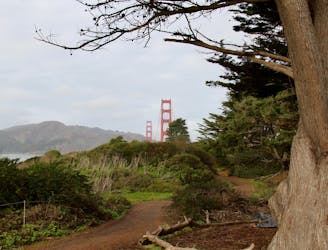
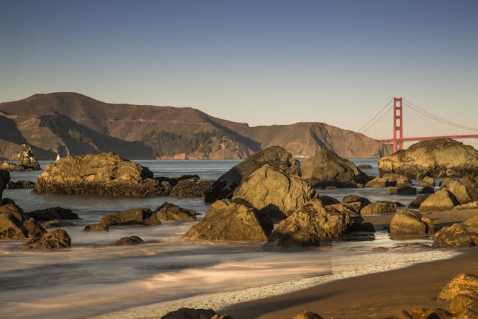
On the Lands End Trail you'll stroll through historic Lands End, in a beautiful forest, atop high sea cliffs, with lofty views of the Golden Gate Bridge.
Moderate Hiking
8.7 km away
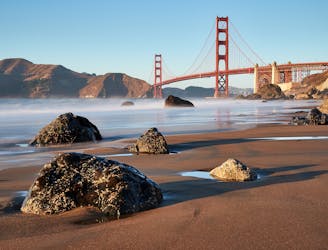
A path that links cliff-top views, sandy beaches, cypress groves, historic war defenses, and the entrance to the Golden Gate Bridge.
Easy Hiking
9.4 km away
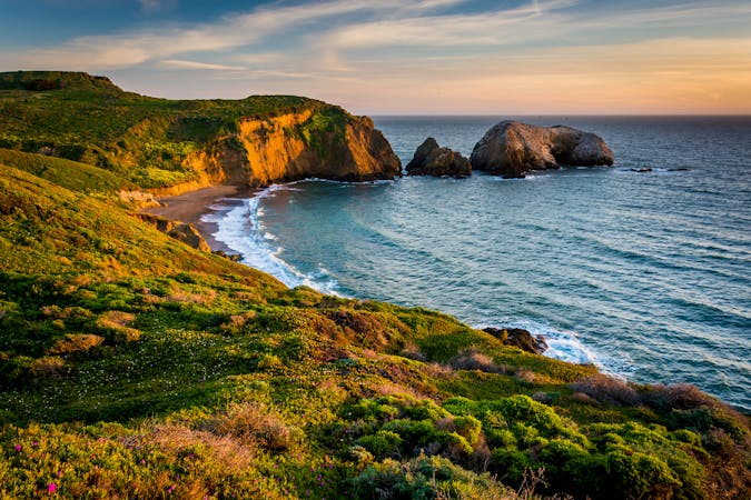
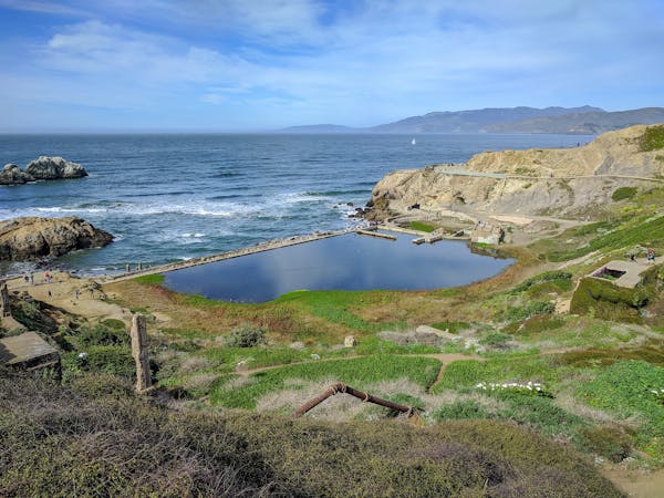
Explore history and scenery along the dramatic coastline near the Golden Gate Bridge.
Difficult Hiking

12 routes · Hiking
7 routes · Hiking
7 routes · Hiking · Road Biking · Trail Running

13 routes · Hiking · Trail Running
8 routes · Hiking · Road Biking