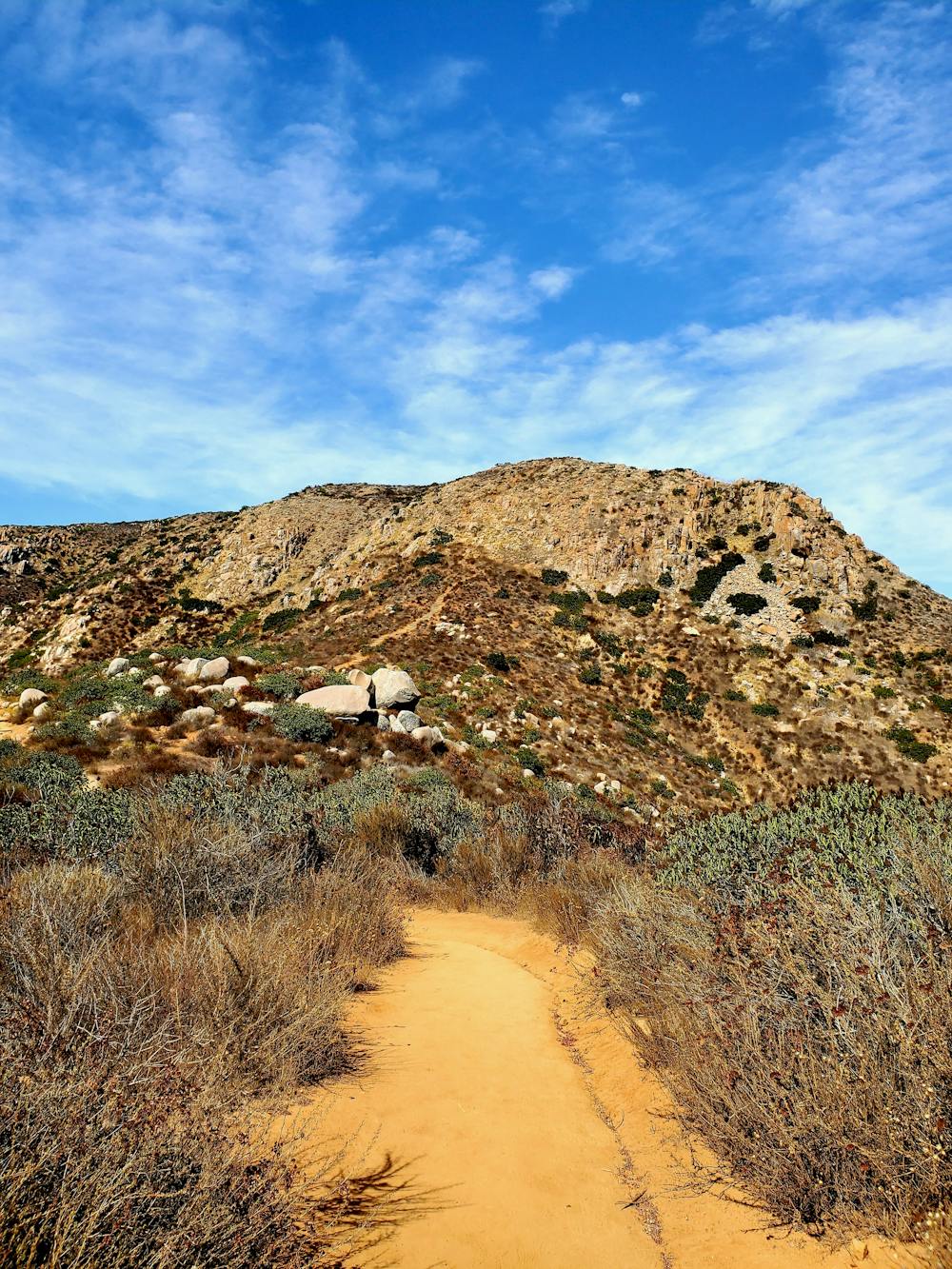
To begin the hike, you will start at the south trailhead and follow a series of trails that cross a creek, a meadow, a river, and a steep hill. There are wooden bridges crossing most of the streams and rivers, so you don't need to worry about getting your feet wet.
After turning right to head up the pass, you'll encounter the highlight of this hike: the "Stairway to Heaven," a set of wooden steps that lead you to the saddle between the two peaks.
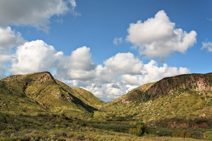
From there, you will turn right and follow a ridge trail to the summit, where you can enjoy panoramic views of San Diego and beyond. After taking in the scenery, you can return the same way or make a loop by taking another trail back to the river crossing. The route shown here is the loop option.
This hike is moderate to difficult and has an elevation gain of 1,427 feet. It is a popular trail for hiking, running, and birdwatching, and is open year-round and dog-friendly. For more information, visit Mission Trails Regional Park Online.
Sources:
https://mtrp.org/
Conversation with Bing Chat