FATMAP by Strava

Tahoe Rim Trail: Big Meadow to Echo Lakes

Lake Tahoe

Sierra-at-Tahoe

Explore a patchwork of forests, meadows, and lakes in the Upper Truckee River Basin south of Lake Tahoe.

Hiking Difficult

Distance
27 km
Ascent
1 km
Descent
968 m
Duration
7-8 hrs
Low Point
2.2 km
High Point
2.7 km
Gradient
10˚
Tahoe Rim Trail: Big Meadow to Echo Lakes Map

This section of the Tahoe Rim Trail makes a deep U-shaped course through the headwaters of the Upper Truckee River, the primary inflow to Lake Tahoe. Its large basin is rimmed with barren summits, dotted with lakes and granite outcrops, and carpeted in greenery.

Description

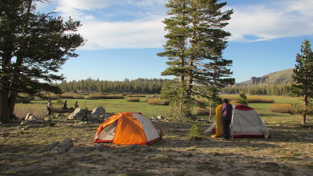
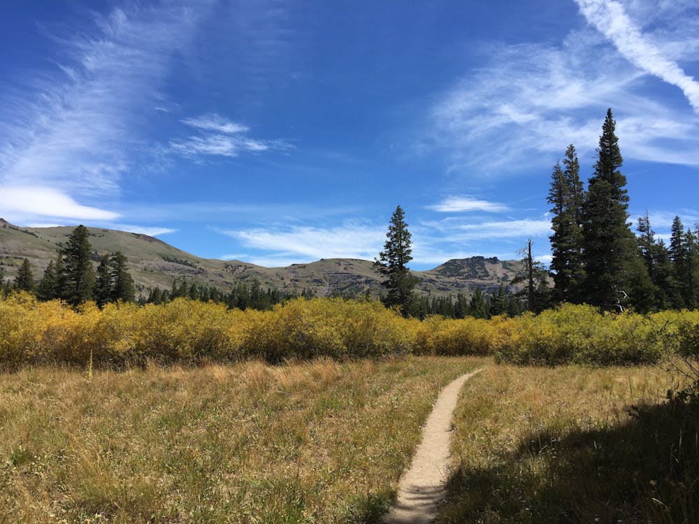
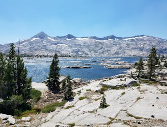
From Big Meadow campground, the trail leads south across the road, through a stretch of forest, then across a very large meadow with a meandering stream. Beyond the field of green grass and colorful flowers is a horizon of imposing peaks. Re-enter the trees on the other side to continue through rolling hills of alternating forest and small meadows in the rolling hills at the foot of these mountains.

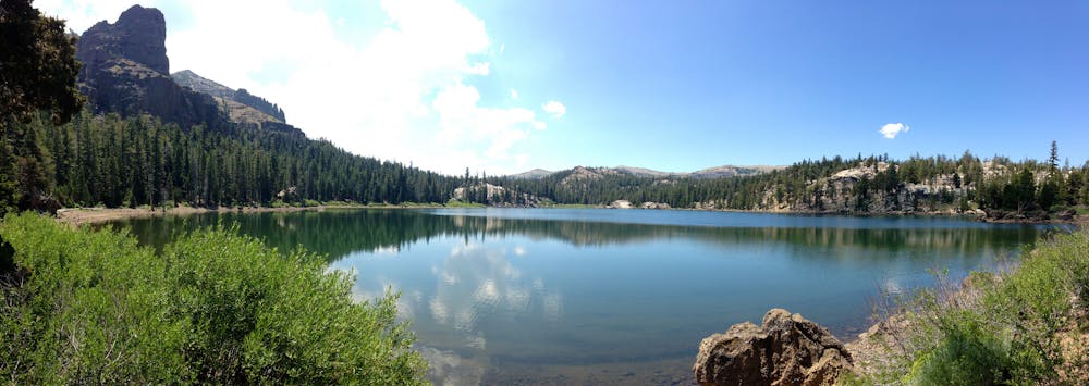
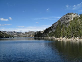
Pause to enjoy the tranquility of Round Lake, which sits nestled between steep slopes of granite, then continue through forest and meadows even more verdant than before, as you move gently up in elevation. Soon comes the junction with the Pacific Crest Trail, which the Tahoe Rim Trail joins for the next 50 miles. Follow the PCT northward, past the shimmering blue Showers Lake, climbing to the west rim of the basin.

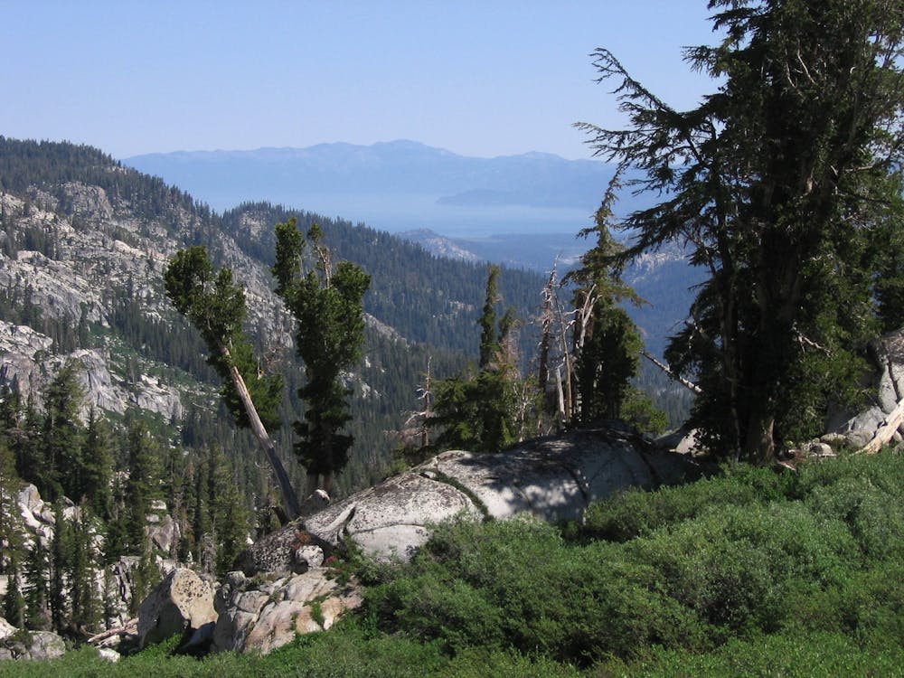
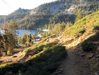
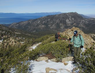
Over the next several miles, the terrain becomes progressively more rugged and water sources less frequent as the trail traverses a high ridgeline. It then descends steeply off this ridge to meet US-50 at Echo Summit and continues a bit farther up to Echo Lakes.

Sources: https://tahoerimtrail.org/maps-trail-info/ https://tahoerimtrail.org/wp-content/uploads/2017/04/MapBrochBMtoEL.pdf https://en.wikipedia.org/wiki/TahoeRimTrail

Difficulty

Difficult

Hiking trails where obstacles such as rocks or roots are prevalent. Some obstacles can require care to step over or around. At times, the trail can be worn and eroded. The grade of the trail is generally quite steep, and can often lead to strenuous hiking.

Low Exposure

1 out of 4

The path is on completely flat land and potential injury is limited to falling over.

Remoteness

2 out of 4

Away from help but easily accessed.

Best time to visit

between July and October

Features

  • Wildlife
  • Picturesque
  • Dog friendly
  • Wild flowers
  • Water features
  • Forestry or heavy vegetation

Similar routes nearby

Guidebooks in this area