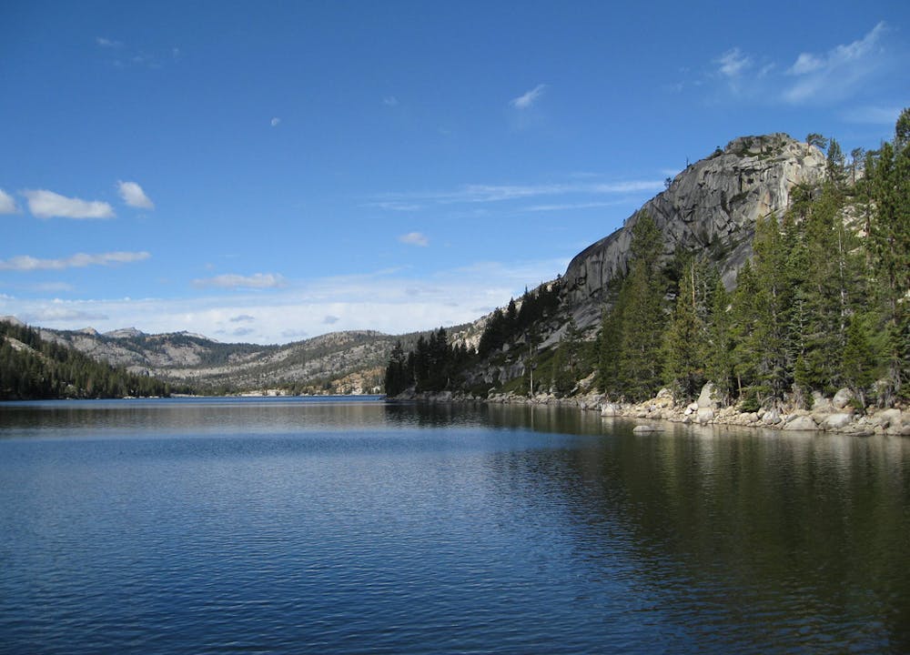
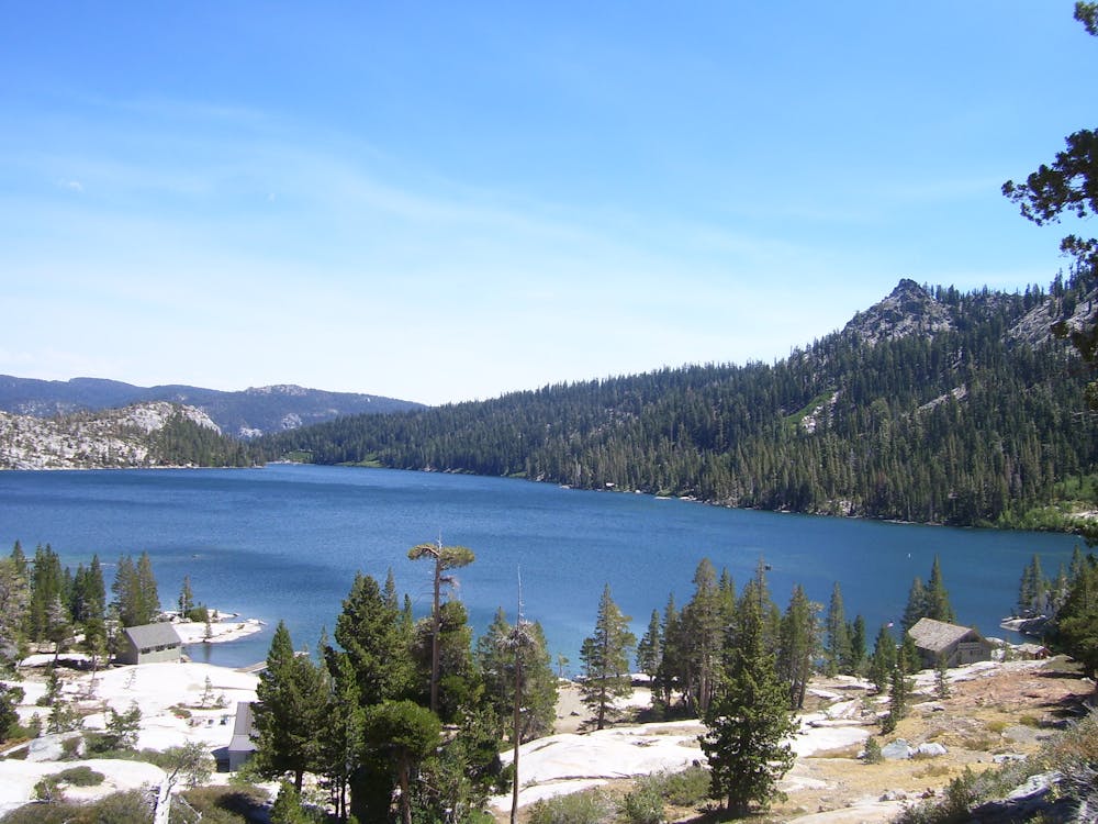
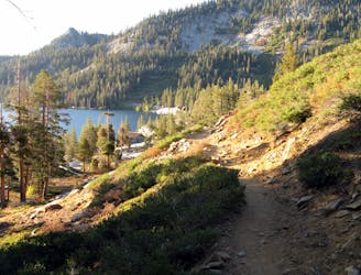
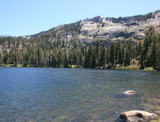
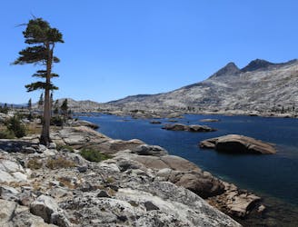
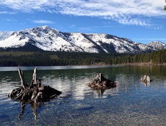
Beginning from the Echo Chalet, the trail travels up onto a hillside to traverse above the north shore of the Echo Lakes. Early in the hike, there are places you can scramble down to the water to swim on a hot summer day. Private cabins take over the lakeshore after the first half mile, however, so the swimming opportunities dwindle. There are more spots to swim at the far end of Upper Echo Lake, or in higher alpine lakes if you continue into Desolation Wilderness.
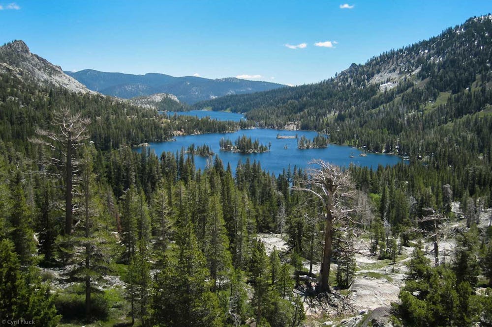
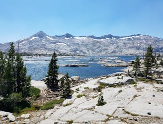
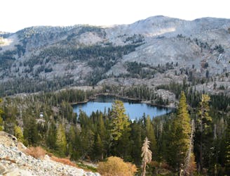
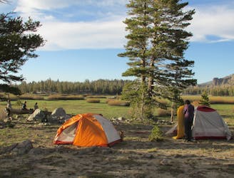
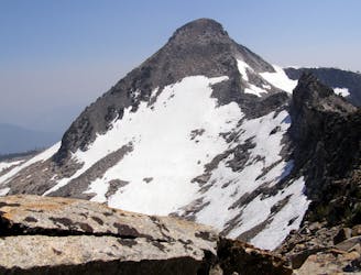
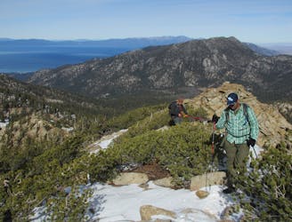
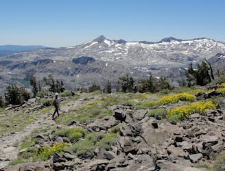
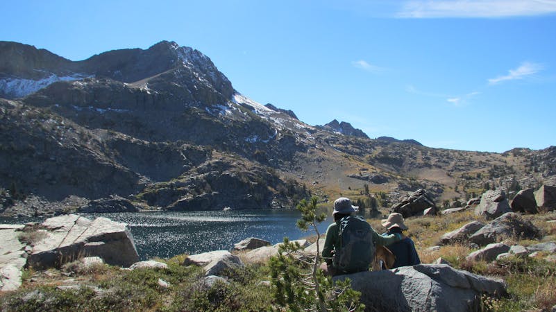
If you want to continue past Upper Echo Lake into the wilderness area, you must fill out a free wilderness permit at the trailhead. Beautiful, smaller lakes and uncrowded trails await higher in the hills, as well as peaceful backcountry camping.
Echo Chalet operates water taxis on demand that can take you one or both ways through the echo lakes. If you want to skip the 2.5-mile trail along the lakes and get right into the wilderness, or if you hike to one end of the lakes but want a lift back, you can order a boat ride from the chalet.
Sources:
https://www.fs.usda.gov/recarea/ltbmu/recreation/hiking/recarea/?recid=11796&actid=50
https://thetahoeweekly.com/2018/08/echo-lakes-gateway-to-desolation-wilderness/
http://www.echochalet.net/boat-taxi-services/