FATMAP by Strava

Pyramid Peak via Rocky Canyon

Lake Tahoe

Very steep and direct route to the highest peak in the Desolation Wilderness.

Hiking Difficult

Distance
10 km
Ascent
1.2 km
Descent
1.2 km
Duration
4-5 hrs
Low Point
1.8 km
High Point
3 km
Gradient
18˚
Pyramid Peak via Rocky Canyon Map

If you hike anywhere in the Desolation Wilderness—along the PCT to Lake Aloha, Glen Alpine Trail toward Gilmore Lake, or to the top of Mount Tallac—you’ll notice Pyramid Peak. This monumental hulk of granite is the tallest peak on an elongates massif at the southeast edge of the wilderness area. Despite its prominence, there is no official trail to the top. That has, of course, not stopped peak baggers lured by its status as the highest point in the Desolation Wilderness. Multiple routes to the summit exist, but Rocky Canyon is the most straightforward and therefore most popular.

Description

It begins from a nondescript spot on Highway 50, where a creek and a social trail lead up into a forested canyon, and then the rocky south slope of the mountain. It is a tenaciously direct line to the top, gaining more than 4,000 vertical feet in about 3 miles.

To find the trail, park at a shoulder turnout on the north side of Highway 50, about 100 yards west and downhill of a gravel chain-up area on the opposite side of the road, near mile marker 59. The turnout is located at 38.807133, -120.138127. From there, walk just past the chain-up area where a small creek flows under the road. Look for a faint trail near the creek and take this into the forest.

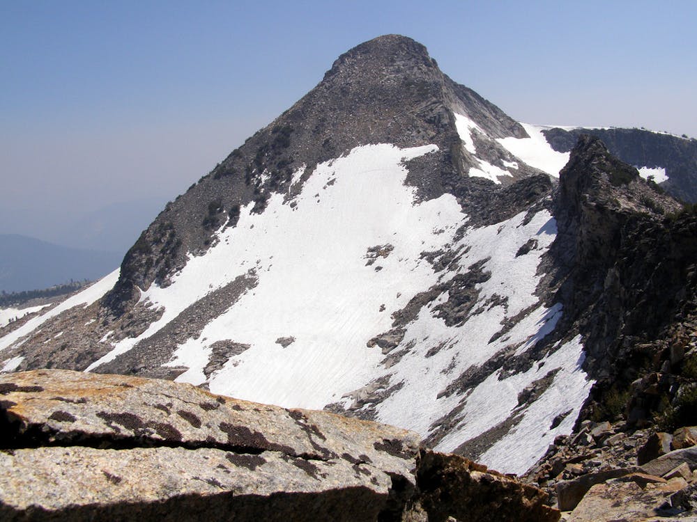
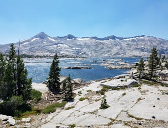
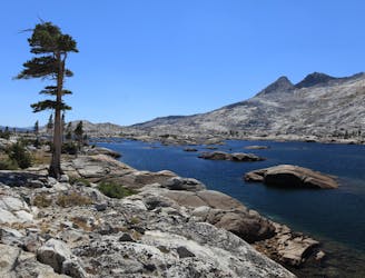
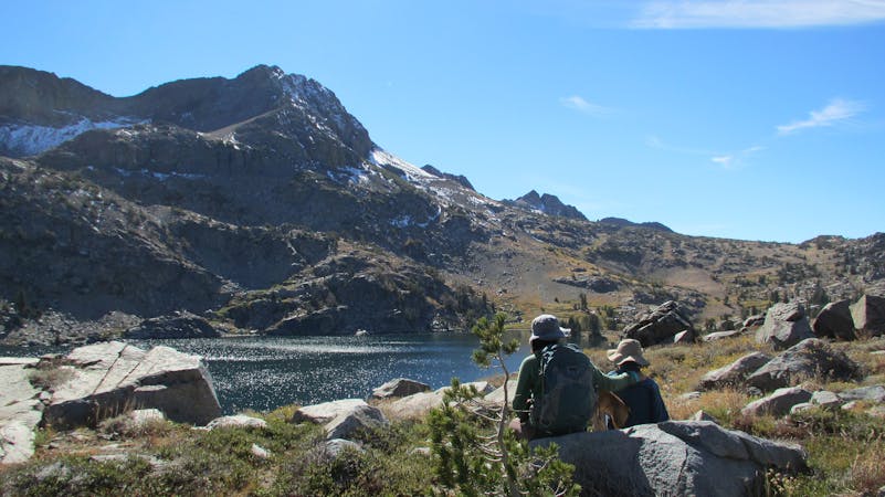
The path might be hard to follow at first, but it becomes more obvious as you get higher in the canyon and near treeline. In general, follow the main drainage up the canyon. At about 8,500 feet elevation you will break out of the forest and onto Pyramid’s broad south ridgeline. Punch straight up this, over talus and through stunted spruce and pine, to finally reach the lofty summit. Enjoy immense views over all of the Desolation Wilderness, with its many water-filled granite basins, bald summits, and snowfields. The southeast edge of Lake Tahoe can be seen in the distance beyond Mount Tallac, with the Carson Range as a backdrop.

Sources: https://www.summitpost.org/pyramid-peak/151024 https://www.summitpost.org/rocky-canyon-se-ridge/156730

Difficulty

Difficult

Hiking trails where obstacles such as rocks or roots are prevalent. Some obstacles can require care to step over or around. At times, the trail can be worn and eroded. The grade of the trail is generally quite steep, and can often lead to strenuous hiking.

High Exposure

3 out of 4

Some trail sections have exposed ledges or steep ascents/descents where falling could cause serious injury.

Remoteness

2 out of 4

Away from help but easily accessed.

Best time to visit

between June and November

Features

  • Alpine
  • Picturesque
  • Summit Hike
  • Dog friendly
  • Wild flowers
  • Forestry or heavy vegetation

Similar routes nearby

Guidebooks in this area