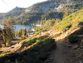
The trailhead is at Lily Lake, a small lake along Glen Alpine Creek. The trail begins by following the creek up through its forested valley at the base of Mount Tallac. In the first mile you will see some nice waterfalls along the creek, then come to the site of the historic Glen Alpine Springs Resort. This was a fancy mountain retreat more than 100 years ago, built around a natural mineral spring. Today the grounds are preserved as an outdoor museum. Volunteer staff lead tours for visitors during the summer, or you can browse the grounds by yourself at any time.
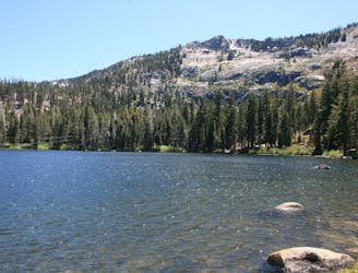
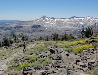
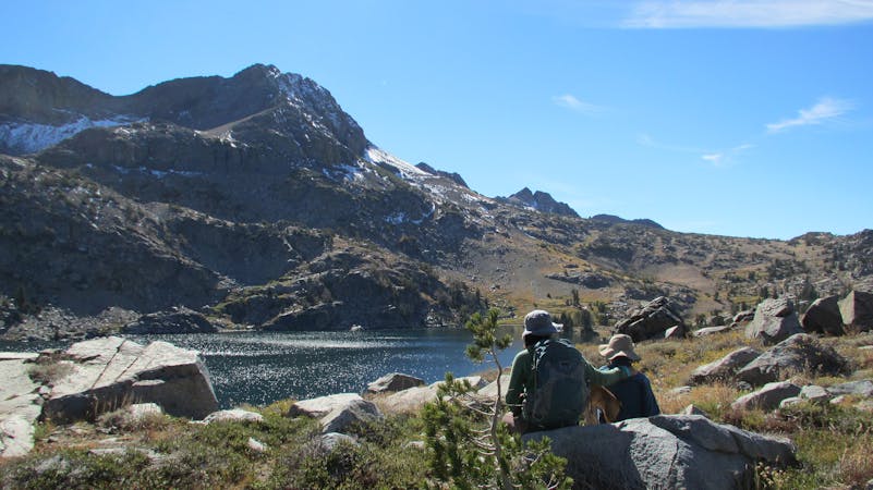
Continue past the springs if you want a more challenging hike in the upper part of the valley. A short spur trail leads to Grass Lake, which should be the turnaround point of your hike if you want to keep it mellow. For those who want more, the junction with the Pacific Crest Trail and more alpine lakes await further along the main trail. Instead of going to Grass Lake, stay on the Glen Alpine Trail as it gets very steep and rocky on sunny, south-facing slopes.
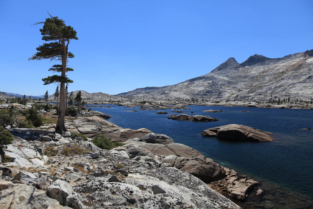
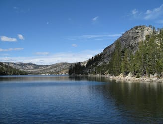
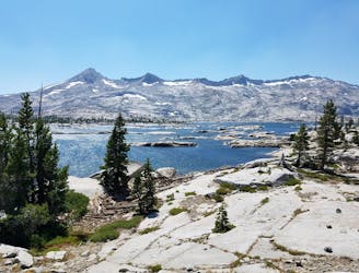
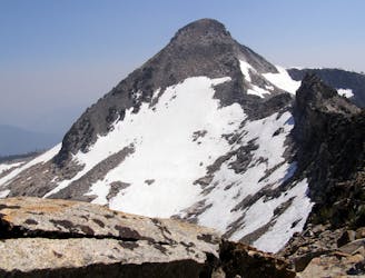
The gradient soon lessens where the trail meets a little creek and a few small ponds, and comes to a fork. At this point you are near the junction with the shared Pacific Crest and Tahoe Rim Trails, which run roughly north-south here. To the south is Susie Lake, Heather Lake, and the island-dotted Lake Aloha. Go left at the fork and cross the creek to reach these lakes. To the north along the Pacific Crest/Tahoe Rim Trail is Gilmore Lake and the side trail that climbs steeply up Mount Tallac. Go right at the fork for these destinations.
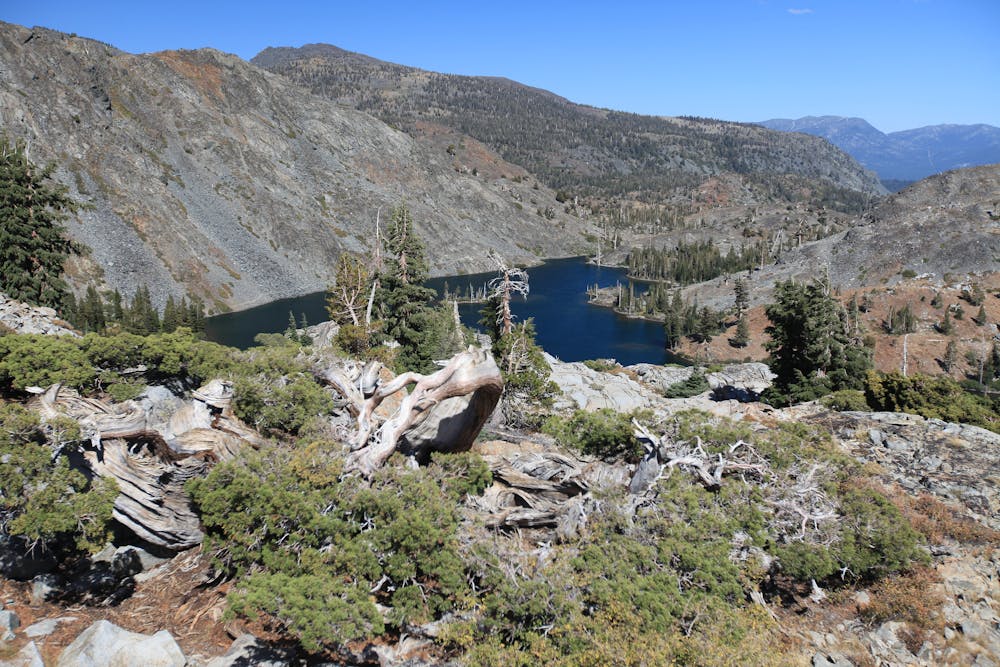
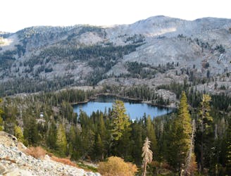
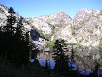
The route mapped here culminates at Gilmore Lake, but as noted above, you can choose from any number of variants in this area!
Sources:
https://www.fs.usda.gov/recarea/ltbmu/recreation/hiking/recarea/?recid=11797&actid=50
http://southtahoenow.com/story/10/14/2015/history-hike-glen-alpine-springs