1.2 km away
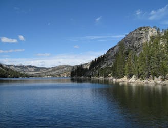
Mount Tallac
Stroll through the forest past alpine lakes, then tackle a strenuous climb to the top of the proudest peak on Lake Tahoe's shore.
Difficult Hiking
- Distance
- 15 km
- Ascent
- 1 km
- Descent
- 1 km
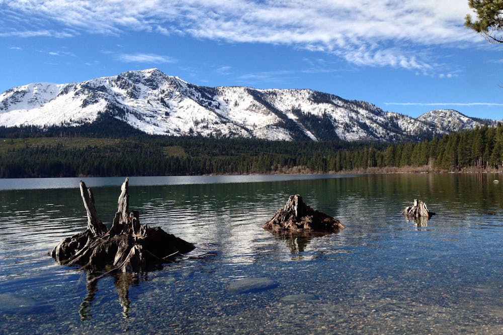
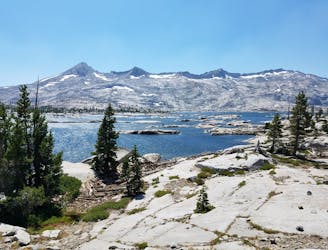
Short trail from Fallen Leaf Lake Campground with views of the lake and Taylor Creek.
Hiking Easy

This is a super short and easy loop that begins in Fallen Leaf Campground. It leads through shady old growth forest along the bank of Taylor Creek and the shore of Fallen Leaf Lake, on the lake’s moraine.
A moraine is the mound of earth that builds up in front of a glacier. When the glacier that was here melted away, water filled the space and was partially dammed by the moraine, creating a natural lake.
Today, the lake level is controlled by a small dam on the creek that flows through the moraine, which you can see from the trail. You will also get great views across the lake to Mount Tallac and Echo Peak.
The main loop is short and confined to a small area, but you can follow paths along the lakeshore to go farther. Be mindful of private property if you venture too far from the campground.
The Moraine Trail is most popular with campers during the summer, but is good any time of year. There is free day-use parking at the trailhead, near campsite #75. When the campground is closed in winter, you must walk or ski through the campground from the road to access the trail.
Sources: https://www.fs.usda.gov/recarea/ltbmu/recreation/hiking/recarea/?recid=11795&actid=50 https://www.fs.usda.gov/Internet/FSEDOCUMENTS/stelprdb5176362.pdf
Easy
Walking along a well-kept trail that’s mostly flat. No obstacles are present.

The path is on completely flat land and potential injury is limited to falling over.
Close to help in case of emergency.
1.2 km away
Stroll through the forest past alpine lakes, then tackle a strenuous climb to the top of the proudest peak on Lake Tahoe's shore.
Difficult Hiking
5.1 km away
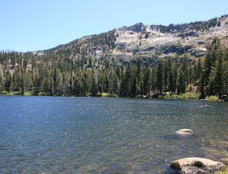
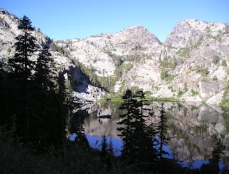
Short hike to a stunning alpine lake with the amenities of day-use or overnight kayak and cabin rentals at Angora Lakes Resort.
Moderate Hiking
5.5 km away
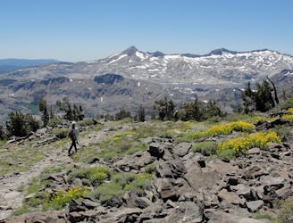
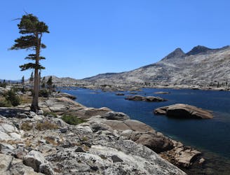
Ascend steeply through intimidating cliff bands to reach a high saddle on Echo Peak, then drop down into a granite basin of sparkling lakes in the Desolation Wilderness.
Difficult Hiking
5.6 km away
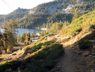
Easy hike past waterfalls, lakes, and a historic springs resort that leads to more strenuous trails in the Desolation Wilderness, including a way to the top of Mount Tallac.
Moderate Hiking
6 km away
Easy uphill hike past a waterfall to a lake in the mountains outside Emerald Bay State Park.
Easy Hiking
9.1 km away
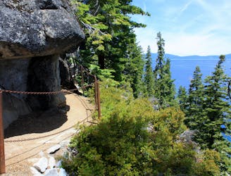
A scenic hike along Lake Tahoe's shore that links overlooks, swimming beaches, a waterfall, and a historic mansion in two state parks.
Moderate Hiking
9.9 km away
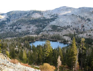
A section shared with the Pacific Crest Trail that tours many alpine lakes and incredible overlooks in the glacier-carved granite valleys of the Sierra Nevada’s Desolation Wilderness.
Difficult Hiking
9.9 km away
Stroll along a portion of the Tahoe Rim Trail beside large alpine lakes.
Easy Hiking
9.9 km away
Miles 1092.3-1124.8 of the northbound PCT: Through the Desolation Wilderness near Lake Tahoe, packed with alpine lakes and prime camping within polished granite basins.
Moderate Hiking

8 routes · Hiking

14 routes · Hiking

5 routes · Alpine Climbing · Hiking

72 routes · Hiking