Orcs
A wide-open face providing a delightful companion to the main Mirkwood Bowl.
Difficult Freeride Skiing
- Distance
- 2.3 km
- Ascent
- 88 m
- Descent
- 302 m
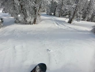
A short, steep, techy line at the end of the ridge.
Freeride Skiing Severe

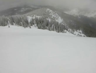
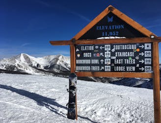
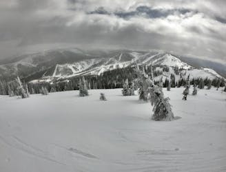
To reach the East Trees, drop from the top of Mirkwood Bowl toward Mirkwood Trees, traversing along the ridge to skier’s right. Remain high on the ridge, passing Mirkwood Trees and Staircase, while working your way to the very end of the ridge. Unfortunately, you’ll lose quite a bit of elevation as you drop down the ridge, meaning that the run down East Trees is over quite quickly.
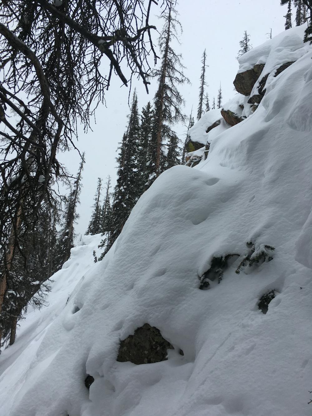
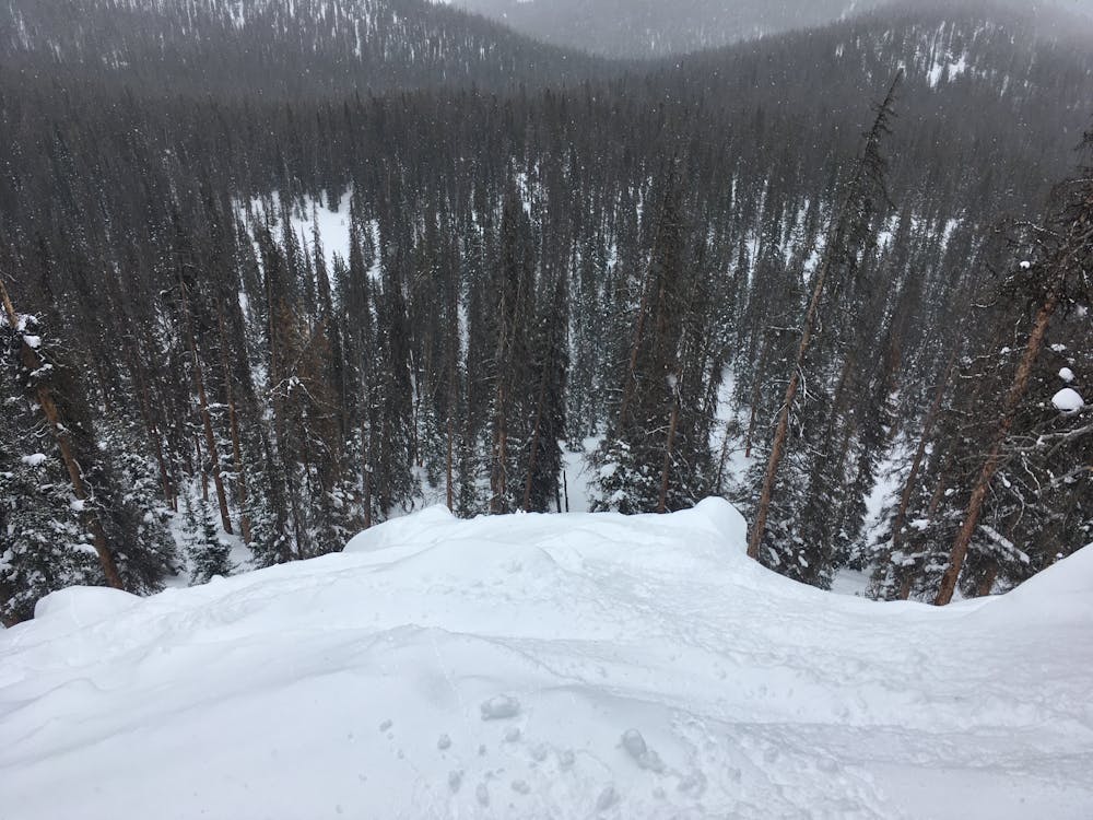
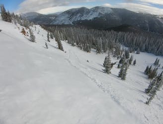
The primary line in the East Trees descends an open face that’s actually a slabby rock cliff, with a maximum steepness of 40°. Unfortunately, it takes a lot of snow to fill in this line, as the snow that does accumulate has a tendency to sluff off the rock face.
If you do decide to take the obvious line, be aware that it’s easy to break the slab loose, even if it looks secure. While this may not cause a significant slide to occur, if you’re unused to skiing unstable snow and technical terrain, it could cause a crash or injury.
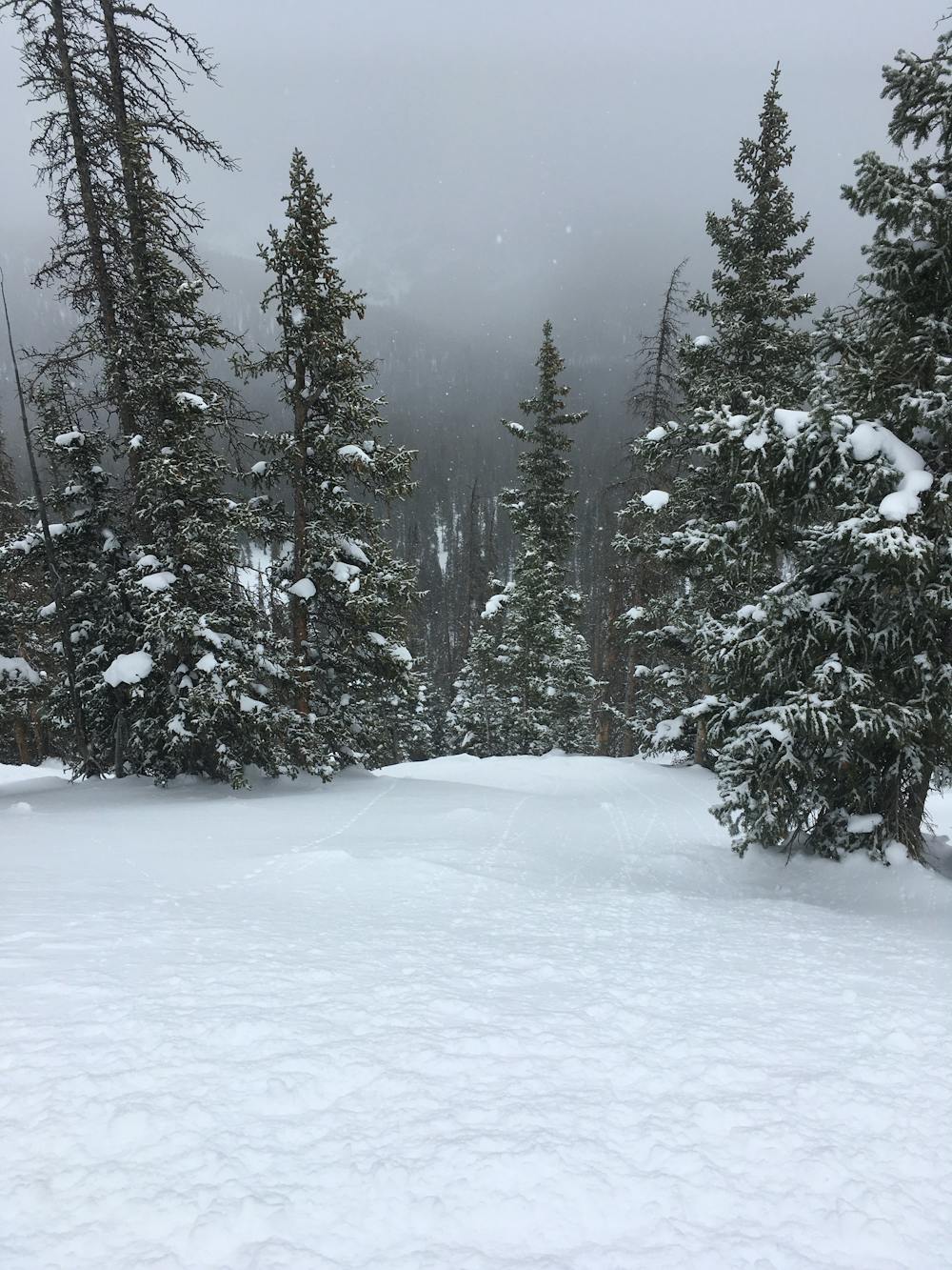
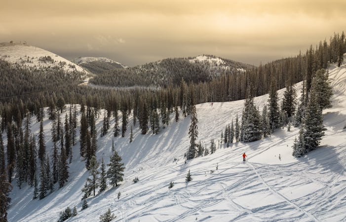
Even though Mirkwood Basin is technically avalanche-controlled, unmarked hazards do exist, and it’s still possible to cause a significant in-bounds slide if you’re not careful. As the signs at the base of the hike advise, it’s always best to ski or ride with a partner, carry standard avalanche gear, and know how to use it.
Severe
Steep skiing at 38-45 degrees. This requires very good technique and the risk of falling has serious consequences.

In case of a fall, death is highly likely.
Little chance of being seen or helped in case of an accident.
A wide-open face providing a delightful companion to the main Mirkwood Bowl.
Difficult Freeride Skiing
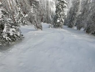
A delightful, widely-spaced glade.
Difficult Freeride Skiing
The easiest line in Mirkwood Trees, which still tends to hold excellent snow.
Difficult Freeride Skiing
The most popular freeride line in Mirkwood Basin.
Difficult Freeride Skiing
The first wide-open line on Elation Ridge.
Difficult Freeride Skiing

The second obvious line down Elation Ridge, and the beginning of the larger cliff bands.
Difficult Freeride Skiing
0 m away
The only single black diamond-rated line in the Mirkwood zone.
Moderate Freeride Skiing
0 m away

A longer, tighter version of Lodgeview
Moderate Freeride Skiing
0 m away

Home to the best senders at Monarch Mountain.
Difficult Freeride Skiing
0 m away

A wide-open glade at the end of the ridge.
Moderate Freeride Skiing
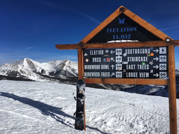
13 routes · Freeride Skiing
8 routes · Freeride Skiing · Resort Ski Touring